Summary
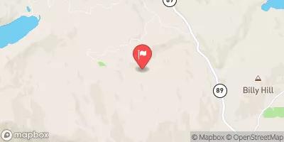
The ideal streamflow range for this section of the river is between 800-1500 cfs, as it provides the perfect balance of challenging rapids and manageable conditions. The class rating of this section of the river is Class III-V, meaning it is suitable for experienced paddlers only. The segment mileage of the Whitewater River Run State Park to Confluence with Middle Fork Feather WSR is approximately 10 miles, and it is known for its challenging rapids and obstacles, including "The Wall," "The Chute," and "The Slot."
There are specific regulations in place for this area, including a mandatory shuttle service provided by local outfitters due to limited parking. Additionally, all boaters must obtain a permit from the Bureau of Land Management before entering the river. The permit includes a list of rules and guidelines, such as a prohibition on littering and a requirement to carry out all trash.
°F
°F
mph
Wind
%
Humidity
15-Day Weather Outlook
River Run Details
| Last Updated | 2026-02-07 |
| River Levels | 205 cfs (6.23 ft) |
| Percent of Normal | 16% |
| Status | |
| Class Level | iii-v |
| Elevation | ft |
| Streamflow Discharge | cfs |
| Gauge Height | ft |
| Reporting Streamgage | USGS 11401920 |
5-Day Hourly Forecast Detail
Nearby Streamflow Levels
Area Campgrounds
| Location | Reservations | Toilets |
|---|---|---|
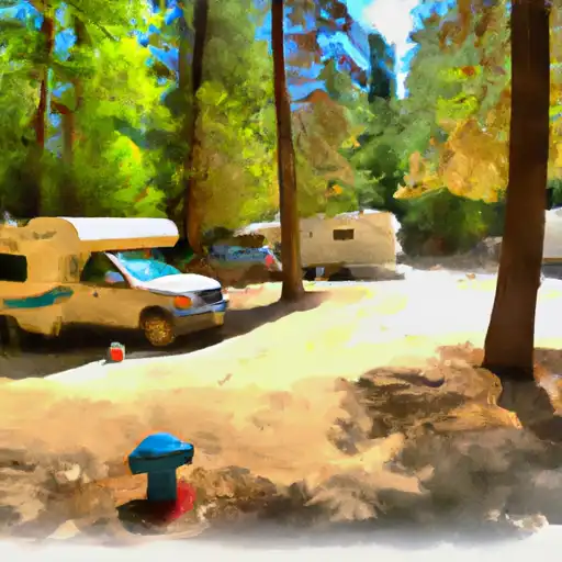 Plumas - Eureka State Park
|
||
 Rivers RV Park
|
||
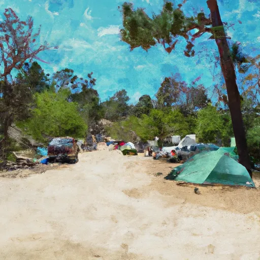 Ross Campground
|
||
 Lakes Basin Group Campground
|
||
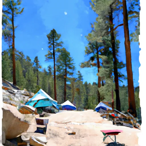 Lakes Basin Campground
|
||
 Lakes Basin .
|


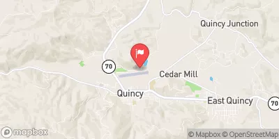
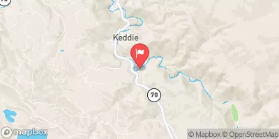
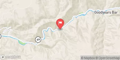
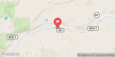
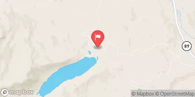
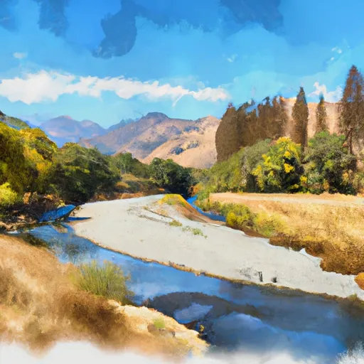 State Park To Confluence With Middle Fork Feather Wsr
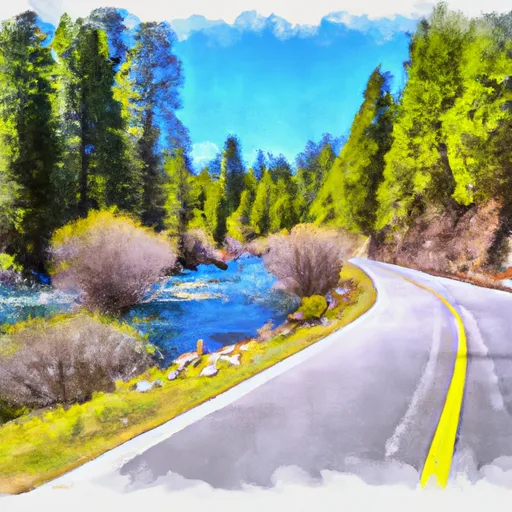 Gold Lake Highway To Nf Boundary
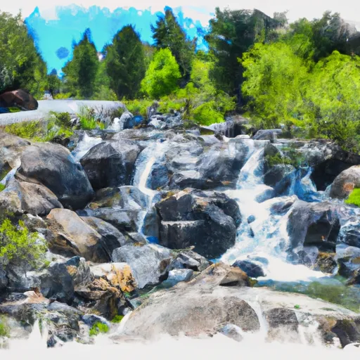 Falls To Gold Lake Highway
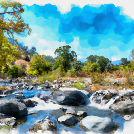 Little Jamison Creek Headwaters To State Park
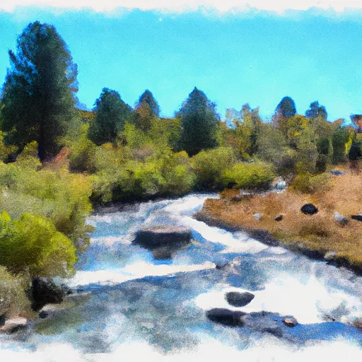 Headwaters To State Park
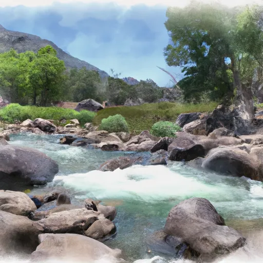 East Branch Nelson Creek Headwaters To Confluence With Nelson Creek