Little Jamison Creek Headwaters To State Park river run
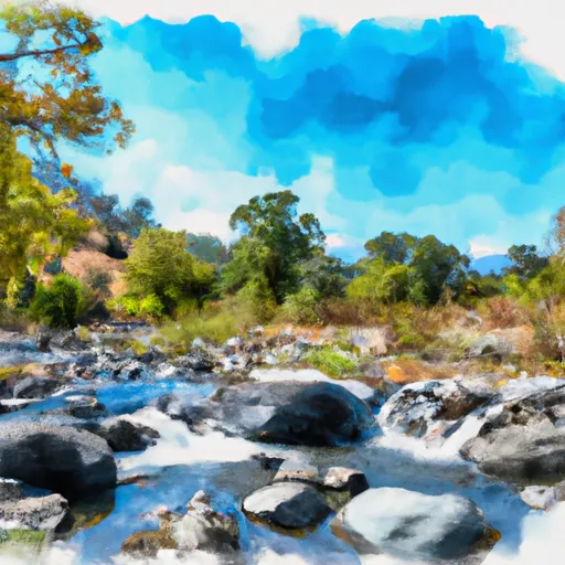
Little Jamison Creek Headwaters To State Park
The segment mileage for this run is approximately 6 miles and features several exciting rapids and obstacles. Some of the notable rapids include Upper and Lower Jamison, Oak Flat, and Chinese Wall. These rapids offer a range of challenges, including drops, chutes, and boulder gardens.
The Little Jamison Creek Headwaters To State Park is located in a protected wilderness area, and there are specific regulations that visitors must adhere to. These include obtaining a permit before entering the area, following Leave No Trace principles, and respecting the wildlife and natural resources in the area. Additionally, visitors must ensure that they have the necessary equipment and skills to safely navigate the river.
Overall, the Little Jamison Creek Headwaters To State Park is a thrilling whitewater river run that offers a range of challenges for experienced paddlers. It is important to check the streamflow conditions before attempting this run and to ensure that you have the necessary skills and equipment to navigate the rapids safely.
Plan your run down to the hour
Same weather feed Snoflo's iOS app uses -- updated continuously from NOAA / yr.no. Watch the precipitation column on the meteogram; rain ahead of a run typically lifts flows 12-48 hours later depending on the basin.
Next 5 days, hour by hour
Temperature line with weather symbols on top, snow + rain accumulation as columns, humidity as a dotted line.
5-day forecast table
Every 3 hours, broken out across temperature, snow, rain, humidity, and wind. Each cell is colour-coded relative to the column min/max.
| Time | Condition | Temp (°F) | Snow (in) | Rain (in) | Humidity (%) | Wind (mps) | Wind dir |
|---|---|---|---|---|---|---|---|
| Loading detailed forecast… | |||||||
15-day temperature & precipitation
Daily temperatures, snow, and rain projected over the next two weeks -- the upstream story that drives next week's flows.
Regional streamflow levels
USGS streamgauges around Little Jamison Creek Headwaters To State Park -- useful for spotting upstream pulses and gauging which tributary is contributing what.
| Streamgauge | Discharge | View |
|---|---|---|
| N Yuba R Bl Goodyears Bar Ca | 631 cfs | → |
| Spanish C A Quincy Ca | 58 cfs | → |
| Spanish C Ab Blackhawk C At Keddie Ca | 118 cfs | → |
| Little Truckee R Bl Div Dam Nr Sierraville Ca | 3 cfs | → |
| Independence C Nr Truckee Ca | 10 cfs | → |
| Sagehen C Nr Truckee Ca | 13 cfs | → |
Plan a longer trip
The closest boat launches, other paddle runs, and campgrounds so a day on the water can grow into a full weekend.
Boat launches
- Salmon Lake -Boat Ramp Boating Site
- Salmon Lake Road 1500, Sierra City
- Sardine Lake Road 990, Sierra City
- Smokey Lane 44-50, Alleghany
- Plumas County
- Peninsula Road, Strawberry Valley
Other river runs
- Headwaters To State Park
- Gold Lake Dam To Falls
- Falls To Gold Lake Highway
- Gold Lake Highway To Nf Boundary
- Headwaters Of North Fork Canyon Creek (Sec 6, T21n, R11e) To Confluence With East Fork Canyon Creek
Campgrounds
- Plumas - Eureka State Park
- Lakes Basin Group Campground
- Lakes Basin Campground
- Lakes Basin .
- Ross Campground
- Gold Lake 4x4
Fishing spots
Whitewater safety
- Check the flow before you run
- Use the linked-gauge card and Regional Flow panel above. Class ratings change with flow -- a Class III at low water can become Class IV+ at high water.
- Know your skill ceiling
- Pick runs comfortably below your ceiling. Cold-water and big-water runs raise the consequences of any mistake.
- Wear the right gear
- Helmet, PFD, drysuit / wetsuit when water is below 60°F. Throw bag, knife, and whistle on your person, not in the boat.
- Scout, set safety, and run with a team
- Scout new rapids on foot, set safety with throw bags above the consequence pool, and run with at least one other competent paddler.
- Respect the river
- Strainers, undercuts, low-head dams, and wood can kill at any class rating. When in doubt, portage.
Set push alerts in the Snoflo app
Save Little Jamison Creek Headwaters To State Park as a favorite, set a discharge threshold (e.g. "alert me when flow hits 600 cfs"), and the iOS app pushes the moment the linked gauge crosses.
About Little Jamison Creek Headwaters To State Park
What's the optimal flow for Little Jamison Creek Headwaters To State Park?
The optimal flow depends on the section and the craft. Check the Run Details panel for the linked gauge and current status.
How fresh is the cfs reading on this page?
The linked USGS streamgauge reports continuously (every 15 minutes); Snoflo refreshes throughout the day. Hover the streamflow sparkline to read individual datapoints.
What's the whitewater class?
See the Run Details panel for the class rating Snoflo tracks for this run. Class ratings change with flow -- a Class III at low water can become Class IV in high water.
Where do I put in / take out?
Tap Directions in the hero above to open driving directions to the put-in. For shuttle planning, check the Nearby Boat Launches panel and the river run operator's site.
Can I get alerts when flows hit the optimal range?
Yes -- alerts are managed in the Snoflo iOS app. Favorite this run, set a discharge threshold, and you'll get a push the moment the gauge crosses.
Other runs near here
Snoflo-tracked paddle runs within driving distance of Little Jamison Creek Headwaters To State Park.