Summary
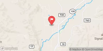
The ideal streamflow range for this run is between 800-1500 cfs, making it a Class III-IV rapids rating. The segment mileage for this run is approximately 6 miles, starting from the boundary of the recreation area to the high-water line of the Blue Mesa Reservoir.
This stretch of the river includes several exciting rapids and obstacles, such as the "Squeeze Play," "The Holes," and "The Wall." These rapids offer challenging and thrilling experiences for experienced paddlers, but it is essential to have the right skills and equipment to navigate them safely.
There are specific regulations in place for this area, including the requirement for a permit to access the river. The use of personal flotation devices is mandatory, and all paddlers must have a whistle and a throw rope. Additionally, camping is only allowed in designated areas to protect the sensitive ecosystem of the recreation area.
Overall, the Whitewater River Run in the Curecanti National Recreation Area is an exciting and challenging stretch of river that offers breathtaking scenery and thrilling rapids for experienced paddlers. It is essential to adhere to all regulations and safety guidelines to ensure a safe and enjoyable experience.
°F
°F
mph
Wind
%
Humidity
15-Day Weather Outlook
River Run Details
| Last Updated | 2025-12-08 |
| River Levels | 1080 cfs (3.53 ft) |
| Percent of Normal | 121% |
| Status | |
| Class Level | iii-iv |
| Elevation | ft |
| Run Length | 1.0 Mi |
| Streamflow Discharge | cfs |
| Gauge Height | ft |
| Reporting Streamgage | USGS 09124500 |
5-Day Hourly Forecast Detail
Nearby Streamflow Levels
 Lake Fork At Gateview
|
100cfs |
 Cimarron River Bl Squaw Creek
|
41cfs |
 Cimarron River Near Cimarron
|
11cfs |
 Tomichi Creek At Gunnison
|
99cfs |
 Gunnison River Near Gunnison
|
168cfs |
 Ohio Creek Above Mouth Nr Gunnison
|
26cfs |
Area Campgrounds
| Location | Reservations | Toilets |
|---|---|---|
 Gateview Campground
|
||
 Lake Fork Arm Boat-In Campsite
|
||
 Lake Fork Arm
|
||
 Red Bridge Campground
|
||
 Cebolla Boat-In Campsite
|
||
 Cebolla Creek
|


 US 50 Sapinero
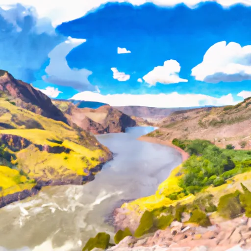 Curecanti National Recreation Area Boundary To High Water Line Of Blue Mesa Reservoir
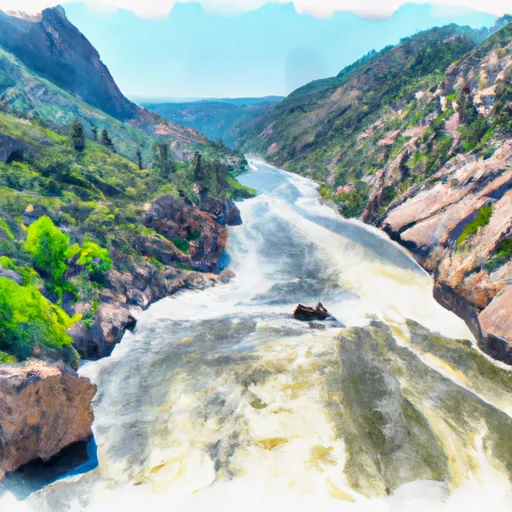 Curecanti National Recreation Area Boundary To High Water Line Of Morrow Point Reservoir