Summary
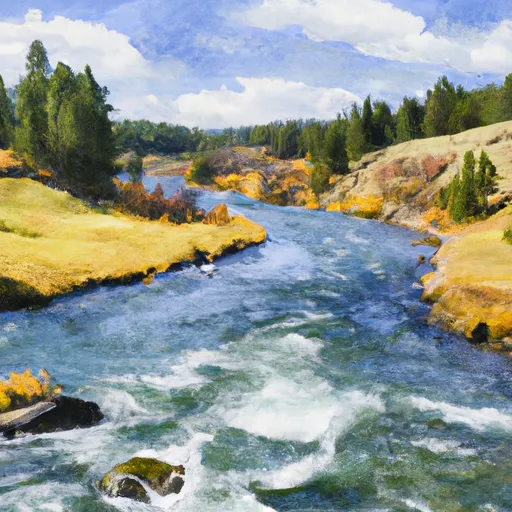
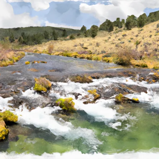
The Middle Fork Indian Creek Headwaters to Mainstem run in Montana is a popular whitewater river run. The ideal streamflow range for this section of the river is 800-1500 cfs. This section is rated as Class III-IV and has a total segment mileage of 9.4 miles. The river features several rapids and obstacles, including the Indian Creek Falls, which is a 15-foot waterfall that requires portage. Other notable rapids include Double Trouble, Pinball, and Wolf Creek Rapid.
Specific regulations to the area include a permit requirement for commercial outfitters. Private boaters are also required to obtain a permit and are limited to a maximum of 20 people per group. Additionally, boaters are required to pack out all waste and follow Leave No Trace principles.
°F
°F
mph
Wind
%
Humidity
15-Day Weather Outlook
River Run Details
| Last Updated | 2026-02-07 |
| River Levels | 15300 cfs (10.34 ft) |
| Percent of Normal | 117% |
| Status | |
| Class Level | iii-iv |
| Elevation | ft |
| Streamflow Discharge | cfs |
| Gauge Height | ft |
| Reporting Streamgage | USGS 12354500 |
5-Day Hourly Forecast Detail
Nearby Streamflow Levels
Area Campgrounds
| Location | Reservations | Toilets |
|---|---|---|
 Clearwater Crossing Campground
|
||
 Forks FAS
|
||
 Cedars
|
||
 Big Pine FAS
|
||
 Big Pine Fishing Access
|
River Runs
-
 Middle Fork Indian Creek Headwaters, Sec. 14, T12N, R26W To Mainstem, Sec. 25, T12N, R26W
-
 Cedar Log Creek Headwaters, Sec. 14, T12N, R26W To Mainstem, Sec. 19, T13N, R25W
-
 West Fork Fish Creek Headwaters, Sec. 6, T13N, R26W To Clearwater Crossing Trailhead, Sec. 6, T13N, R25W
-
 Irish Creek Headwaters, Sec. 20, T12N, R25W To Mainstem, Sec. 22, T12N, R25W
-
 Montana Creek, Sec. 18, T11N, R24W To Fish Creek, Sec. 8, T12N, R24W
-
 Mainstem Headwaters, Sec. 21, T11N, R25W To Montana Creek, Sec. 18, T12N, R24W


