2026-02-20T04:00:00-08:00
...A SERIES OF WEAK SYSTEMS WILL BRING WIDESPREAD SNOW TO THE NORTHERN OREGON AND SOUTHERN WASHINGTON COAST AND CASCADE RANGES THROUGH AT LEAST THURSDAY NIGHT... .A broad area of low pressure will continue to bring widespread snow showers to elevations above 1500 ft through at least Thursday night. Give the showery nature of the precipitation and uncertainty as to the exact track of the Wednesday night system, there is some variability in forecast total snow fall accumulations through Thursday night. While the forecast remains on track for overall snowfall totals, where exactly the highest accumulations remain in flux. * WHAT...Snow. Additional snow accumulations of 2 to 7 inches through Wednesday night and another 1 to 3 inches of snow Thursday morning through Thursday night. * WHERE...Foothills of the Northern and Central Oregon Cascades, North and Central Coast Range Mountains of Oregon, Willapa Hills, and South Washington Cascade Foothills. * WHEN...Until 4 AM PST Friday. * IMPACTS...Roads, and especially bridges and overpasses, will likely become slick and hazardous.
Summary
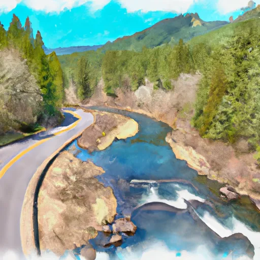
The ideal streamflow range for this river run is between 600 and 1500 cfs, with the best time to go being during the spring and early summer months. The river is rated as a Class III to IV, with some Class V sections in certain areas. The segment mileage for this run is approximately 11.5 miles, starting from Highway 22 and ending at the confluence with Rainbow Creek.
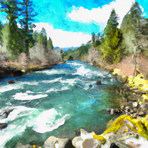
The Whitewater River has several notable rapids and obstacles, including "The Narrows," which is a tight, technical section with several drops and boulder gardens. "Staircase" is another challenging rapid that requires precise maneuvering to avoid the large boulders and hydraulics. Additionally, "Deadman's Drop" is a steep, powerful drop that requires a solid line to avoid getting caught in the hydraulic.
In terms of regulations, all boaters must have a valid Oregon Boater's Pass and be aware of any seasonal closures or restrictions in the area. It is also important to practice Leave No Trace principles and respect the natural environment while enjoying this beautiful river. Overall, the Whitewater River run Highway 22 to Confluence With Rainbow Creek is a thrilling and challenging adventure for experienced kayakers and rafters.
°F
°F
mph
Wind
%
Humidity
15-Day Weather Outlook
River Run Details
| Last Updated | 2026-02-07 |
| River Levels | 702 cfs (3.35 ft) |
| Percent of Normal | 62% |
| Status | |
| Class Level | iii-v |
| Elevation | ft |
| Streamflow Discharge | cfs |
| Gauge Height | ft |
| Reporting Streamgage | USGS 14178000 |
5-Day Hourly Forecast Detail
Nearby Streamflow Levels
 No Santiam R Blw Boulder Crk
|
855cfs |
 Blowout Creek Near Detroit
|
73cfs |
 Breitenbush R Abv French Cr Nr Detroit
|
492cfs |
 North Santiam River At Niagara
|
1040cfs |
 Schafer Creek Near Lacomb
|
5cfs |
 Shitike Cr
|
63cfs |
Area Campgrounds
| Location | Reservations | Toilets |
|---|---|---|
 Whispering Falls Campground
|
||
 Santiam Flats Campground
|
||
 Hoover Group Campsite
|
||
 Hoover Group Campground
|
||
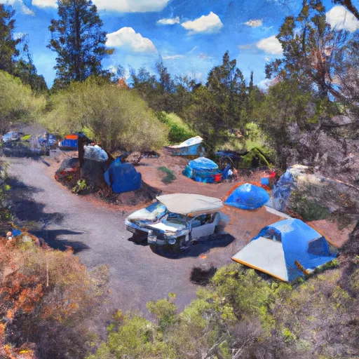 Hoover Campground
|
||
 Cove Creek Campground
|
River Runs
-
 Highway 22 To Confluence With Rainbow Creek
-
 Confluence With North Fork Breitenbush River To Detroit Reservoir
-
 Mt. Jefferson Wilderness Boundary To Confluence With Breitenbush River
-
 Russel Lake To Mt. Jefferson Wilderness Boundary
-
 Headwaters To Confluence With Unnamed Creek West Of Bruler Creek
-
 North Santiam River


 Hoover Campground
 Detroit Lake- Mongold Wayside
 Wilderness Bull of the Woods
 Wilderness Opal Creek
 Santiam State Forest