 Get More With Premium


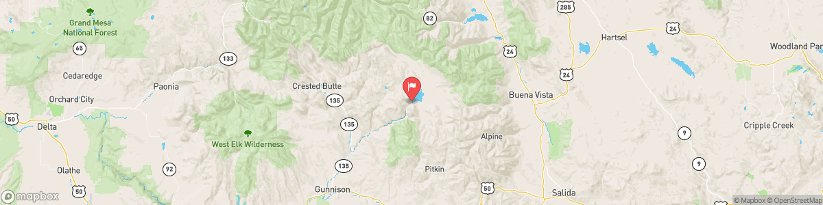
TAYLOR RIVER BELOW TAYLOR PARK RESERVOIR
USGS 09109000
WINTER WEATHER ADVISORY
* WHAT...Snow expected above 9500 feet. Total snow accumulations between 4 and 8 inches. Winds gusting as high as 35 mph. * WHERE...Elkhead and Park Mountains, Flat Tops, Gore and Elk Mountains/Central Mountain Valleys, Grand and Battlement Mesas, and West Elk and Sawatch Mountains. * WHEN...From 6 AM Wednesday to 6 AM MDT Thursday. * IMPACTS...Travel could become slippery at times due to slushy conditions over mountain passes.

Today, Rain likely, possibly mixed with snow showers, mainly after 3am. Some thunder is also possible. Mostly cloudy, with a low around 30. East southeast wind around 10 mph, with gusts as high as 20 mph. Chance of precipitation is 70%. Little or no snow accumulation expected.
Tomorrow, Rain likely, possibly mixed with snow showers, mainly after 3am. Some thunder is also possible. Mostly cloudy, with a low around 30. East southeast wind around 10 mph, with gusts as high as 20 mph. Chance of precipitation is 70%. Little or no snow accumulation expected.
5-Day Forecast
Long Term Forecast
16-Day Forecast

