Shady Lake Dam

Shady Lake
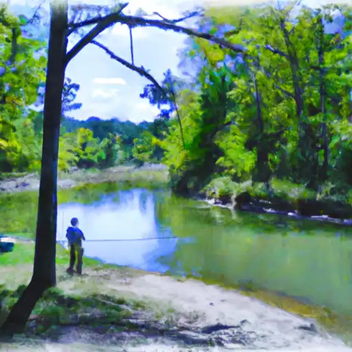
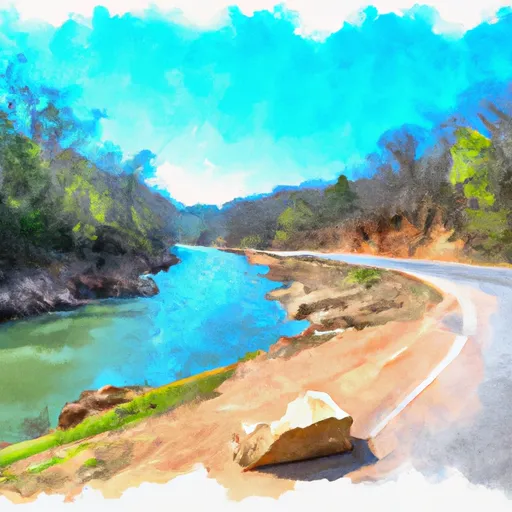
Shady Lake in Arkansas is a captivating water resource nestled in the heart of Polk County, offering a tranquil retreat for water and climate enthusiasts. Managed by the USDA Forest Service, this concrete dam structure was completed in 1937 for recreational purposes, including fishing and wildlife enjoyment. With a significant hazard potential and a moderate risk assessment rating, the dam on Shady Lake stands at 30 feet in height and boasts a storage capacity of 270 acre-feet, providing a vital resource for the local community.
Located along the Saline Creek in Athens, Shady Lake covers a drainage area of 10 square miles and is surrounded by stunning natural landscapes. The dam, with a structural height of 30 feet and a length of 163 feet, is equipped with an uncontrolled spillway to manage water flow. Despite being last inspected in 2014 and not yet condition-rated, Shady Lake remains a popular destination for outdoor enthusiasts seeking a peaceful escape in the midst of Arkansas's scenic beauty.
With its rich history dating back over eight decades, Shady Lake continues to be a beloved recreational spot for locals and visitors alike. As a Federal-owned property under the jurisdiction of the Forest Service, this serene lake offers a perfect blend of leisure and conservation. Whether you're interested in fishing, wildlife observation, or simply enjoying the tranquil waters, Shady Lake stands as a testament to the importance of preserving our natural resources for future generations to cherish and appreciate.
Plan around the weather
Same NOAA / yr.no feed Snoflo's iOS app uses. Watch the precipitation column on the meteogram -- rain on the basin upstream typically lifts inflow 24-72 hours later.
Next 5 days, hour by hour
Temperature line with weather symbols on top, snow + rain accumulation as columns, humidity as a dotted line.
5-day forecast table
Every 3 hours, broken out across temperature, snow, rain, humidity, and wind. Each cell is colour-coded relative to the column min/max.
| Time | Condition | Temp (°F) | Snow (in) | Rain (in) | Humidity (%) | Wind (mps) | Wind dir |
|---|---|---|---|---|---|---|---|
| Loading detailed forecast… | |||||||
15-day temperature & precipitation
Daily temperatures, snow, and rain projected over the next two weeks.
Nearby streamflow gauges
USGS streamgauges around Shady Lake -- inflows here typically show up in storage 24-72 hours later.
| Streamgauge | Discharge | View |
|---|---|---|
| Little Missouri River Near Langley | 7 cfs | → |
| Cossatot River Near Vandervoort | 9 cfs | → |
| Caddo River Near Caddo Gap | 25 cfs | → |
| Ouachita River Near Mount Ida | 11 cfs | → |
| Saline River Near Lockesburg | 27 cfs | → |
| Mountain Fork At Smithville | 20 cfs | → |
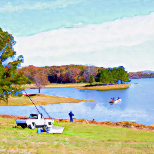
Make a day of it
Boat launches, lakeside camping, fishing access, and other reservoirs near Shady Lake.
Boat launches
See all →


Campgrounds
See all →


Fishing spots
See all →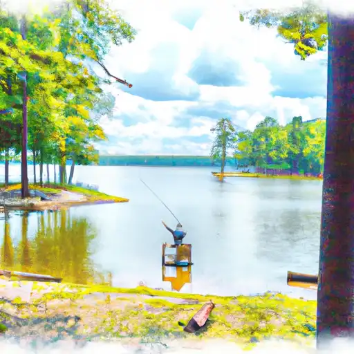


River runs
See all →


About Shady Lake
Where does the data for Shady Lake come from?
Structural and regulatory data come from the U.S. Army Corps of Engineers' National Inventory of Dams (NID). Weather forecast comes from NOAA / yr.no -- the same feed Snoflo's iOS app uses.
How often is the report updated?
NID structural data refreshes annually as the Corps publishes updated assessments. The weather forecast refreshes throughout the day.
What does the Significant hazard rating mean?
The Corps of Engineers' hazard potential classification grades probable consequences if the dam fails: High = probable loss of human life; Significant = no probable loss of human life but possible economic loss / environmental damage; Low = no probable loss of human life, only minor economic / environmental losses. See the Dam Data Reference card below for the full definitions.
What's "% of normal"?
The current storage value compared to the historical average storage on this calendar day. 100% = right on average; values above 100% mean above-normal storage (wet year); values below mean below-normal (dry year or drought).
Can I get alerts when storage crosses a threshold?
Yes -- alerts are managed in the Snoflo iOS app. Favorite this dam, set a threshold, and you'll get a push the moment conditions cross.
Dam data reference
Condition Assessment
- Satisfactory
- No existing or potential dam safety deficiencies are recognized. Acceptable performance is expected under all loading conditions (static, hydrologic, seismic) in accordance with the minimum applicable state or federal regulatory criteria or tolerable risk guidelines.
- Fair
- No existing dam safety deficiencies are recognized for normal operating conditions. Rare or extreme hydrologic and/or seismic events may result in a dam safety deficiency. Risk may be in the range to take further action.
- Poor
- A dam safety deficiency is recognized for normal operating conditions which may realistically occur. Remedial action is necessary. POOR may also be used when uncertainties exist as to critical analysis parameters which identify a potential dam safety deficiency.
- Unsatisfactory
- A dam safety deficiency is recognized that requires immediate or emergency remedial action for problem resolution.
- Not Rated
- The dam has not been inspected, is not under state or federal jurisdiction, or has been inspected but, for whatever reason, has not been rated.
Hazard Potential Classification
- High
- Dams assigned the high hazard potential classification are those where failure or mis-operation will probably cause loss of human life.
- Significant
- Dams assigned the significant hazard potential classification are those dams where failure or mis-operation results in no probable loss of human life but can cause economic loss, environmental damage, disruption of lifeline facilities, or impact other concerns. Significant hazard potential classification dams are often located in predominantly rural or agricultural areas but could be in areas with population and significant infrastructure.
- Low
- Dams assigned the low hazard potential classification are those where failure or mis-operation results in no probable loss of human life and low economic and/or environmental losses. Losses are principally limited to the owner's property.
- Undetermined
- Dams for which a downstream hazard potential has not been designated or is not provided.