Orwick Dam (blm) Dam

Orwick Dam (Blm)
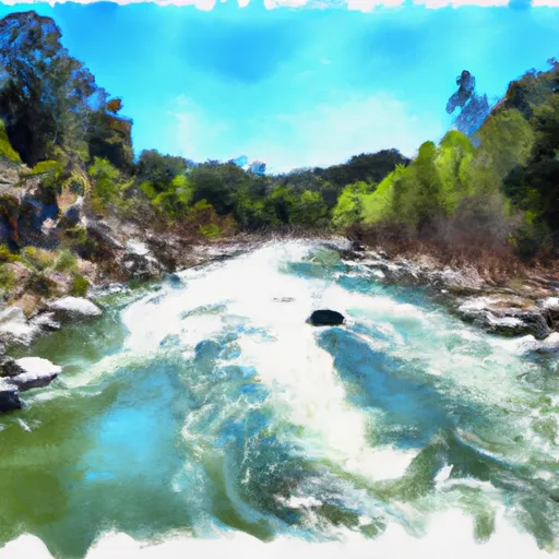
Orwick Dam, located in Tehama County, California, is a federally owned structure managed by the Bureau of Land Management. Built in 1950 for irrigation purposes, this dam stands 22 feet tall and spans 421 feet in length, providing a storage capacity of 88 acre-feet. With a low hazard potential and a condition assessment that is not currently rated, Orwick Dam plays a crucial role in managing water resources in the region.
Despite not being regulated by the state, Orwick Dam has undergone periodic inspections, with the last one conducted in 2011. The dam is designed to handle a maximum discharge of 1 cubic foot per second and has a surface area of 12 acres. While its emergency action plan status and risk assessment details are not specified, the dam's operational responsibility, funding, and construction fall under the purview of the Bureau of Land Management, indicating a commitment to maintaining its integrity and safety.
The presence of Orwick Dam underscores the importance of water resource management in California, particularly for irrigation purposes. As a key piece of infrastructure in the San Francisco District, this dam serves as a vital component of the regional water supply system. With its historical significance and ongoing role in supporting agricultural activities, Orwick Dam remains a focal point for water resource and climate enthusiasts seeking to understand the intersection of human infrastructure and natural ecosystems.
Plan around the weather
Same NOAA / yr.no feed Snoflo's iOS app uses. Watch the precipitation column on the meteogram -- rain on the basin upstream typically lifts inflow 24-72 hours later.
Next 5 days, hour by hour
Temperature line with weather symbols on top, snow + rain accumulation as columns, humidity as a dotted line.
5-day forecast table
Every 3 hours, broken out across temperature, snow, rain, humidity, and wind. Each cell is colour-coded relative to the column min/max.
| Time | Condition | Temp (°F) | Snow (in) | Rain (in) | Humidity (%) | Wind (mps) | Wind dir |
|---|---|---|---|---|---|---|---|
| Loading detailed forecast… | |||||||
15-day temperature & precipitation
Daily temperatures, snow, and rain projected over the next two weeks.
Nearby streamflow gauges
USGS streamgauges around Orwick Dam (Blm) -- inflows here typically show up in storage 24-72 hours later.
| Streamgauge | Discharge | View |
|---|---|---|
| Sacramento R Ab Bend Bridge Nr Red Bluff Ca | 13,500 cfs | → |
| Battle C Bl Coleman Fish Hatchery Nr Cottonwood Ca | 232 cfs | → |
| Cottonwood C Nr Cottonwood Ca | 43 cfs | → |
| Cow C Nr Millville Ca | 23 cfs | → |
| Anderson-Cottonwood Id Cn At Sharon St Redding Ca | 172 cfs | → |
| Mill C Nr Los Molinos Ca | 124 cfs | → |


About Orwick Dam (Blm)
Where does the data for Orwick Dam (blm) come from?
Structural and regulatory data come from the U.S. Army Corps of Engineers' National Inventory of Dams (NID). Weather forecast comes from NOAA / yr.no -- the same feed Snoflo's iOS app uses.
How often is the report updated?
NID structural data refreshes annually as the Corps publishes updated assessments. The weather forecast refreshes throughout the day.
What does the Low hazard rating mean?
The Corps of Engineers' hazard potential classification grades probable consequences if the dam fails: High = probable loss of human life; Significant = no probable loss of human life but possible economic loss / environmental damage; Low = no probable loss of human life, only minor economic / environmental losses. See the Dam Data Reference card below for the full definitions.
What's "% of normal"?
The current storage value compared to the historical average storage on this calendar day. 100% = right on average; values above 100% mean above-normal storage (wet year); values below mean below-normal (dry year or drought).
Can I get alerts when storage crosses a threshold?
Yes -- alerts are managed in the Snoflo iOS app. Favorite this dam, set a threshold, and you'll get a push the moment conditions cross.
Dam data reference
Condition Assessment
- Satisfactory
- No existing or potential dam safety deficiencies are recognized. Acceptable performance is expected under all loading conditions (static, hydrologic, seismic) in accordance with the minimum applicable state or federal regulatory criteria or tolerable risk guidelines.
- Fair
- No existing dam safety deficiencies are recognized for normal operating conditions. Rare or extreme hydrologic and/or seismic events may result in a dam safety deficiency. Risk may be in the range to take further action.
- Poor
- A dam safety deficiency is recognized for normal operating conditions which may realistically occur. Remedial action is necessary. POOR may also be used when uncertainties exist as to critical analysis parameters which identify a potential dam safety deficiency.
- Unsatisfactory
- A dam safety deficiency is recognized that requires immediate or emergency remedial action for problem resolution.
- Not Rated
- The dam has not been inspected, is not under state or federal jurisdiction, or has been inspected but, for whatever reason, has not been rated.
Hazard Potential Classification
- High
- Dams assigned the high hazard potential classification are those where failure or mis-operation will probably cause loss of human life.
- Significant
- Dams assigned the significant hazard potential classification are those dams where failure or mis-operation results in no probable loss of human life but can cause economic loss, environmental damage, disruption of lifeline facilities, or impact other concerns. Significant hazard potential classification dams are often located in predominantly rural or agricultural areas but could be in areas with population and significant infrastructure.
- Low
- Dams assigned the low hazard potential classification are those where failure or mis-operation results in no probable loss of human life and low economic and/or environmental losses. Losses are principally limited to the owner's property.
- Undetermined
- Dams for which a downstream hazard potential has not been designated or is not provided.