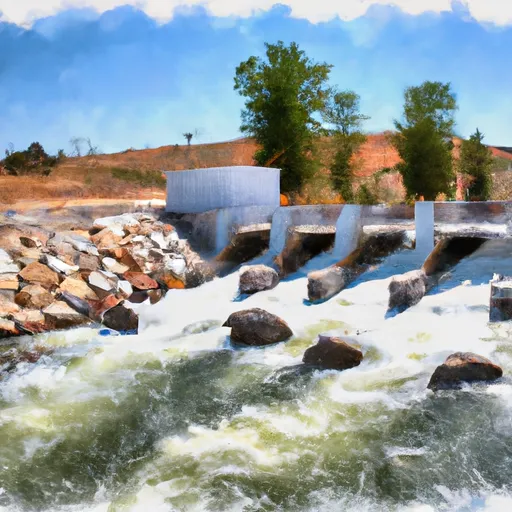
Tinemaha dam

Tinemaha
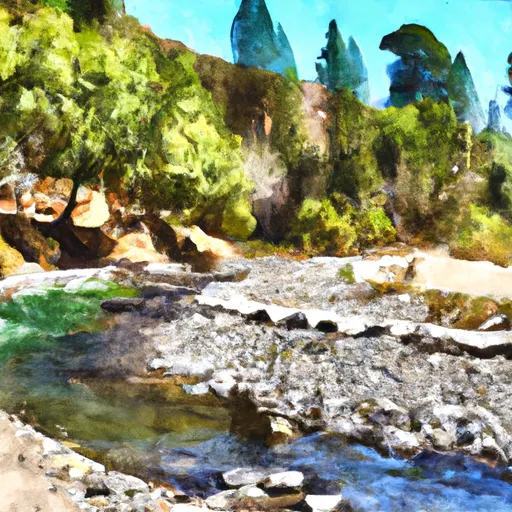
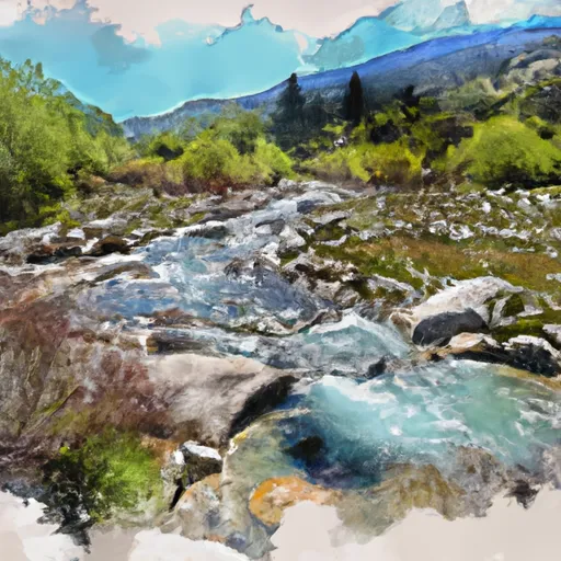
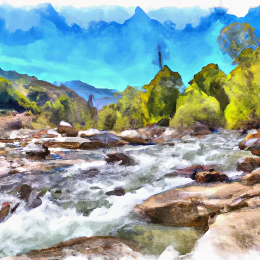
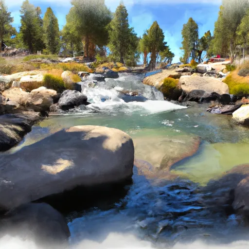
Tinemaha Reservoir, located in Aberdeen, California, along the Owens River, is a significant local government-owned hydroelectric facility completed in 1928. With a dam height of 32 feet and a storage capacity of 16,405 acre-feet, Tinemaha serves the primary purposes of hydroelectric power generation and water supply. Despite its age, the dam is regulated and inspected regularly by the California Department of Water Resources (DWR) to ensure its safety and compliance with state regulations.
The reservoir's poor condition assessment and high hazard potential underscore the need for ongoing maintenance and risk management measures. The last inspection conducted in July 2020 revealed areas of concern, prompting the authorities to review and update the emergency action plan (EAP) in December 2021. With its location in a high-risk area and the potential for inundation, the reservoir plays a critical role in water resource management and climate adaptation efforts in the region, necessitating continued monitoring and mitigation strategies to safeguard both the dam's integrity and surrounding communities.
As water resource and climate enthusiasts track the evolution of Tinemaha Reservoir, its historical significance and the challenges it faces underscore the importance of proactive maintenance and risk management in safeguarding critical infrastructure. With ongoing regulatory oversight and periodic inspections, stakeholders are working to address the dam's poor condition and high hazard potential, ensuring that Tinemaha continues to serve its vital functions in the face of changing environmental conditions and evolving water resource needs in California.
Plan around the weather
Same NOAA / yr.no feed Snoflo's iOS app uses. Watch the precipitation column on the meteogram -- rain on the basin upstream typically lifts inflow 24-72 hours later.
Next 5 days, hour by hour
Temperature line with weather symbols on top, snow + rain accumulation as columns, humidity as a dotted line.
5-day forecast table
Every 3 hours, broken out across temperature, snow, rain, humidity, and wind. Each cell is colour-coded relative to the column min/max.
| Time | Condition | Temp (°F) | Snow (in) | Rain (in) | Humidity (%) | Wind (mps) | Wind dir |
|---|---|---|---|---|---|---|---|
| Loading detailed forecast… | |||||||
15-day temperature & precipitation
Daily temperatures, snow, and rain projected over the next two weeks.
Nearby streamflow gauges
USGS streamgauges around Tinemaha -- inflows here typically show up in storage 24-72 hours later.
| Streamgauge | Discharge | View |
|---|---|---|
| Marble Fork Kaweah R Ab Horse C Nr Lodgepole Ca | 3 cfs | → |
| Hot C A Flume Nr Mammoth Lakes Ca | 49 cfs | → |


About Tinemaha
Where does the data for Tinemaha come from?
Structural and regulatory data come from the U.S. Army Corps of Engineers' National Inventory of Dams (NID). Weather forecast comes from NOAA / yr.no -- the same feed Snoflo's iOS app uses.
How often is the report updated?
NID structural data refreshes annually as the Corps publishes updated assessments. The weather forecast refreshes throughout the day.
What does the High hazard rating mean?
The Corps of Engineers' hazard potential classification grades probable consequences if the dam fails: High = probable loss of human life; Significant = no probable loss of human life but possible economic loss / environmental damage; Low = no probable loss of human life, only minor economic / environmental losses. See the Dam Data Reference card below for the full definitions.
What's "% of normal"?
The current storage value compared to the historical average storage on this calendar day. 100% = right on average; values above 100% mean above-normal storage (wet year); values below mean below-normal (dry year or drought).
Can I get alerts when storage crosses a threshold?
Yes -- alerts are managed in the Snoflo iOS app. Favorite this dam, set a threshold, and you'll get a push the moment conditions cross.
Dam data reference
Condition Assessment
- Satisfactory
- No existing or potential dam safety deficiencies are recognized. Acceptable performance is expected under all loading conditions (static, hydrologic, seismic) in accordance with the minimum applicable state or federal regulatory criteria or tolerable risk guidelines.
- Fair
- No existing dam safety deficiencies are recognized for normal operating conditions. Rare or extreme hydrologic and/or seismic events may result in a dam safety deficiency. Risk may be in the range to take further action.
- Poor
- A dam safety deficiency is recognized for normal operating conditions which may realistically occur. Remedial action is necessary. POOR may also be used when uncertainties exist as to critical analysis parameters which identify a potential dam safety deficiency.
- Unsatisfactory
- A dam safety deficiency is recognized that requires immediate or emergency remedial action for problem resolution.
- Not Rated
- The dam has not been inspected, is not under state or federal jurisdiction, or has been inspected but, for whatever reason, has not been rated.
Hazard Potential Classification
- High
- Dams assigned the high hazard potential classification are those where failure or mis-operation will probably cause loss of human life.
- Significant
- Dams assigned the significant hazard potential classification are those dams where failure or mis-operation results in no probable loss of human life but can cause economic loss, environmental damage, disruption of lifeline facilities, or impact other concerns. Significant hazard potential classification dams are often located in predominantly rural or agricultural areas but could be in areas with population and significant infrastructure.
- Low
- Dams assigned the low hazard potential classification are those where failure or mis-operation results in no probable loss of human life and low economic and/or environmental losses. Losses are principally limited to the owner's property.
- Undetermined
- Dams for which a downstream hazard potential has not been designated or is not provided.