Chatfield Dam Reservoir Report
Last Updated: February 20, 2026
Chatfield Dam, also known as Chatfield Lake, is a Federal-owned structure located in Denver, Colorado, along the South Platte River.
Summary
Completed in 1973, this Earth-type dam serves primarily for flood risk reduction but also supports irrigation and recreational activities. With a structural height of 148 feet and a maximum storage capacity of 355,000 acre-feet, the dam plays a crucial role in managing water resources in the region.
Despite its importance in flood control, the US Army Corps of Engineers (USACE) has identified Chatfield Dam as having a high hazard potential due to the risk of overtopping and damage to the spillway during extreme flood events. Should a breach occur, downstream communities could face catastrophic flooding with significant impacts on property, infrastructure, and the economy. The USACE Dam Safety Program implements ongoing risk management measures to enhance the dam's safety and monitors potential threats to reduce the risk posed by the dam.
To ensure public safety, USACE encourages communities downstream of Chatfield Dam to stay informed about flood forecasts, evacuation plans, and emergency actions. By building awareness and taking proactive steps, the risk associated with the dam can be minimized, and the potential impact of a dam failure can be mitigated. Visit the USACE Dam Safety Program website for more information on risk assessments and safety measures in place for Chatfield Dam.
°F
°F
mph
Wind
%
Humidity
15-Day Weather Outlook
Year Completed |
1973 |
Dam Length |
13136 |
River Or Stream |
SOUTH PLATTE RIVER |
Primary Dam Type |
Earth |
Surface Area |
1150 |
Hydraulic Height |
124 |
Drainage Area |
3018 |
Nid Storage |
355000 |
Structural Height |
148 |
Outlet Gates |
Uncontrolled - 0, Vertical Lift - 0 |
Hazard Potential |
High |
Foundations |
Rock, Soil |
Nid Height |
148 |
Seasonal Comparison
5-Day Hourly Forecast Detail
Nearby Streamflow Levels
Dam Data Reference
Condition Assessment
SatisfactoryNo existing or potential dam safety deficiencies are recognized. Acceptable performance is expected under all loading conditions (static, hydrologic, seismic) in accordance with the minimum applicable state or federal regulatory criteria or tolerable risk guidelines.
Fair
No existing dam safety deficiencies are recognized for normal operating conditions. Rare or extreme hydrologic and/or seismic events may result in a dam safety deficiency. Risk may be in the range to take further action. Note: Rare or extreme event is defined by the regulatory agency based on their minimum
Poor A dam safety deficiency is recognized for normal operating conditions which may realistically occur. Remedial action is necessary. POOR may also be used when uncertainties exist as to critical analysis parameters which identify a potential dam safety deficiency. Investigations and studies are necessary.
Unsatisfactory
A dam safety deficiency is recognized that requires immediate or emergency remedial action for problem resolution.
Not Rated
The dam has not been inspected, is not under state or federal jurisdiction, or has been inspected but, for whatever reason, has not been rated.
Not Available
Dams for which the condition assessment is restricted to approved government users.
Hazard Potential Classification
HighDams assigned the high hazard potential classification are those where failure or mis-operation will probably cause loss of human life.
Significant
Dams assigned the significant hazard potential classification are those dams where failure or mis-operation results in no probable loss of human life but can cause economic loss, environment damage, disruption of lifeline facilities, or impact other concerns. Significant hazard potential classification dams are often located in predominantly rural or agricultural areas but could be in areas with population and significant infrastructure.
Low
Dams assigned the low hazard potential classification are those where failure or mis-operation results in no probable loss of human life and low economic and/or environmental losses. Losses are principally limited to the owner's property.
Undetermined
Dams for which a downstream hazard potential has not been designated or is not provided.
Not Available
Dams for which the downstream hazard potential is restricted to approved government users.
Area Campgrounds
| Location | Reservations | Toilets |
|---|---|---|
 Chatfield State Park
|
||
 Bear Creek Lake Park
|
||
 Idylease Campground
|
||
 Indian Creek
|

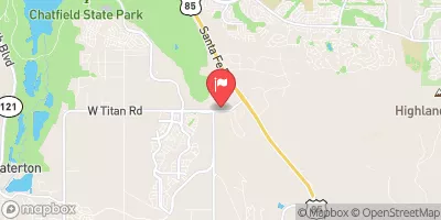
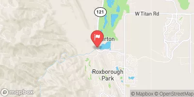
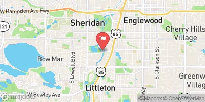
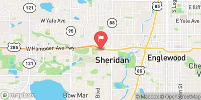
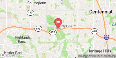
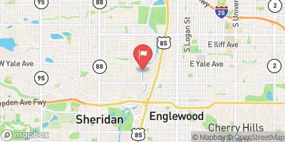
 Chatfield Dam
 Chatfield Lake North Boat Ramp
 Idledale to Morrison
 Cliffdale To Confluence With South Platte
 Wigman Club To Strontia Reservoir
 Chatfield Reservoir
 South Platte Park Ponds (Littleton Flood Plain Ponds)
 Eaglewatch Lake
 Redtail Lake
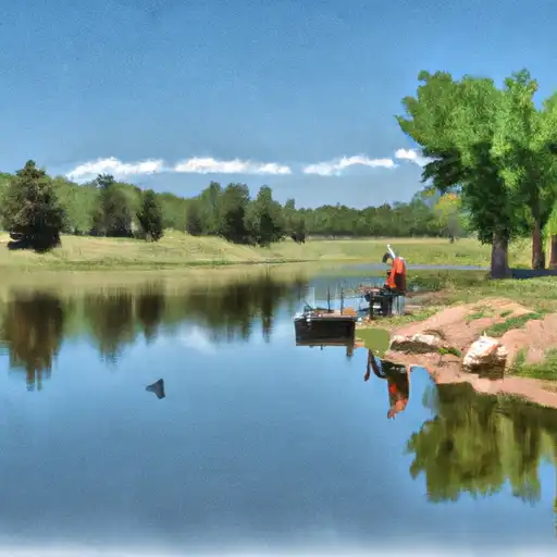 Redstone Park Pond