
Blue Mesa Reservoir Report
Nearby: Lake Arrowhead Morrow Point
Last Updated: January 11, 2026
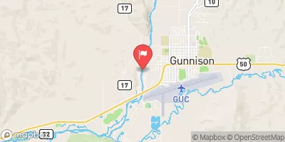
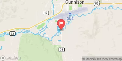
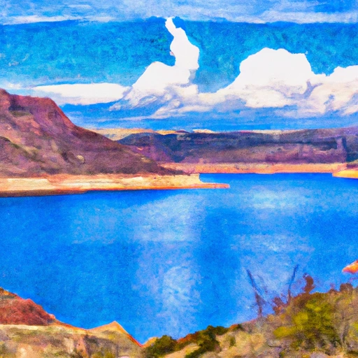
Blue Mesa is a significant water resource located in Gunnison, Colorado, managed by the Bureau of Reclamation for flood risk reduction, hydroelectric power generation, irrigation, and recreation.
°F
°F
mph
Wind
%
Humidity
Summary
The dam, completed in 1965, is an earth-filled structure standing at 390 feet high and spanning 785 feet in length. It has a storage capacity of 940,700 acre-feet and covers an impressive surface area of 9,180 acres, drawing water from the Gunnison River.
With a high hazard potential and a very high risk assessment rating, Blue Mesa Dam is carefully regulated and inspected by the Bureau of Reclamation to ensure its structural integrity and safety. The dam boasts a controlled spillway with a width of 50 feet and multiple outlet gates for effective water management. The surrounding area offers a range of recreational activities, making it a popular destination for water and climate enthusiasts alike.
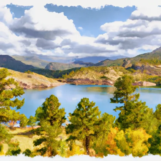
Visitors to Blue Mesa can appreciate the engineering marvel of the dam while enjoying the natural beauty of the Gunnison River and the expansive reservoir it creates. As a vital component of Colorado's water infrastructure, Blue Mesa serves multiple purposes while contributing to the region's water supply, energy generation, and agricultural needs.
Year Completed |
1965 |
Dam Length |
785 |
Dam Height |
390 |
River Or Stream |
GUNNISON RIVER |
Primary Dam Type |
Earth |
Surface Area |
9180 |
Hydraulic Height |
342 |
Drainage Area |
3470 |
Nid Storage |
940700 |
Structural Height |
390 |
Outlet Gates |
Roller, Tainter (radial), Vertical Lift |
Hazard Potential |
High |
Foundations |
Rock |
Nid Height |
390 |
Seasonal Comparison
Weather Forecast
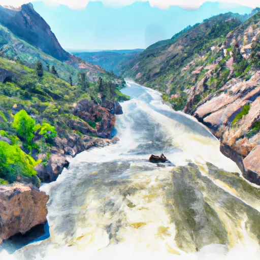
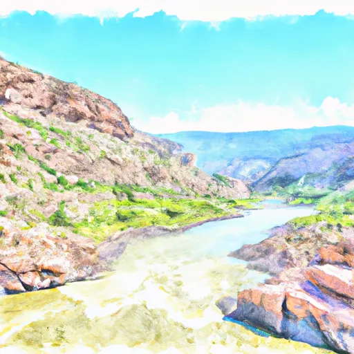
Nearby Streamflow Levels
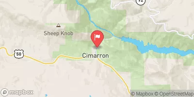 Cimarron River Bl Squaw Creek
|
41cfs |
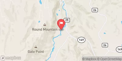 Lake Fork At Gateview
|
100cfs |
 Cimarron River Near Cimarron
|
22cfs |
 Gunnison River Below Gunnison Tunnel
|
352cfs |
 Gunnison River Near Gunnison
|
229cfs |
 Tomichi Creek At Gunnison
|
99cfs |
Dam Data Reference
Condition Assessment
SatisfactoryNo existing or potential dam safety deficiencies are recognized. Acceptable performance is expected under all loading conditions (static, hydrologic, seismic) in accordance with the minimum applicable state or federal regulatory criteria or tolerable risk guidelines.
Fair
No existing dam safety deficiencies are recognized for normal operating conditions. Rare or extreme hydrologic and/or seismic events may result in a dam safety deficiency. Risk may be in the range to take further action. Note: Rare or extreme event is defined by the regulatory agency based on their minimum
Poor A dam safety deficiency is recognized for normal operating conditions which may realistically occur. Remedial action is necessary. POOR may also be used when uncertainties exist as to critical analysis parameters which identify a potential dam safety deficiency. Investigations and studies are necessary.
Unsatisfactory
A dam safety deficiency is recognized that requires immediate or emergency remedial action for problem resolution.
Not Rated
The dam has not been inspected, is not under state or federal jurisdiction, or has been inspected but, for whatever reason, has not been rated.
Not Available
Dams for which the condition assessment is restricted to approved government users.
Hazard Potential Classification
HighDams assigned the high hazard potential classification are those where failure or mis-operation will probably cause loss of human life.
Significant
Dams assigned the significant hazard potential classification are those dams where failure or mis-operation results in no probable loss of human life but can cause economic loss, environment damage, disruption of lifeline facilities, or impact other concerns. Significant hazard potential classification dams are often located in predominantly rural or agricultural areas but could be in areas with population and significant infrastructure.
Low
Dams assigned the low hazard potential classification are those where failure or mis-operation results in no probable loss of human life and low economic and/or environmental losses. Losses are principally limited to the owner's property.
Undetermined
Dams for which a downstream hazard potential has not been designated or is not provided.
Not Available
Dams for which the downstream hazard potential is restricted to approved government users.
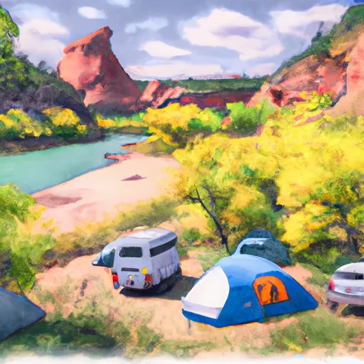
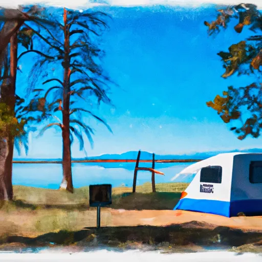
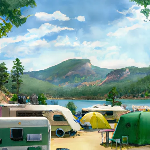
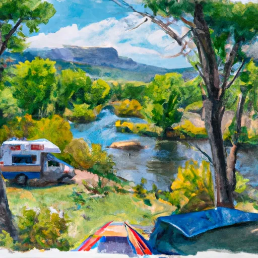
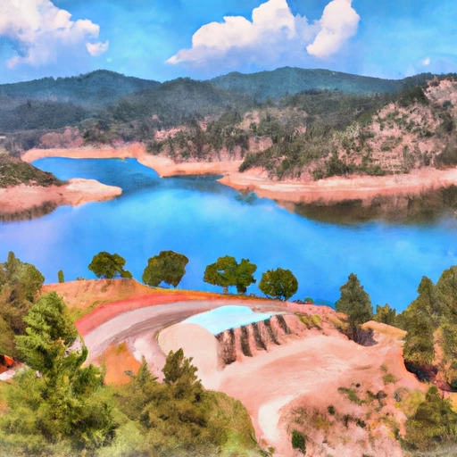
Area Campgrounds
| Location | Reservations | Toilets |
|---|---|---|
 Lake Fork - Curecanti Area
|
||
 Narrows Boat-In Campsite
|
||
 Lake Fork Arm
|
||
 Lake Fork Arm Boat-In Campsite
|
||
 Blue Creek Boat-In Campsite
|
||
 Curecanti Creek
|
 Blue Mesa
 Blue Mesa Reservoir
 Morrow Point Reservoir
 US 50 Sapinero
 Curecanti National Recreation Area Boundary To High Water Line Of Morrow Point Reservoir
 Curecanti National Recreation Area Boundary To High Water Line Of Blue Mesa Reservoir