


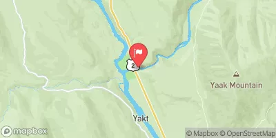
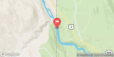
Little Blue Dam Reservoir Report
Last Updated: May 3, 2026
Nearby: Cabinet Gorge Noxon Rapids
°F
°F
mph
Wind
%
Humidity
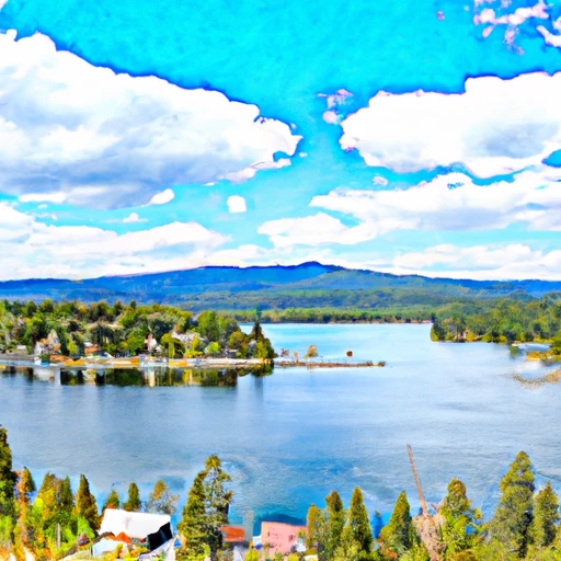
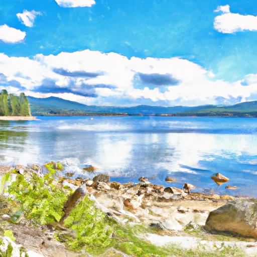
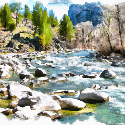
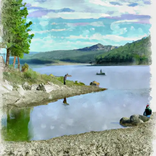
Little Blue Dam, located in Sanders County, Montana, is a state-regulated earth dam built in 1954 across Blue Creek.
Summary
With a height of 95 feet and a length of 300 feet, this dam serves a primary purpose that falls under the "Other" category. It has a storage capacity of 2,445 acre-feet and is managed by the Montana Department of Natural Resources and Conservation (DNRC).
Despite being classified as having a low hazard potential and not yet rated for its condition, Little Blue Dam plays a crucial role in water resource management in the region. The dam, situated in the city of Heron, ensures a stable water supply for various uses while also contributing to flood control and recreation opportunities. With its state jurisdiction, regulatory oversight by the DNRC, and regular inspections, the dam is operated with safety and environmental considerations in mind.
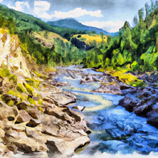
Water and climate enthusiasts intrigued by infrastructure like Little Blue Dam will appreciate its role in balancing water resources and environmental protection. The dam's history, engineering design, and management practices offer valuable insights into sustainable water management practices in the face of changing climatic conditions. As an integral part of the local watershed, Little Blue Dam stands as a testament to responsible dam construction and operation in Montana.
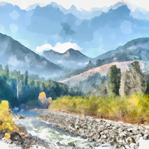
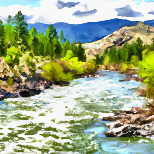
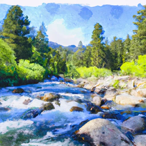
Regional Streamflow Levels
 Clark Fork River Below Cabinet Gorge Dam Id
|
39300cfs |
 Lightning Creek At Clark Fork Id
|
1140cfs |
 Nf Coeur D Alene R Ab Shoshone Ck Nr Prichard Id
|
613cfs |
 Pack River Nr Colburn Id
|
610cfs |
 Yaak River Near Troy Mt
|
2000cfs |
 Kootenai River At Leonia Id
|
17900cfs |
15-Day Long Term Forecast
Year Completed |
1954 |
Dam Length |
300 |
Dam Height |
95 |
River Or Stream |
BLUE CREEK |
Primary Dam Type |
Earth |
Hydraulic Height |
95 |
Nid Storage |
2445 |
Hazard Potential |
Low |
Nid Height |
95 |
Seasonal Comparison
5-Day Hourly Forecast Detail
Dam Data Reference
Condition Assessment
SatisfactoryNo existing or potential dam safety deficiencies are recognized. Acceptable performance is expected under all loading conditions (static, hydrologic, seismic) in accordance with the minimum applicable state or federal regulatory criteria or tolerable risk guidelines.
Fair
No existing dam safety deficiencies are recognized for normal operating conditions. Rare or extreme hydrologic and/or seismic events may result in a dam safety deficiency. Risk may be in the range to take further action. Note: Rare or extreme event is defined by the regulatory agency based on their minimum
Poor A dam safety deficiency is recognized for normal operating conditions which may realistically occur. Remedial action is necessary. POOR may also be used when uncertainties exist as to critical analysis parameters which identify a potential dam safety deficiency. Investigations and studies are necessary.
Unsatisfactory
A dam safety deficiency is recognized that requires immediate or emergency remedial action for problem resolution.
Not Rated
The dam has not been inspected, is not under state or federal jurisdiction, or has been inspected but, for whatever reason, has not been rated.
Not Available
Dams for which the condition assessment is restricted to approved government users.
Hazard Potential Classification
HighDams assigned the high hazard potential classification are those where failure or mis-operation will probably cause loss of human life.
Significant
Dams assigned the significant hazard potential classification are those dams where failure or mis-operation results in no probable loss of human life but can cause economic loss, environment damage, disruption of lifeline facilities, or impact other concerns. Significant hazard potential classification dams are often located in predominantly rural or agricultural areas but could be in areas with population and significant infrastructure.
Low
Dams assigned the low hazard potential classification are those where failure or mis-operation results in no probable loss of human life and low economic and/or environmental losses. Losses are principally limited to the owner's property.
Undetermined
Dams for which a downstream hazard potential has not been designated or is not provided.
Not Available
Dams for which the downstream hazard potential is restricted to approved government users.
Area Campgrounds
| Location | Reservations | Toilets |
|---|---|---|
 Big Eddy Campground
|
||
 Big Eddy
|
||
 River Lake RV Resort
|
||
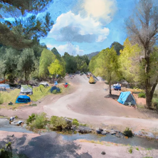 Bull River Campground
|
||
 Bull River
|
||
 Bull River Campground and Group Site
|
 Coeur D Alene Lake At Coeur D Alene Id
 Priest Lake At Outlet Nr Coolin Id
 Derr Island Road 311, Bonner County
River Runs
-
 Boundary Proposed Addition Cabinet Mtns Wilderness, Sec. To Cabinet Gorge Reservoir
-
 Cabinet Mtns Wilderness Boundary, Sec. 3, T27N, R32W To Bull River, Sec. 12, T27N, R33W
-
 East Fork Bull River, Headwaters, Sec. 13, T27N, R32W To Cabinet Mountains Wilderness Boundary, Sec. 3, T27N, R32W
-
 Middle Fork Bull River, Sec. 9, T28N, R33W To Proposed Addition To Cabinet Mtns Wilderness, Sec. 12, T28N, R33W
-
 North Fork Bull River, Sec. 32, T29N, R32W To Proposed Cabinet Mtns Wilderness Boundary, Sec. 1, T28N, R32W
-
 9 Miles From Quartz Creek To Surprise Gulch,Two Miles Below Kootenai Falls To 9 Miles From Quartz Creek To Surprise Gulch,Two Miles Below Kootenai Falls
 Bull Lake
 Baree Lake
 Alvord Lake