Cecrle #1 Dam

Cecrle #1 Dam
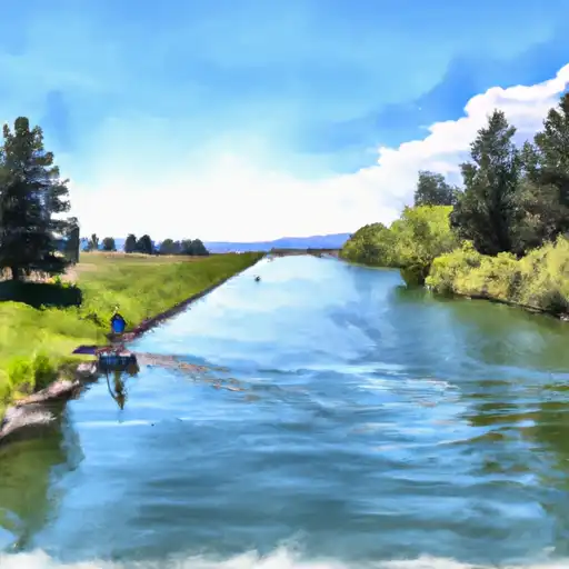
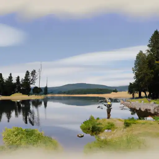
Cecrle #1 Dam, located in Judith Basin, Montana, was completed in 1960 by the USDA NRCS and is primarily used for fire protection, stock, and as a small fish pond. The earth dam stands at a height of 30 feet with a length of 150 feet, providing a storage capacity of 59 acre-feet. The dam is regulated by the DNRC and is inspected, permitted, and enforced by the state, ensuring its safety and compliance with regulations.
With a low hazard potential and a condition assessment of "Not Rated," Cecrle #1 Dam serves as a vital resource for the surrounding area's water management and conservation efforts. The dam's spillway width of 50 feet and maximum discharge capacity of 300 cfs further highlight its importance in controlling water flow and ensuring the safety of the downstream areas. Although it has not been rated for its condition, the dam's regular inspections and state oversight help mitigate potential risks.
As a private-owned structure, Cecrle #1 Dam plays a crucial role in supporting the community's water needs and environmental sustainability. Its location on TR-Judith River highlights its significance in water resource management and climate resilience efforts in the region. With its completion nearly six decades ago, the dam continues to serve its intended purposes while being subject to state jurisdiction and regulation to uphold safety standards and protect the surrounding ecosystem.
Plan around the weather
Same NOAA / yr.no feed Snoflo's iOS app uses. Watch the precipitation column on the meteogram -- rain on the basin upstream typically lifts inflow 24-72 hours later.
Next 5 days, hour by hour
Temperature line with weather symbols on top, snow + rain accumulation as columns, humidity as a dotted line.
5-day forecast table
Every 3 hours, broken out across temperature, snow, rain, humidity, and wind. Each cell is colour-coded relative to the column min/max.
| Time | Condition | Temp (°F) | Snow (in) | Rain (in) | Humidity (%) | Wind (mps) | Wind dir |
|---|---|---|---|---|---|---|---|
| Loading detailed forecast… | |||||||
15-day temperature & precipitation
Daily temperatures, snow, and rain projected over the next two weeks.
Nearby streamflow gauges
USGS streamgauges around Cecrle #1 Dam -- inflows here typically show up in storage 24-72 hours later.
| Streamgauge | Discharge | View |
|---|---|---|
| Judith River Nr Mouth | 238 cfs | → |
| Musselshell River At Harlowton Mt | 34 cfs | → |
| Musselshell River Nr Martinsdale | 24 cfs | → |
| South Fork Musselshell R Ab Martinsdale Mt | 43 cfs | → |
| Musselshell River Ab Mud Cr Nr Shawmut Mt | 41 cfs | → |
| Belt Creek Near Monarch Mt | 119 cfs | → |


About Cecrle #1 Dam
Where does the data for Cecrle #1 Dam come from?
Structural and regulatory data come from the U.S. Army Corps of Engineers' National Inventory of Dams (NID). Weather forecast comes from NOAA / yr.no -- the same feed Snoflo's iOS app uses.
How often is the report updated?
NID structural data refreshes annually as the Corps publishes updated assessments. The weather forecast refreshes throughout the day.
What does the Low hazard rating mean?
The Corps of Engineers' hazard potential classification grades probable consequences if the dam fails: High = probable loss of human life; Significant = no probable loss of human life but possible economic loss / environmental damage; Low = no probable loss of human life, only minor economic / environmental losses. See the Dam Data Reference card below for the full definitions.
What's "% of normal"?
The current storage value compared to the historical average storage on this calendar day. 100% = right on average; values above 100% mean above-normal storage (wet year); values below mean below-normal (dry year or drought).
Can I get alerts when storage crosses a threshold?
Yes -- alerts are managed in the Snoflo iOS app. Favorite this dam, set a threshold, and you'll get a push the moment conditions cross.
Dam data reference
Condition Assessment
- Satisfactory
- No existing or potential dam safety deficiencies are recognized. Acceptable performance is expected under all loading conditions (static, hydrologic, seismic) in accordance with the minimum applicable state or federal regulatory criteria or tolerable risk guidelines.
- Fair
- No existing dam safety deficiencies are recognized for normal operating conditions. Rare or extreme hydrologic and/or seismic events may result in a dam safety deficiency. Risk may be in the range to take further action.
- Poor
- A dam safety deficiency is recognized for normal operating conditions which may realistically occur. Remedial action is necessary. POOR may also be used when uncertainties exist as to critical analysis parameters which identify a potential dam safety deficiency.
- Unsatisfactory
- A dam safety deficiency is recognized that requires immediate or emergency remedial action for problem resolution.
- Not Rated
- The dam has not been inspected, is not under state or federal jurisdiction, or has been inspected but, for whatever reason, has not been rated.
Hazard Potential Classification
- High
- Dams assigned the high hazard potential classification are those where failure or mis-operation will probably cause loss of human life.
- Significant
- Dams assigned the significant hazard potential classification are those dams where failure or mis-operation results in no probable loss of human life but can cause economic loss, environmental damage, disruption of lifeline facilities, or impact other concerns. Significant hazard potential classification dams are often located in predominantly rural or agricultural areas but could be in areas with population and significant infrastructure.
- Low
- Dams assigned the low hazard potential classification are those where failure or mis-operation results in no probable loss of human life and low economic and/or environmental losses. Losses are principally limited to the owner's property.
- Undetermined
- Dams for which a downstream hazard potential has not been designated or is not provided.