Neuman #2 Dam

Neuman #2
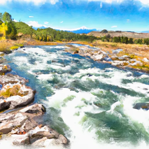
Neuman #2 is a private dam located in Cascade County, Montana, near the city of Vaughn. Built in 1930, the dam serves multiple purposes including fire protection, stock, and small fish pond. It has a height of 25 feet and a storage capacity of 67 acre-feet, with a normal storage level of 43 acre-feet. The dam is situated on TR-Muddy Creek and is regulated by the Montana Department of Natural Resources and Conservation (DNRC).
Despite being classified as having a low hazard potential, the condition of Neuman #2 has not been formally assessed. The dam, constructed of earth materials, spans 250 feet in length and stands at a structural height of 25 feet. While it has not been modified in recent years, the dam does have state-regulated permits for operation, inspection, and enforcement. It falls under the jurisdiction of the Walla Walla District of the US Army Corps of Engineers and is represented by Congressman Greg Gianforte.
Water resource and climate enthusiasts would find Neuman #2 an intriguing site for its historical significance and multifunctional use. The dam's proximity to Vaughn and location on TR-Muddy Creek make it a valuable asset for fire protection and water storage in the region. With its low hazard potential and state-regulated oversight, Neuman #2 stands as a testament to early 20th-century engineering practices and continues to play a vital role in managing water resources in Montana.
Plan around the weather
Same NOAA / yr.no feed Snoflo's iOS app uses. Watch the precipitation column on the meteogram -- rain on the basin upstream typically lifts inflow 24-72 hours later.
Next 5 days, hour by hour
Temperature line with weather symbols on top, snow + rain accumulation as columns, humidity as a dotted line.
5-day forecast table
Every 3 hours, broken out across temperature, snow, rain, humidity, and wind. Each cell is colour-coded relative to the column min/max.
| Time | Condition | Temp (°F) | Snow (in) | Rain (in) | Humidity (%) | Wind (mps) | Wind dir |
|---|---|---|---|---|---|---|---|
| Loading detailed forecast… | |||||||
15-day temperature & precipitation
Daily temperatures, snow, and rain projected over the next two weeks.
Nearby streamflow gauges
USGS streamgauges around Neuman #2 -- inflows here typically show up in storage 24-72 hours later.
| Streamgauge | Discharge | View |
|---|---|---|
| Muddy Creek At Vaughn Mt | 253 cfs | → |
| Sun River Near Vaughn Mt | 641 cfs | → |
| Lake Creek Near Power Mt | 30 cfs | → |
| Missouri River Near Ulm Mt | 3,320 cfs | → |
| Sun River At Simms Mt | 95 cfs | → |
| Teton River Near Dutton Mt | 83 cfs | → |


About Neuman #2
Where does the data for Neuman #2 come from?
Structural and regulatory data come from the U.S. Army Corps of Engineers' National Inventory of Dams (NID). Weather forecast comes from NOAA / yr.no -- the same feed Snoflo's iOS app uses.
How often is the report updated?
NID structural data refreshes annually as the Corps publishes updated assessments. The weather forecast refreshes throughout the day.
What does the Low hazard rating mean?
The Corps of Engineers' hazard potential classification grades probable consequences if the dam fails: High = probable loss of human life; Significant = no probable loss of human life but possible economic loss / environmental damage; Low = no probable loss of human life, only minor economic / environmental losses. See the Dam Data Reference card below for the full definitions.
What's "% of normal"?
The current storage value compared to the historical average storage on this calendar day. 100% = right on average; values above 100% mean above-normal storage (wet year); values below mean below-normal (dry year or drought).
Can I get alerts when storage crosses a threshold?
Yes -- alerts are managed in the Snoflo iOS app. Favorite this dam, set a threshold, and you'll get a push the moment conditions cross.
Dam data reference
Condition Assessment
- Satisfactory
- No existing or potential dam safety deficiencies are recognized. Acceptable performance is expected under all loading conditions (static, hydrologic, seismic) in accordance with the minimum applicable state or federal regulatory criteria or tolerable risk guidelines.
- Fair
- No existing dam safety deficiencies are recognized for normal operating conditions. Rare or extreme hydrologic and/or seismic events may result in a dam safety deficiency. Risk may be in the range to take further action.
- Poor
- A dam safety deficiency is recognized for normal operating conditions which may realistically occur. Remedial action is necessary. POOR may also be used when uncertainties exist as to critical analysis parameters which identify a potential dam safety deficiency.
- Unsatisfactory
- A dam safety deficiency is recognized that requires immediate or emergency remedial action for problem resolution.
- Not Rated
- The dam has not been inspected, is not under state or federal jurisdiction, or has been inspected but, for whatever reason, has not been rated.
Hazard Potential Classification
- High
- Dams assigned the high hazard potential classification are those where failure or mis-operation will probably cause loss of human life.
- Significant
- Dams assigned the significant hazard potential classification are those dams where failure or mis-operation results in no probable loss of human life but can cause economic loss, environmental damage, disruption of lifeline facilities, or impact other concerns. Significant hazard potential classification dams are often located in predominantly rural or agricultural areas but could be in areas with population and significant infrastructure.
- Low
- Dams assigned the low hazard potential classification are those where failure or mis-operation results in no probable loss of human life and low economic and/or environmental losses. Losses are principally limited to the owner's property.
- Undetermined
- Dams for which a downstream hazard potential has not been designated or is not provided.