Wickiup East Dike Dam

Wickiup East Dike
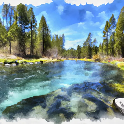
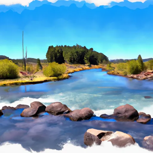
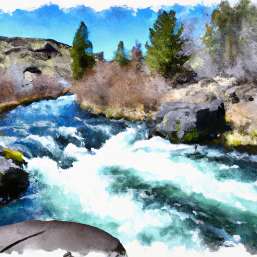
Wickiup East Dike, located in Pringle Falls, Oregon, is a Federal-owned structure designed by the Bureau of Reclamation with a primary purpose of serving as a Fish and Wildlife Pond. Completed in 1949, this Earth-type dam stands at a height of 29 feet and spans a length of 3420 feet, with a maximum storage capacity of 202,170 acre-feet. Situated on the Deschutes River, this dam also caters to irrigation and recreation needs, covering a surface area of 11,330 acres and draining an area of 482 square miles.
With a high hazard potential and a moderate risk assessment score, Wickiup East Dike features an uncontrolled spillway with a width of 400 feet, capable of discharging up to 5000 cubic feet per second. Although detailed condition assessment data is not available, the dam is inspected annually by the Bureau of Reclamation to ensure its structural integrity and safety. The Emergency Action Plan (EAP) for Wickiup East Dike was last revised in June 2020, indicating proactive measures in place to address any potential emergencies or risks associated with the dam.
Overall, Wickiup East Dike plays a crucial role in water resource management and conservation efforts in the region, providing essential habitat for fish and wildlife while also supporting agricultural irrigation and recreational activities. As a key component of the Bureau of Reclamation's operations, this dam underscores the importance of sustainable water management practices and the need for ongoing monitoring and maintenance to safeguard against potential hazards and ensure the safety of surrounding communities and ecosystems.
Plan around the weather
Same NOAA / yr.no feed Snoflo's iOS app uses. Watch the precipitation column on the meteogram -- rain on the basin upstream typically lifts inflow 24-72 hours later.
Next 5 days, hour by hour
Temperature line with weather symbols on top, snow + rain accumulation as columns, humidity as a dotted line.
5-day forecast table
Every 3 hours, broken out across temperature, snow, rain, humidity, and wind. Each cell is colour-coded relative to the column min/max.
| Time | Condition | Temp (°F) | Snow (in) | Rain (in) | Humidity (%) | Wind (mps) | Wind dir |
|---|---|---|---|---|---|---|---|
| Loading detailed forecast… | |||||||
15-day temperature & precipitation
Daily temperatures, snow, and rain projected over the next two weeks.
Nearby streamflow gauges
USGS streamgauges around Wickiup East Dike -- inflows here typically show up in storage 24-72 hours later.
| Streamgauge | Discharge | View |
|---|---|---|
| N.Umpqua R Abv White Mule Ck | 89 cfs | → |
| North Umpqua R Bl Lemolo Lk Nr T Falls | 87 cfs | → |
| N.Umpqua R Blw Warm Springs Ck Nr Toketee Falls | 89 cfs | → |
| So Fk Mckenzie River Abv Cougar Lake Nr Rainbow Or | 207 cfs | → |
| M F Willamette R Ab Salt Cr. | 556 cfs | → |
| Lake Creek Near Diamond | 113 cfs | → |


About Wickiup East Dike
Where does the data for Wickiup East Dike come from?
Structural and regulatory data come from the U.S. Army Corps of Engineers' National Inventory of Dams (NID). Weather forecast comes from NOAA / yr.no -- the same feed Snoflo's iOS app uses.
How often is the report updated?
NID structural data refreshes annually as the Corps publishes updated assessments. The weather forecast refreshes throughout the day.
What does the High hazard rating mean?
The Corps of Engineers' hazard potential classification grades probable consequences if the dam fails: High = probable loss of human life; Significant = no probable loss of human life but possible economic loss / environmental damage; Low = no probable loss of human life, only minor economic / environmental losses. See the Dam Data Reference card below for the full definitions.
What's "% of normal"?
The current storage value compared to the historical average storage on this calendar day. 100% = right on average; values above 100% mean above-normal storage (wet year); values below mean below-normal (dry year or drought).
Can I get alerts when storage crosses a threshold?
Yes -- alerts are managed in the Snoflo iOS app. Favorite this dam, set a threshold, and you'll get a push the moment conditions cross.
Dam data reference
Condition Assessment
- Satisfactory
- No existing or potential dam safety deficiencies are recognized. Acceptable performance is expected under all loading conditions (static, hydrologic, seismic) in accordance with the minimum applicable state or federal regulatory criteria or tolerable risk guidelines.
- Fair
- No existing dam safety deficiencies are recognized for normal operating conditions. Rare or extreme hydrologic and/or seismic events may result in a dam safety deficiency. Risk may be in the range to take further action.
- Poor
- A dam safety deficiency is recognized for normal operating conditions which may realistically occur. Remedial action is necessary. POOR may also be used when uncertainties exist as to critical analysis parameters which identify a potential dam safety deficiency.
- Unsatisfactory
- A dam safety deficiency is recognized that requires immediate or emergency remedial action for problem resolution.
- Not Rated
- The dam has not been inspected, is not under state or federal jurisdiction, or has been inspected but, for whatever reason, has not been rated.
Hazard Potential Classification
- High
- Dams assigned the high hazard potential classification are those where failure or mis-operation will probably cause loss of human life.
- Significant
- Dams assigned the significant hazard potential classification are those dams where failure or mis-operation results in no probable loss of human life but can cause economic loss, environmental damage, disruption of lifeline facilities, or impact other concerns. Significant hazard potential classification dams are often located in predominantly rural or agricultural areas but could be in areas with population and significant infrastructure.
- Low
- Dams assigned the low hazard potential classification are those where failure or mis-operation results in no probable loss of human life and low economic and/or environmental losses. Losses are principally limited to the owner's property.
- Undetermined
- Dams for which a downstream hazard potential has not been designated or is not provided.