


Summary
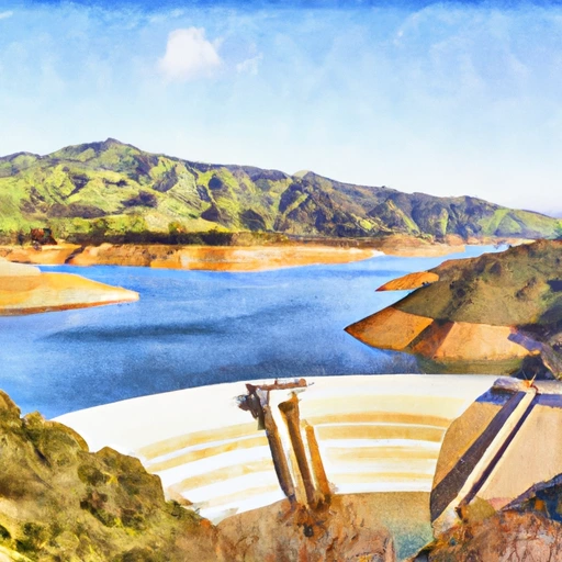
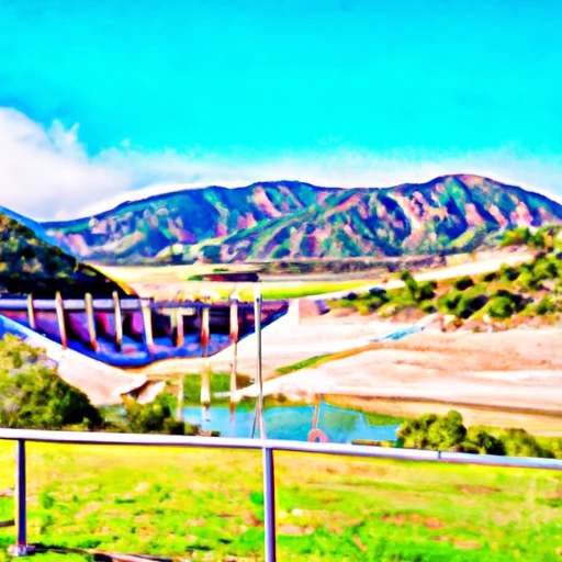
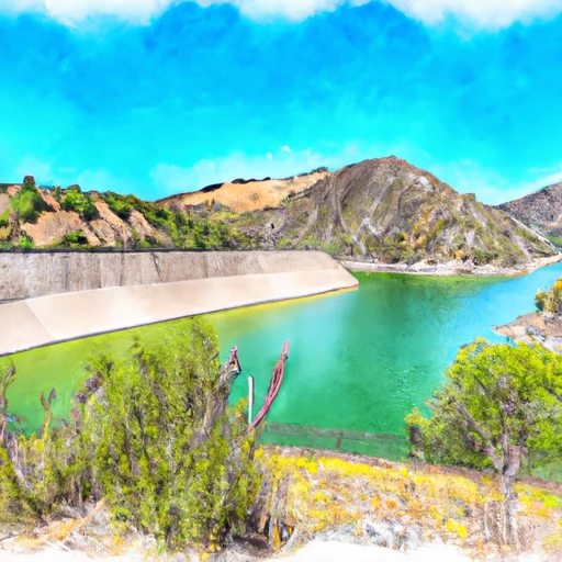
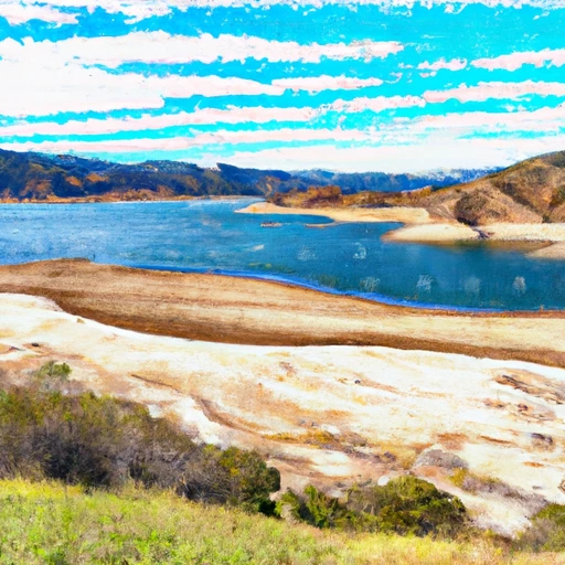
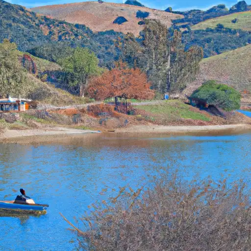
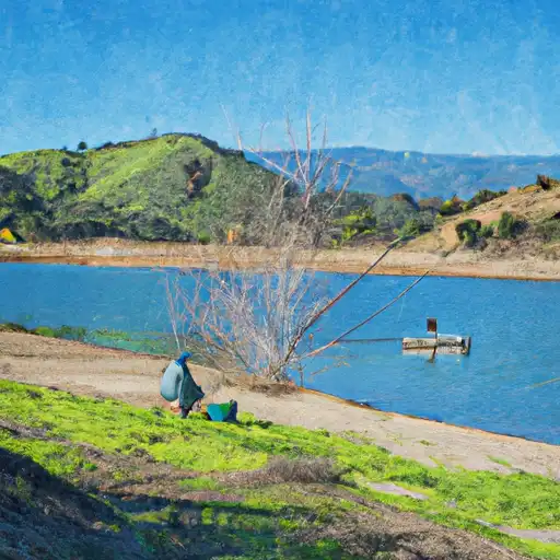
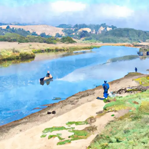
The dam impounds the waters of the Gibraltar Reservoir, which is fed by runoff from the surrounding Santa Ynez Mountains and snowpack during winter months. The dam has a height of 171 feet and a length of 385 feet. It has a capacity of 4,554 acre-feet and can hold up to 147 million gallons of water. The reservoir serves as a source of water supply for the city of Santa Barbara and surrounding areas. It is also used for recreational activities such as fishing, boating, and hiking. The dam has undergone several upgrades and maintenance over the years to ensure its safety and reliability.
Regional Streamflow Levels


15-Day Long Term Forecast
Reservoir Details
| Storage 24hr Change | None% |
| Percent of Normal | None% |
| Minimum |
179.0 acre-ft
2021-12-13 |
| Maximum |
4,955.0 acre-ft
2023-01-09 |
| Average | acre-ft |
| Nid_Height | 169 |
| Hydraulic_Height | 167 |
| Drainage_Area | 214 |
| Year_Completed | 1920 |
| Dam_Height | 169 |
| Primary_Dam_Type | Arch |
| Surface_Area | 335 |
| Nid_Storage | 9998 |
| River_Or_Stream | Santa Ynez Rv |
| Dam_Length | 600 |
| Hazard_Potential | High |
Seasonal Comparison
Storage Levels
Pool Elevation Levels
Top Conserv Storage Levels
Inflow Levels
5-Day Hourly Forecast Detail
Dam Data Reference
Condition Assessment
SatisfactoryNo existing or potential dam safety deficiencies are recognized. Acceptable performance is expected under all loading conditions (static, hydrologic, seismic) in accordance with the minimum applicable state or federal regulatory criteria or tolerable risk guidelines.
Fair
No existing dam safety deficiencies are recognized for normal operating conditions. Rare or extreme hydrologic and/or seismic events may result in a dam safety deficiency. Risk may be in the range to take further action. Note: Rare or extreme event is defined by the regulatory agency based on their minimum
Poor A dam safety deficiency is recognized for normal operating conditions which may realistically occur. Remedial action is necessary. POOR may also be used when uncertainties exist as to critical analysis parameters which identify a potential dam safety deficiency. Investigations and studies are necessary.
Unsatisfactory
A dam safety deficiency is recognized that requires immediate or emergency remedial action for problem resolution.
Not Rated
The dam has not been inspected, is not under state or federal jurisdiction, or has been inspected but, for whatever reason, has not been rated.
Not Available
Dams for which the condition assessment is restricted to approved government users.
Hazard Potential Classification
HighDams assigned the high hazard potential classification are those where failure or mis-operation will probably cause loss of human life.
Significant
Dams assigned the significant hazard potential classification are those dams where failure or mis-operation results in no probable loss of human life but can cause economic loss, environment damage, disruption of lifeline facilities, or impact other concerns. Significant hazard potential classification dams are often located in predominantly rural or agricultural areas but could be in areas with population and significant infrastructure.
Low
Dams assigned the low hazard potential classification are those where failure or mis-operation results in no probable loss of human life and low economic and/or environmental losses. Losses are principally limited to the owner's property.
Undetermined
Dams for which a downstream hazard potential has not been designated or is not provided.
Not Available
Dams for which the downstream hazard potential is restricted to approved government users.
Area Campgrounds
| Location | Reservations | Toilets |
|---|---|---|
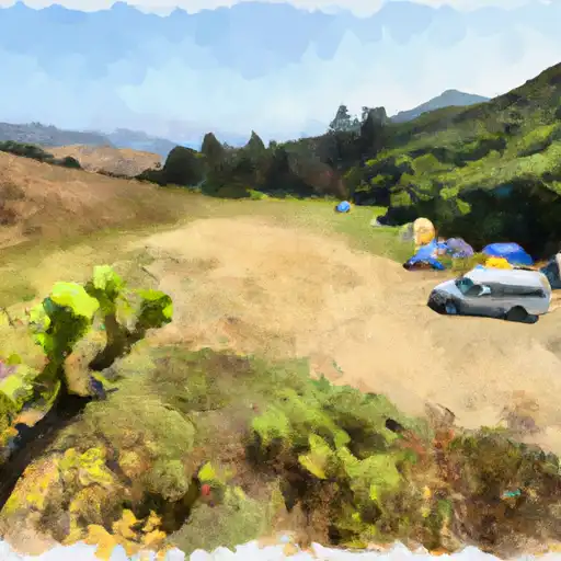 Upper Oso
|
||
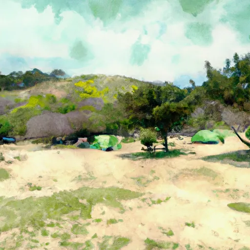 Upper Oso Campground
|
||
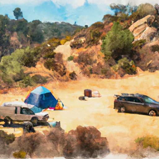 P-Bar Flat Campground
|
||
 Sage Hill Group Campground
|
||
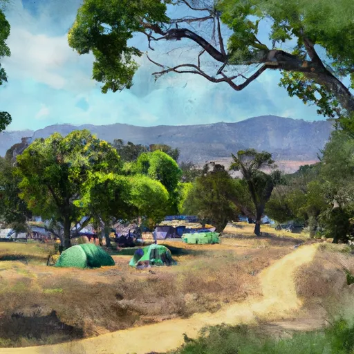 Middle Santa Ynez Campground
|
||
 Middle Santa Ynez
|
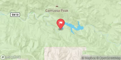
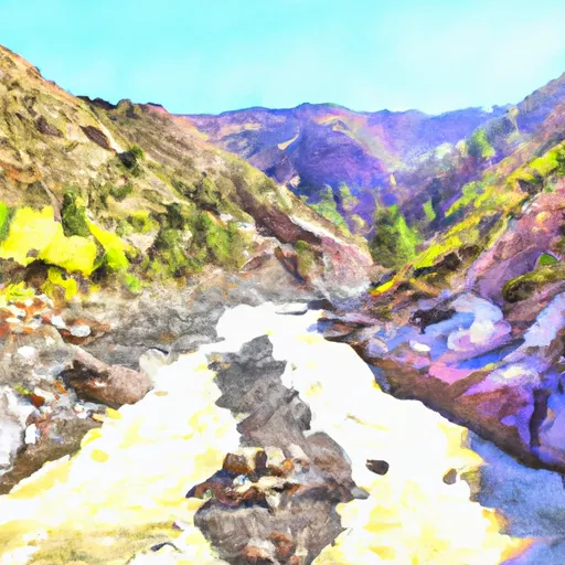
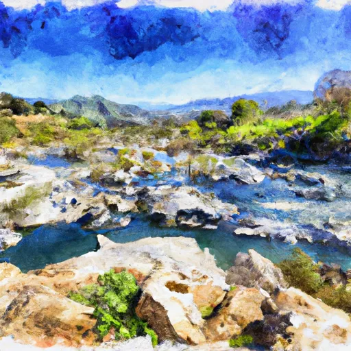
 Gibraltar Dam
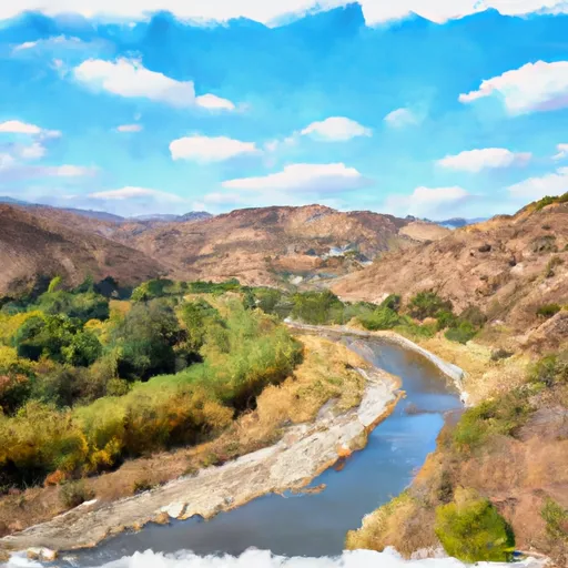
 Santa Ynez R Ab Gibraltar Dam Nr Santa Barb Ca
 Juncal Dam (Jameson Lake)
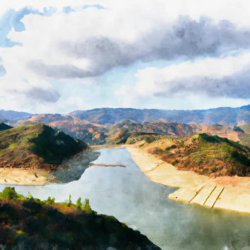
 Cachuma Lake
 Matilija Dam
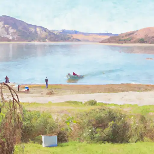
 Casitas
River Runs
-
 Chorro Grande Canyon To Section Line Dividing Sec 1, T5N, R23W And Sec 6, T5N, T22W
-
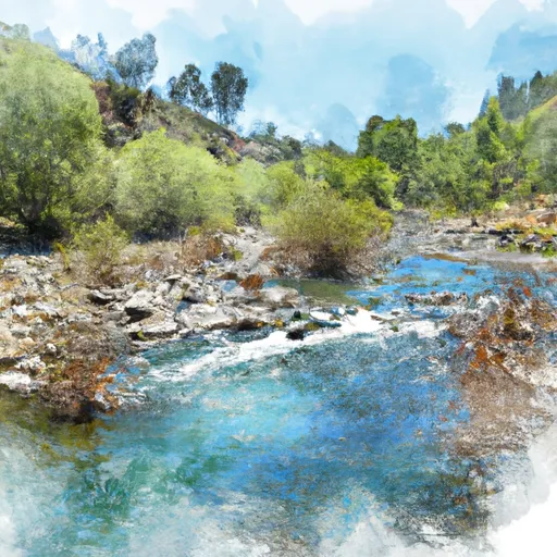 Section Line To Confluence With Rock Creek
-
 Headwaters, Upper Piru Creek To Wildernes Boundary
-
 Wilderness Boundary To Confluence With Gold Hill Creek
-
 Confluence With Gold Hill Creek To Castaic
-
 Castaic To Pyramid Reservoir
 Cachuma Lake
 Casitas Lake
 Lake Casitas
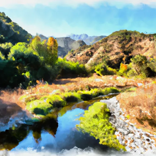
 Reyes Creek
 Sespe Creek, Upper