


Shaver Lake Reservoir Report
Last Updated: May 7, 2026
°F
°F
mph
Wind
%
Humidity
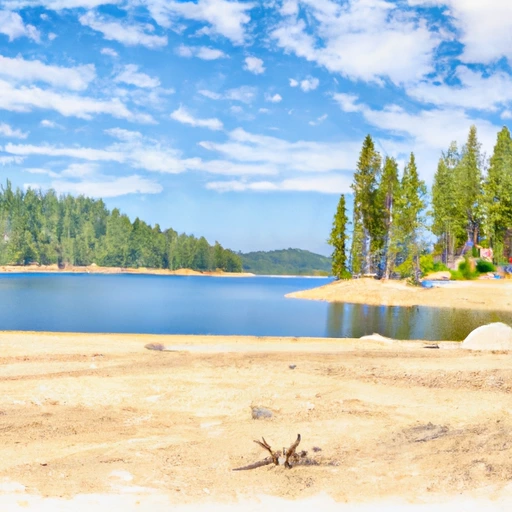
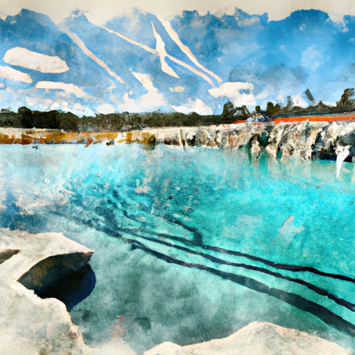
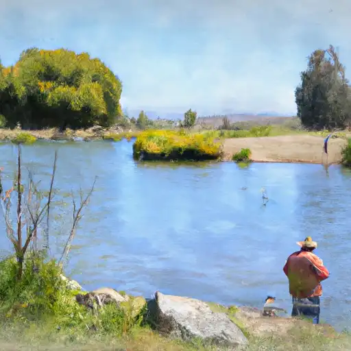
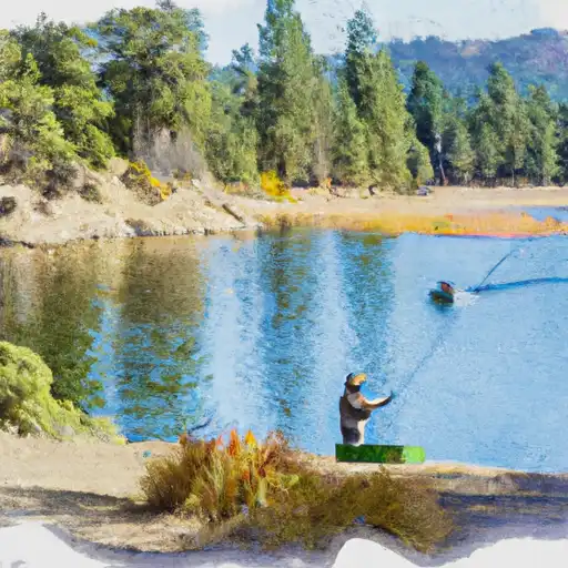
Shaver Lake is a reservoir located in the Sierra Nevada Mountains of California.
Summary
It was created in 1927 when the Stevenson Creek was dammed. The lake is a popular recreational destination, attracting visitors for activities such as boating, fishing, camping, and hiking. The hydrology of the lake is heavily influenced by the surrounding mountains, which provide a significant amount of surface flow and snowpack during the winter months. The snowpack serves as a critical water source for downstream agricultural areas. The lake and its watershed are managed by the Southern California Edison Company, which operates several hydroelectric facilities in the area. In addition to its recreational and agricultural uses, Shaver Lake also serves as a valuable habitat for several species of fish and wildlife.
Regional Streamflow Levels
15-Day Long Term Forecast
Reservoir Details
| Storage 24hr Change | -2.05% |
| Percent of Normal | 177% |
| Minimum |
40,277.0 acre-ft
2022-01-10 |
| Maximum |
132,069.0 acre-ft
2024-06-20 |
| Average | 71,056 acre-ft |
| Dam_Height | 180 |
| Hydraulic_Height | 180 |
| Drainage_Area | 30 |
| Year_Completed | 1927 |
| Nid_Storage | 135568 |
| Structural_Height | 180 |
| Primary_Dam_Type | Concrete |
| River_Or_Stream | Stevenson Creek |
| Foundations | Rock |
| Surface_Area | 2190 |
| Hazard_Potential | High |
| Dam_Length | 1760 |
| Nid_Height | 180 |
Seasonal Comparison
Storage Levels
Pool Elevation Levels
Top Conserv Storage Levels
Inflow Levels
5-Day Hourly Forecast Detail
Dam Data Reference
Condition Assessment
SatisfactoryNo existing or potential dam safety deficiencies are recognized. Acceptable performance is expected under all loading conditions (static, hydrologic, seismic) in accordance with the minimum applicable state or federal regulatory criteria or tolerable risk guidelines.
Fair
No existing dam safety deficiencies are recognized for normal operating conditions. Rare or extreme hydrologic and/or seismic events may result in a dam safety deficiency. Risk may be in the range to take further action. Note: Rare or extreme event is defined by the regulatory agency based on their minimum
Poor A dam safety deficiency is recognized for normal operating conditions which may realistically occur. Remedial action is necessary. POOR may also be used when uncertainties exist as to critical analysis parameters which identify a potential dam safety deficiency. Investigations and studies are necessary.
Unsatisfactory
A dam safety deficiency is recognized that requires immediate or emergency remedial action for problem resolution.
Not Rated
The dam has not been inspected, is not under state or federal jurisdiction, or has been inspected but, for whatever reason, has not been rated.
Not Available
Dams for which the condition assessment is restricted to approved government users.
Hazard Potential Classification
HighDams assigned the high hazard potential classification are those where failure or mis-operation will probably cause loss of human life.
Significant
Dams assigned the significant hazard potential classification are those dams where failure or mis-operation results in no probable loss of human life but can cause economic loss, environment damage, disruption of lifeline facilities, or impact other concerns. Significant hazard potential classification dams are often located in predominantly rural or agricultural areas but could be in areas with population and significant infrastructure.
Low
Dams assigned the low hazard potential classification are those where failure or mis-operation results in no probable loss of human life and low economic and/or environmental losses. Losses are principally limited to the owner's property.
Undetermined
Dams for which a downstream hazard potential has not been designated or is not provided.
Not Available
Dams for which the downstream hazard potential is restricted to approved government users.
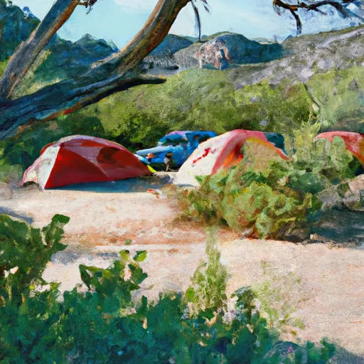
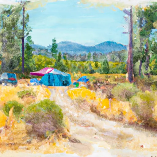
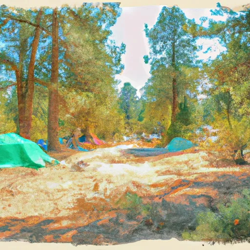
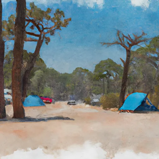
Area Campgrounds
| Location | Reservations | Toilets |
|---|---|---|
 Camp Edison
|
||
 Dorabelle
|
||
 Dorabelle Campground
|
||
 Camp Chawanakee
|
||
 Shaver free campsite
|
||
 Swanson Campground
|
 Shaver Lake
 Huntington Lake (Usbr)
 Redinger Lake
 Kerckhoff Reservoir
 Mammoth Pool
 Crane Valley
 Redinger Boating Site
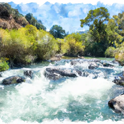
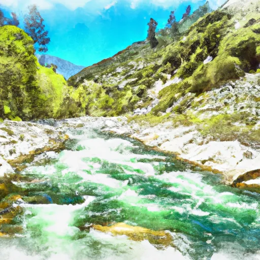
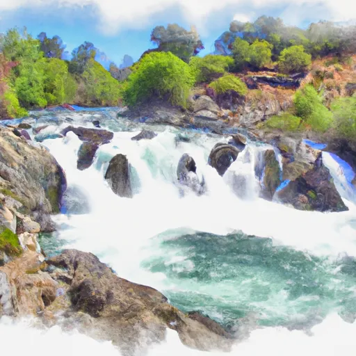
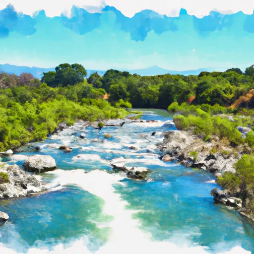
River Runs
-
 Confluence With North Fork San Joaquin River To Hells Half Acre
-
 Blarney Meadows To South End Of Florence Lake
-
 Hot Springs Area To West End Of Blarney River
-
 Northwest Boundary Of Nf/Kings Canyon Np To Hot Springs Area
-
 Rainbow Falls To Confluence With North Fork San Joaquin River
-
 Cora Creek To Confluence With San Joaquin River
 Fish Creek
 Dinkey Meadow Creek
 Beryl Lake
 Rancheria Creek
 Mystery Lake