


Empire Mine Tertiary Pond Dam Reservoir Report
Last Updated: May 3, 2026
°F
°F
mph
Wind
%
Humidity
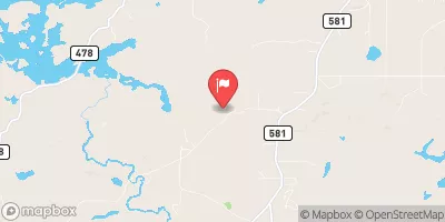
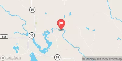
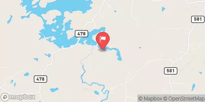
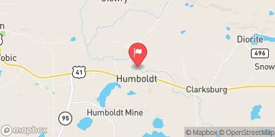
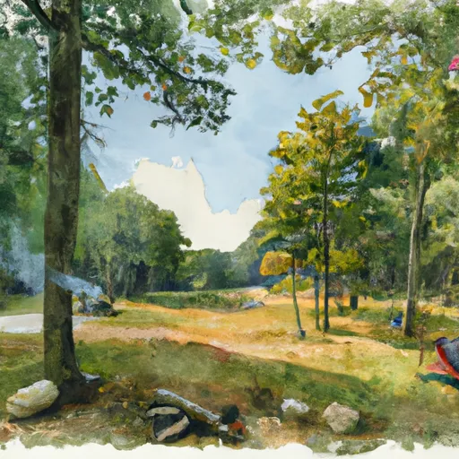
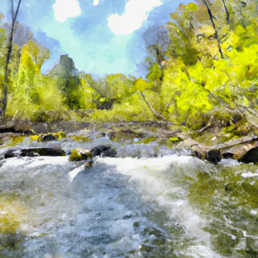
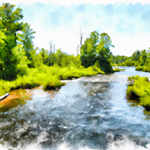
The Empire Mine Tertiary Pond Dam, also known as the Etb Tertiary Dam, is a privately-owned structure located in Gwinn, Michigan, along Green Creek.
Summary
Completed in 1975, this earth dam stands at a height of 90 feet and spans 850 feet in length, with a storage capacity of 3348 acre-feet. The dam serves a primary purpose that falls under the category of "Other," with a low hazard potential and a satisfactory condition assessment as of the last inspection in September 2016.
Managed by the Michigan DEGLE and regulated by the state, the Empire Mine Tertiary Pond Dam plays a crucial role in water resource management and climate resilience in the region. With a very high risk assessment ranking, measures for risk management and emergency preparedness are essential for safeguarding the surrounding communities and environment. Despite its low hazard potential, the dam's strategic location and design make it a key asset for water storage and flood control in Marquette County, Michigan.
As a significant feature in the local landscape, the Empire Mine Tertiary Pond Dam serves as a reminder of the intersection between human infrastructure and natural systems. Its controlled spillway, expansive surface area, and drainage capacity of 5.7 square miles highlight the importance of sustainable water management practices in mitigating the impacts of climate change. By staying informed about the dam's condition, inspection frequency, and risk assessment, water resource and climate enthusiasts can contribute to the ongoing efforts to ensure the safety and resilience of this vital infrastructure.
Regional Streamflow Levels

15-Day Long Term Forecast
Year Completed |
1975 |
Dam Length |
850 |
Dam Height |
90 |
River Or Stream |
Green Creek |
Primary Dam Type |
Earth |
Surface Area |
93 |
Hydraulic Height |
90 |
Drainage Area |
5.7 |
Nid Storage |
3348 |
Structural Height |
90 |
Hazard Potential |
Low |
Nid Height |
90 |
Seasonal Comparison
5-Day Hourly Forecast Detail
Dam Data Reference
Condition Assessment
SatisfactoryNo existing or potential dam safety deficiencies are recognized. Acceptable performance is expected under all loading conditions (static, hydrologic, seismic) in accordance with the minimum applicable state or federal regulatory criteria or tolerable risk guidelines.
Fair
No existing dam safety deficiencies are recognized for normal operating conditions. Rare or extreme hydrologic and/or seismic events may result in a dam safety deficiency. Risk may be in the range to take further action. Note: Rare or extreme event is defined by the regulatory agency based on their minimum
Poor A dam safety deficiency is recognized for normal operating conditions which may realistically occur. Remedial action is necessary. POOR may also be used when uncertainties exist as to critical analysis parameters which identify a potential dam safety deficiency. Investigations and studies are necessary.
Unsatisfactory
A dam safety deficiency is recognized that requires immediate or emergency remedial action for problem resolution.
Not Rated
The dam has not been inspected, is not under state or federal jurisdiction, or has been inspected but, for whatever reason, has not been rated.
Not Available
Dams for which the condition assessment is restricted to approved government users.
Hazard Potential Classification
HighDams assigned the high hazard potential classification are those where failure or mis-operation will probably cause loss of human life.
Significant
Dams assigned the significant hazard potential classification are those dams where failure or mis-operation results in no probable loss of human life but can cause economic loss, environment damage, disruption of lifeline facilities, or impact other concerns. Significant hazard potential classification dams are often located in predominantly rural or agricultural areas but could be in areas with population and significant infrastructure.
Low
Dams assigned the low hazard potential classification are those where failure or mis-operation results in no probable loss of human life and low economic and/or environmental losses. Losses are principally limited to the owner's property.
Undetermined
Dams for which a downstream hazard potential has not been designated or is not provided.
Not Available
Dams for which the downstream hazard potential is restricted to approved government users.
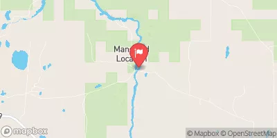
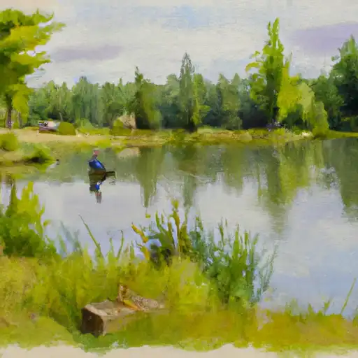
Area Campgrounds
 Private camp
 Bass Lake State Forest Campground (Marquette)
 Anderson Lake West State Forest Campground
 Rippling River Resort
 West Branch State Forest Campground
 Little Lake State Forest Campground
 Schweitzer Reservoir Near Palmer
 Greenwood Reservoir Near Greenwood
 County Road PFJ Tilden Township
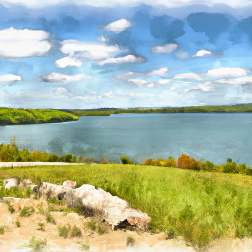
River Runs
-
 West Branch From Source In Sec 26, T46N, R23 W To Junction With County Road 444
-
 Mainstem, Easternforest Boundary In Sec 1, T44N, R35W To City Of Crystal Falls
-
 East Branch Net River, From Its Source In Sec 8, T47N, R32W To Confluence With Mainstem Net River In Sec 24, T46N, R34W
-
 West Branch Net River, From Its Source In Sec 35, T48N, R34W To Confluence With Mainstem Net River In Sec 24, T46N, R34W
-
 Net River Mainstem, Confluence With East/West Branches To Confluence With The Mainstem Paint River
-
 Brule Lake In Ne1/4 Sec 15, T41N, R13E To Forest Boundary In Se1/4 Sec 31, T41N, R17E
 Gene Pond
 Peavy Pond
 Twin Falls Flowage
 Lake Antoine
 Fortune Lakes