North Utah County - Silver Lake Flat Reservoir Report
Last Updated: February 21, 2026
North Utah County - Silver Lake Flat is a vital water supply structure located in American Fork, Utah, serving the local community's needs for over 50 years.
Summary
Managed by the Utah Division of Water Rights, this earth dam on Silver Creek stands at an impressive 84 feet in height and provides a maximum storage capacity of 1384 acre-feet. The dam, designed by the USDA NRCS and completed in 1971, plays a crucial role in regulating water flow and ensuring water security for the surrounding area.
With a high hazard potential but deemed in satisfactory condition as of the last assessment in 2015, North Utah County - Silver Lake Flat is subject to regular inspections and regulatory oversight to maintain its structural integrity. The dam's primary purpose of water supply underscores its importance in supporting the region's water needs, with a normal storage capacity of 1040 acre-feet. Its location on Silver Creek and its role in managing water flow highlight its significance in the local water resource management infrastructure.
As a key piece of local government-owned infrastructure in Utah, North Utah County - Silver Lake Flat stands as a testament to the collaborative efforts of various agencies in ensuring water security and regulation. With a history of serving the community for decades, this earth dam continues to play a vital role in water management and supply for the region, reflecting the importance of sustainable water resource practices in the face of changing climate conditions.
°F
°F
mph
Wind
%
Humidity
15-Day Weather Outlook
Year Completed |
1971 |
Dam Length |
1500 |
River Or Stream |
SILVER CREEK |
Primary Dam Type |
Earth |
Hydraulic Height |
76 |
Drainage Area |
4 |
Nid Storage |
1384 |
Structural Height |
84 |
Hazard Potential |
High |
Nid Height |
84 |
Seasonal Comparison
5-Day Hourly Forecast Detail
Nearby Streamflow Levels
Dam Data Reference
Condition Assessment
SatisfactoryNo existing or potential dam safety deficiencies are recognized. Acceptable performance is expected under all loading conditions (static, hydrologic, seismic) in accordance with the minimum applicable state or federal regulatory criteria or tolerable risk guidelines.
Fair
No existing dam safety deficiencies are recognized for normal operating conditions. Rare or extreme hydrologic and/or seismic events may result in a dam safety deficiency. Risk may be in the range to take further action. Note: Rare or extreme event is defined by the regulatory agency based on their minimum
Poor A dam safety deficiency is recognized for normal operating conditions which may realistically occur. Remedial action is necessary. POOR may also be used when uncertainties exist as to critical analysis parameters which identify a potential dam safety deficiency. Investigations and studies are necessary.
Unsatisfactory
A dam safety deficiency is recognized that requires immediate or emergency remedial action for problem resolution.
Not Rated
The dam has not been inspected, is not under state or federal jurisdiction, or has been inspected but, for whatever reason, has not been rated.
Not Available
Dams for which the condition assessment is restricted to approved government users.
Hazard Potential Classification
HighDams assigned the high hazard potential classification are those where failure or mis-operation will probably cause loss of human life.
Significant
Dams assigned the significant hazard potential classification are those dams where failure or mis-operation results in no probable loss of human life but can cause economic loss, environment damage, disruption of lifeline facilities, or impact other concerns. Significant hazard potential classification dams are often located in predominantly rural or agricultural areas but could be in areas with population and significant infrastructure.
Low
Dams assigned the low hazard potential classification are those where failure or mis-operation results in no probable loss of human life and low economic and/or environmental losses. Losses are principally limited to the owner's property.
Undetermined
Dams for which a downstream hazard potential has not been designated or is not provided.
Not Available
Dams for which the downstream hazard potential is restricted to approved government users.
Area Campgrounds
| Location | Reservations | Toilets |
|---|---|---|
 Granite Flat
|
||
 Granite Flat Campground
|
||
 Warnick
|
||
 Little Mill
|
||
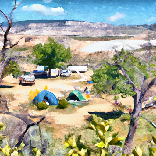 Little Mill Campground
|
||
 Altamont Group Campground
|


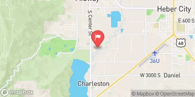


 North Utah County - Silver Lake Flat
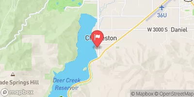
 Deer Creek Reservoir
 Tibble Res Down
 Skeletor's Gorge
 Eastern Boundary Of National Monument To Western Boundary Of National Monument
 Mt Timpanogos Wilderenss Boundary To Scout Falls
 Confluence Below Timpooneke To Mt Timpanogos Wilderness Boundary
 Source To Murray City Diversion
 Lake Martha
 Lake Lillian
 Lake Florence
 Lake Solitude
 Silver Lake