Gale Meadows Dike Dam

Gale Meadows Dike
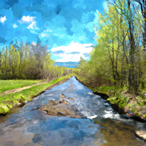
Gale Meadows Dike, located in Winhall, Vermont, is a state-owned earth dam designed by HALEY & WARD, primarily for recreational purposes. Completed in 1965, this dam on Eddy Brook-TR serves to store water with a capacity of 2942 acre-feet and has a structural height of 8 feet. With a length of 150 feet and a surface area of 204 acres, the dam plays a crucial role in managing the local water resources and providing recreational opportunities for the community.
Despite its low hazard potential, the condition assessment of Gale Meadows Dike is rated as poor, with the last inspection conducted in August 2006. The dam is regulated by the Vermont Department of Environmental Conservation (DEC), which oversees permitting, inspection, and enforcement activities. While the dam has not undergone any modifications in recent years, its emergency action plan (EAP) status, inundation maps, and risk assessment details are not available, raising concerns about the preparedness for potential emergencies or adverse events.
As water resource and climate enthusiasts, it is important to monitor the condition and management of structures like Gale Meadows Dike to ensure their safety and efficacy in the face of changing environmental conditions. Collaborative efforts between state agencies, designers, and stakeholders are essential to address the poor condition assessment and lack of comprehensive emergency preparedness measures for this vital piece of infrastructure in Bennington County, Vermont. By staying informed and advocating for proactive risk management strategies, we can help safeguard our water resources and communities for future generations.
Plan around the weather
Same NOAA / yr.no feed Snoflo's iOS app uses. Watch the precipitation column on the meteogram -- rain on the basin upstream typically lifts inflow 24-72 hours later.
Next 5 days, hour by hour
Temperature line with weather symbols on top, snow + rain accumulation as columns, humidity as a dotted line.
5-day forecast table
Every 3 hours, broken out across temperature, snow, rain, humidity, and wind. Each cell is colour-coded relative to the column min/max.
| Time | Condition | Temp (°F) | Snow (in) | Rain (in) | Humidity (%) | Wind (mps) | Wind dir |
|---|---|---|---|---|---|---|---|
| Loading detailed forecast… | |||||||
15-day temperature & precipitation
Daily temperatures, snow, and rain projected over the next two weeks.
Nearby streamflow gauges
USGS streamgauges around Gale Meadows Dike -- inflows here typically show up in storage 24-72 hours later.
| Streamgauge | Discharge | View |
|---|---|---|
| West River At Jamaica | 36 cfs | → |
| West River Below Townshend Dam Near Townshend | 46 cfs | → |
| Saxtons River At Saxtons River | 19 cfs | → |
| Williams River Near Rockingham Vt | 28 cfs | → |
| Black River At North Springfield | 56 cfs | → |
| Connecticut River At North Walpole | 2,620 cfs | → |
Make a day of it
Boat launches, lakeside camping, fishing access, and other reservoirs near Gale Meadows Dike.
Boat launches
See all →


Campgrounds
See all →


Fishing spots
See all →


River runs
See all →


More reservoirs
See all →
About Gale Meadows Dike
Where does the data for Gale Meadows Dike come from?
Structural and regulatory data come from the U.S. Army Corps of Engineers' National Inventory of Dams (NID). Weather forecast comes from NOAA / yr.no -- the same feed Snoflo's iOS app uses.
How often is the report updated?
NID structural data refreshes annually as the Corps publishes updated assessments. The weather forecast refreshes throughout the day.
What does the Low hazard rating mean?
The Corps of Engineers' hazard potential classification grades probable consequences if the dam fails: High = probable loss of human life; Significant = no probable loss of human life but possible economic loss / environmental damage; Low = no probable loss of human life, only minor economic / environmental losses. See the Dam Data Reference card below for the full definitions.
What's "% of normal"?
The current storage value compared to the historical average storage on this calendar day. 100% = right on average; values above 100% mean above-normal storage (wet year); values below mean below-normal (dry year or drought).
Can I get alerts when storage crosses a threshold?
Yes -- alerts are managed in the Snoflo iOS app. Favorite this dam, set a threshold, and you'll get a push the moment conditions cross.
Dam data reference
Condition Assessment
- Satisfactory
- No existing or potential dam safety deficiencies are recognized. Acceptable performance is expected under all loading conditions (static, hydrologic, seismic) in accordance with the minimum applicable state or federal regulatory criteria or tolerable risk guidelines.
- Fair
- No existing dam safety deficiencies are recognized for normal operating conditions. Rare or extreme hydrologic and/or seismic events may result in a dam safety deficiency. Risk may be in the range to take further action.
- Poor
- A dam safety deficiency is recognized for normal operating conditions which may realistically occur. Remedial action is necessary. POOR may also be used when uncertainties exist as to critical analysis parameters which identify a potential dam safety deficiency.
- Unsatisfactory
- A dam safety deficiency is recognized that requires immediate or emergency remedial action for problem resolution.
- Not Rated
- The dam has not been inspected, is not under state or federal jurisdiction, or has been inspected but, for whatever reason, has not been rated.
Hazard Potential Classification
- High
- Dams assigned the high hazard potential classification are those where failure or mis-operation will probably cause loss of human life.
- Significant
- Dams assigned the significant hazard potential classification are those dams where failure or mis-operation results in no probable loss of human life but can cause economic loss, environmental damage, disruption of lifeline facilities, or impact other concerns. Significant hazard potential classification dams are often located in predominantly rural or agricultural areas but could be in areas with population and significant infrastructure.
- Low
- Dams assigned the low hazard potential classification are those where failure or mis-operation results in no probable loss of human life and low economic and/or environmental losses. Losses are principally limited to the owner's property.
- Undetermined
- Dams for which a downstream hazard potential has not been designated or is not provided.