


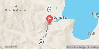
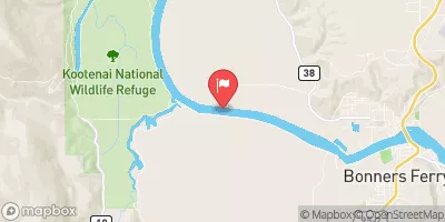
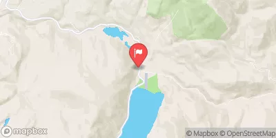
Priest Lake At Outlet Nr Coolin Id Reservoir Report
Last Updated: May 3, 2026
°F
°F
mph
Wind
%
Humidity
Priest Lake is a natural lake situated in Bonner County, Idaho, near the town of Coolin.
Summary
The lake is fed by a combination of stream inflow, snowmelt, and groundwater. It is surrounded by mountains and forests, making it a popular destination for outdoor recreational activities, including skiing, hiking, and fishing. The lake has a rich history, as it was originally used by Native American tribes for hunting and fishing. Later, it became a popular spot for logging and milling operations. Today, the lake is used for both agricultural and recreational purposes. The Priest Lake snowpack is an important source of water for irrigation and hydropower generation in the region. The lake is also a popular tourist destination, attracting visitors from across the country.
Regional Streamflow Levels
 Priest R Outflow Nr Coolin
|
1890cfs |
 Pack River Nr Colburn Id
|
610cfs |
 Priest River Nr Priest River Id
|
2510cfs |
 Pend Oreille River At Newport Wa
|
33100cfs |
 Kootenai River @ Tribal Hatchery Nr Bonners Ferry
|
15700cfs |
 Outlet Creek Near Metaline Falls
|
19cfs |
15-Day Long Term Forecast
Reservoir Details
| Gage Height, Ft 24hr Change | 1.58% |
| Percent of Normal | 147% |
| Minimum |
0.01 ft
2018-03-08 |
| Maximum |
6.31 ft
2022-12-20 |
| Average | 2 ft |
| Dam_Height | 12 |
| Hydraulic_Height | 8 |
| Drainage_Area | 572 |
| Year_Completed | 1979 |
| Nid_Storage | 76100 |
| River_Or_Stream | PRIEST LAKE PRIEST RIVER |
| Foundations | Rock, Soil |
| Surface_Area | 23800 |
| Hazard_Potential | Significant |
| Outlet_Gates | None |
| Dam_Length | 194 |
| Nid_Height | 12 |
Seasonal Comparison
Gage Height, Ft Levels
5-Day Hourly Forecast Detail
Dam Data Reference
Condition Assessment
SatisfactoryNo existing or potential dam safety deficiencies are recognized. Acceptable performance is expected under all loading conditions (static, hydrologic, seismic) in accordance with the minimum applicable state or federal regulatory criteria or tolerable risk guidelines.
Fair
No existing dam safety deficiencies are recognized for normal operating conditions. Rare or extreme hydrologic and/or seismic events may result in a dam safety deficiency. Risk may be in the range to take further action. Note: Rare or extreme event is defined by the regulatory agency based on their minimum
Poor A dam safety deficiency is recognized for normal operating conditions which may realistically occur. Remedial action is necessary. POOR may also be used when uncertainties exist as to critical analysis parameters which identify a potential dam safety deficiency. Investigations and studies are necessary.
Unsatisfactory
A dam safety deficiency is recognized that requires immediate or emergency remedial action for problem resolution.
Not Rated
The dam has not been inspected, is not under state or federal jurisdiction, or has been inspected but, for whatever reason, has not been rated.
Not Available
Dams for which the condition assessment is restricted to approved government users.
Hazard Potential Classification
HighDams assigned the high hazard potential classification are those where failure or mis-operation will probably cause loss of human life.
Significant
Dams assigned the significant hazard potential classification are those dams where failure or mis-operation results in no probable loss of human life but can cause economic loss, environment damage, disruption of lifeline facilities, or impact other concerns. Significant hazard potential classification dams are often located in predominantly rural or agricultural areas but could be in areas with population and significant infrastructure.
Low
Dams assigned the low hazard potential classification are those where failure or mis-operation results in no probable loss of human life and low economic and/or environmental losses. Losses are principally limited to the owner's property.
Undetermined
Dams for which a downstream hazard potential has not been designated or is not provided.
Not Available
Dams for which the downstream hazard potential is restricted to approved government users.
Area Campgrounds
| Location | Reservations | Toilets |
|---|---|---|
 Outlet
|
||
 Outlet at Priest Lake Campground
|
||
 Bartoo Island Group Site/Campgrounds
|
||
 Luby Bay Campground
|
||
 Luby Bay
|
||
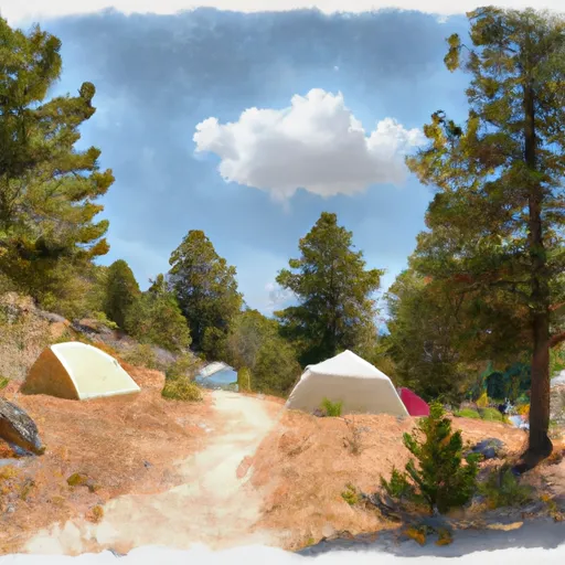 Schneider
|
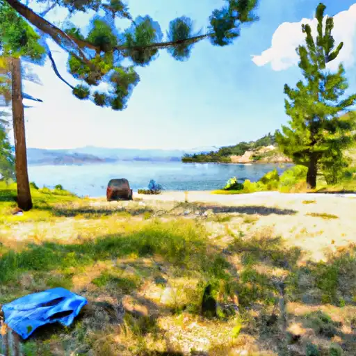
 Priest Lake At Outlet Nr Coolin Id
 Kaniksu Drive Pend Oreille County
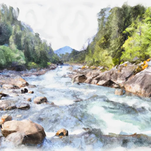
River Runs
-
 Forest Boundary, Sec. 34, T59N, R2W To Harrison Lake, Sec. 31, T62N, R2W
-
 Upper Priest River
-
 Segment 2 Flows For Almost 10 Miles From The Intersection With Trail 312 To Its Confluence With The Upper Priest River To Segment 2 Flows For Almost 10 Miles From The Intersection With Trail 312 To Its Confluence With The Upper Priest River
-
 Segment 1 Is Classified As Wild And Flows From Its Source For Almost Five Miles To The Intersection With Trail 312 To Segment 1 Is Classified As Wild And Flows From Its Source For Almost To The Intersection With Trail 312
-
 Long Canyon Pass, Sec. 30, T63N, R2W To Forest Boundary, Road #417, Sec. 25, T63N, R2W
-
 Ne1/4 Of Sec 13, T40N, R46E To Nw1/4 Of Sec 5, T40N, R46E