


Little Paint Creek Watershed Site 206a Reservoir Report
Last Updated: May 3, 2026
°F
°F
mph
Wind
%
Humidity
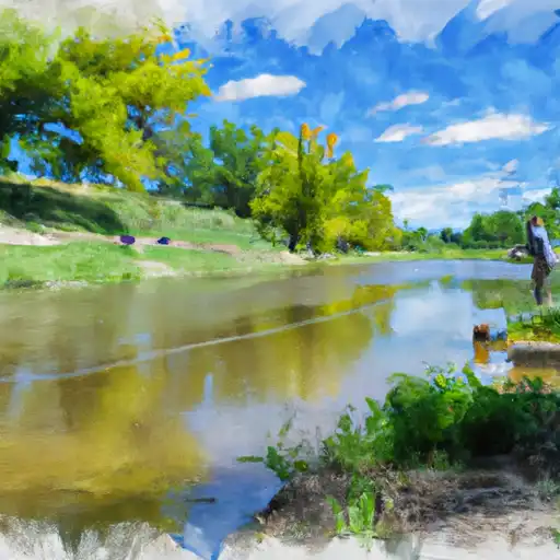
Located in Allamakee County, Iowa, the Little Paint Creek Watershed Site 206a is a state-regulated dam designed by the USDA NRCS with a primary purpose of flood risk reduction.
Summary
Completed in 2005, this earth dam stands at a height of 42 feet and has a length of 350 feet, providing a maximum storage capacity of 143 acre-feet. The dam is situated on the TR-Little Paint Creek, within the St. Paul District of Iowa.
With a low hazard potential and a moderate risk assessment rating of 3, the condition of the dam is currently not rated. Despite its low hazard potential, the dam remains under state jurisdiction, permitting, inspection, and enforcement by the Iowa DNR. The spillway type is uncontrolled with a width of 26 feet, and the dam serves a drainage area of 0.24 square miles. As an essential structure for flood risk reduction in the area, the Little Paint Creek Watershed Site 206a plays a crucial role in managing water resources and climate impacts in the region, ensuring the safety and protection of local communities from potential flooding events.
Regional Streamflow Levels
 Yellow River At Ion
|
311cfs |
 Bloody Run Creek Near Marquette
|
30cfs |
 Mississippi River At Mcgregor
|
21700cfs |
 Kickapoo River At Steuben
|
736cfs |
 Upper Iowa River Near Dorchester
|
870cfs |
 Turkey River Above French Hollow Cr At Elkader
|
1210cfs |
15-Day Long Term Forecast
Year Completed |
2005 |
Dam Length |
350 |
Dam Height |
42 |
River Or Stream |
TR-Little Paint Creek |
Primary Dam Type |
Earth |
Surface Area |
4 |
Drainage Area |
0.24 |
Nid Storage |
143 |
Hazard Potential |
Low |
Foundations |
Soil |
Nid Height |
42 |
Seasonal Comparison
5-Day Hourly Forecast Detail
Dam Data Reference
Condition Assessment
SatisfactoryNo existing or potential dam safety deficiencies are recognized. Acceptable performance is expected under all loading conditions (static, hydrologic, seismic) in accordance with the minimum applicable state or federal regulatory criteria or tolerable risk guidelines.
Fair
No existing dam safety deficiencies are recognized for normal operating conditions. Rare or extreme hydrologic and/or seismic events may result in a dam safety deficiency. Risk may be in the range to take further action. Note: Rare or extreme event is defined by the regulatory agency based on their minimum
Poor A dam safety deficiency is recognized for normal operating conditions which may realistically occur. Remedial action is necessary. POOR may also be used when uncertainties exist as to critical analysis parameters which identify a potential dam safety deficiency. Investigations and studies are necessary.
Unsatisfactory
A dam safety deficiency is recognized that requires immediate or emergency remedial action for problem resolution.
Not Rated
The dam has not been inspected, is not under state or federal jurisdiction, or has been inspected but, for whatever reason, has not been rated.
Not Available
Dams for which the condition assessment is restricted to approved government users.
Hazard Potential Classification
HighDams assigned the high hazard potential classification are those where failure or mis-operation will probably cause loss of human life.
Significant
Dams assigned the significant hazard potential classification are those dams where failure or mis-operation results in no probable loss of human life but can cause economic loss, environment damage, disruption of lifeline facilities, or impact other concerns. Significant hazard potential classification dams are often located in predominantly rural or agricultural areas but could be in areas with population and significant infrastructure.
Low
Dams assigned the low hazard potential classification are those where failure or mis-operation results in no probable loss of human life and low economic and/or environmental losses. Losses are principally limited to the owner's property.
Undetermined
Dams for which a downstream hazard potential has not been designated or is not provided.
Not Available
Dams for which the downstream hazard potential is restricted to approved government users.
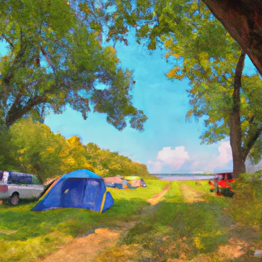
Area Campgrounds
| Location | Reservations | Toilets |
|---|---|---|
 Little Paint Creek Campground
|
||
 Yellow River State Forest
|
||
 Heffern's Hill Camp
|
||
 Big Paint Creek Campground
|
||
 Camp Glen Wendel
|
||
 Camp Terry Hennesy
|
 County Road X52 Allamakee County
River Runs
-
 Western Boundary Of Effigy Mounds National Monument To Boundary Of Effigy Mounds National Monument
-
 The Big Green River
To The River'S Mouth At The Mississippi River
The Big Green River
To The River'S Mouth At The Mississippi River
-
 The "Lower" Dam, Near The Confluence Of Coon Creek To Lane'S Bridge
-
 The Town Of Bluffton To The "Lower" Dam, Near The Confluence Of Coon Creek
-
 The Minnesota-Iowa State Border To Ends Near The Town Of Bluffton, Iowa
-
 Lone Rock
To The Confluence Of The Green And Wisconsin Rivers
Lone Rock
To The Confluence Of The Green And Wisconsin Rivers
 Paint Creek
 Hickory Creek
 French Creek
 New Albin Big Lake
 Buck Creek