Buckaroo Freshwater Cell Dam

Buckaroo Freshwater Cell
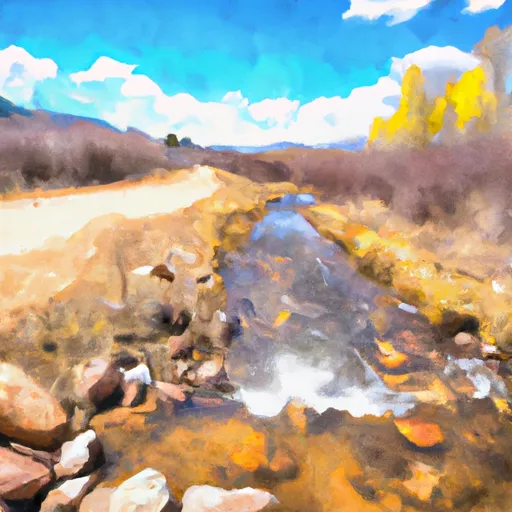
Buckaroo Freshwater Cell is a privately-owned irrigation dam located in Laramie, Wyoming, along Childs Draw. Constructed in 2018 by designer Russ Dahlgren, this Earth-type dam stands at 18 feet tall and stretches 2000 feet in length, with a storage capacity of 78 acre-feet. With a low hazard potential and satisfactory condition assessment, the dam serves its primary purpose of irrigation effectively, providing water for agricultural activities in the region.
Despite its moderate risk assessment, Buckaroo Freshwater Cell has been regulated and inspected by the Wyoming State Engineer's Office, ensuring its compliance with state permitting and enforcement requirements. The dam features an uncontrolled spillway, with a width of 2 feet, and has no associated locks or outlet gates. With the last inspection conducted in July 2020 and a regular inspection frequency of 5 years, the dam remains a vital resource for water management in the area.
For water resource and climate enthusiasts, Buckaroo Freshwater Cell presents a fascinating case study of a modern irrigation infrastructure in a rural setting. Its location in the picturesque city of Hillsdale and its reliance on Childs Draw for water supply make it a key player in the agricultural landscape of Laramie County. As climate change continues to impact water resources, understanding the design, operation, and regulation of dams like Buckaroo Freshwater Cell becomes crucial for sustainable water management practices in the future.
Plan around the weather
Same NOAA / yr.no feed Snoflo's iOS app uses. Watch the precipitation column on the meteogram -- rain on the basin upstream typically lifts inflow 24-72 hours later.
Next 5 days, hour by hour
Temperature line with weather symbols on top, snow + rain accumulation as columns, humidity as a dotted line.
5-day forecast table
Every 3 hours, broken out across temperature, snow, rain, humidity, and wind. Each cell is colour-coded relative to the column min/max.
| Time | Condition | Temp (°F) | Snow (in) | Rain (in) | Humidity (%) | Wind (mps) | Wind dir |
|---|---|---|---|---|---|---|---|
| Loading detailed forecast… | |||||||
15-day temperature & precipitation
Daily temperatures, snow, and rain projected over the next two weeks.
Nearby streamflow gauges
USGS streamgauges around Buckaroo Freshwater Cell -- inflows here typically show up in storage 24-72 hours later.
| Streamgauge | Discharge | View |
|---|---|---|
| Crow Creek At 19th Street | 3 cfs | → |
| N Frk Cache La Poudre R Blw Halligan Res Nr V Dal | 46 cfs | → |
| North Fork Cache La Poudre R. At Livermore | 14 cfs | → |
| Laramie River At Laramie | 22 cfs | → |
| Lodgepole Creek At Bushnell | · | → |
| Cache La Poudre R A Mo Of Cn | 355 cfs | → |
Make a day of it
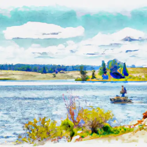
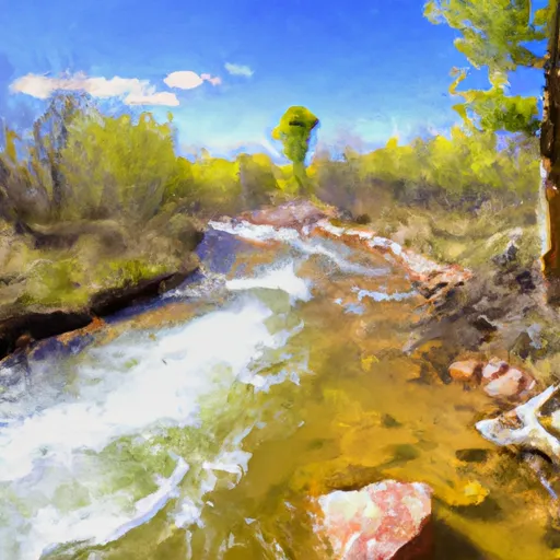
Boat launches, lakeside camping, fishing access, and other reservoirs near Buckaroo Freshwater Cell.
Boat launches
See all →


Fishing spots
See all →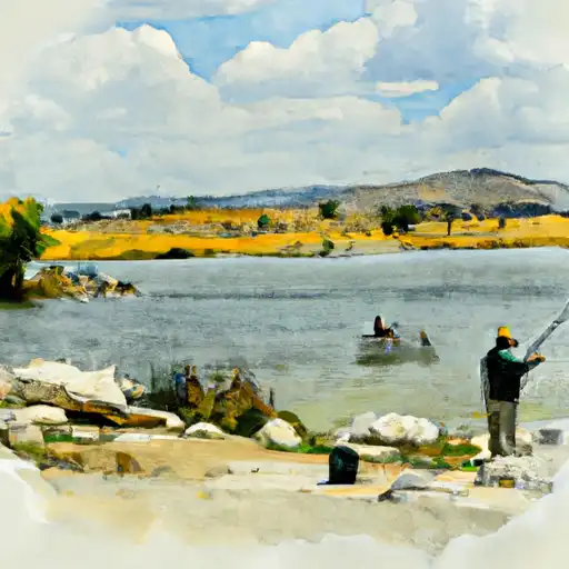


River runs
See all →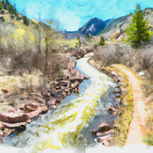


More reservoirs
See all →
About Buckaroo Freshwater Cell
Where does the data for Buckaroo Freshwater Cell come from?
Structural and regulatory data come from the U.S. Army Corps of Engineers' National Inventory of Dams (NID). Weather forecast comes from NOAA / yr.no -- the same feed Snoflo's iOS app uses.
How often is the report updated?
NID structural data refreshes annually as the Corps publishes updated assessments. The weather forecast refreshes throughout the day.
What does the Low hazard rating mean?
The Corps of Engineers' hazard potential classification grades probable consequences if the dam fails: High = probable loss of human life; Significant = no probable loss of human life but possible economic loss / environmental damage; Low = no probable loss of human life, only minor economic / environmental losses. See the Dam Data Reference card below for the full definitions.
What's "% of normal"?
The current storage value compared to the historical average storage on this calendar day. 100% = right on average; values above 100% mean above-normal storage (wet year); values below mean below-normal (dry year or drought).
Can I get alerts when storage crosses a threshold?
Yes -- alerts are managed in the Snoflo iOS app. Favorite this dam, set a threshold, and you'll get a push the moment conditions cross.
Dam data reference
Condition Assessment
- Satisfactory
- No existing or potential dam safety deficiencies are recognized. Acceptable performance is expected under all loading conditions (static, hydrologic, seismic) in accordance with the minimum applicable state or federal regulatory criteria or tolerable risk guidelines.
- Fair
- No existing dam safety deficiencies are recognized for normal operating conditions. Rare or extreme hydrologic and/or seismic events may result in a dam safety deficiency. Risk may be in the range to take further action.
- Poor
- A dam safety deficiency is recognized for normal operating conditions which may realistically occur. Remedial action is necessary. POOR may also be used when uncertainties exist as to critical analysis parameters which identify a potential dam safety deficiency.
- Unsatisfactory
- A dam safety deficiency is recognized that requires immediate or emergency remedial action for problem resolution.
- Not Rated
- The dam has not been inspected, is not under state or federal jurisdiction, or has been inspected but, for whatever reason, has not been rated.
Hazard Potential Classification
- High
- Dams assigned the high hazard potential classification are those where failure or mis-operation will probably cause loss of human life.
- Significant
- Dams assigned the significant hazard potential classification are those dams where failure or mis-operation results in no probable loss of human life but can cause economic loss, environmental damage, disruption of lifeline facilities, or impact other concerns. Significant hazard potential classification dams are often located in predominantly rural or agricultural areas but could be in areas with population and significant infrastructure.
- Low
- Dams assigned the low hazard potential classification are those where failure or mis-operation results in no probable loss of human life and low economic and/or environmental losses. Losses are principally limited to the owner's property.
- Undetermined
- Dams for which a downstream hazard potential has not been designated or is not provided.