Summary
It provides access to the Klamath River, which is a major river in northern California that flows through the Klamath Mountains and empties into the Pacific Ocean.
The boat ramp at Sugar Pine Gulch is a concrete ramp that is suitable for most types of boats, including kayaks, canoes, and small motorized vessels. The ramp is wide enough to accommodate multiple boats at once, and there is ample parking available for vehicles and trailers.
According to the California Department of Fish and Wildlife, the Klamath River is open to fishing year-round, and a variety of fish species can be found in its waters, including salmon, steelhead, and trout. However, specific regulations and restrictions may apply depending on the time of year and the type of fish being targeted.
Overall, the Sugar Pine Gulch River Access boat ramp is a convenient and well-maintained facility that provides easy access to one of California's most important waterways. Whether you're an avid angler or just enjoy spending time on the water, this boat ramp is definitely worth checking out.
°F
°F
mph
Wind
%
Humidity
15-Day Weather Outlook
5-Day Hourly Forecast Detail
Area Streamflow Levels
| SCOTT R NR FORT JONES CA | 412cfs |
| KLAMATH R NR SEIAD VALLEY CA | 2080cfs |
| INDIAN C NR HAPPY CAMP CA | 205cfs |
| SHASTA R NR YREKA CA | 238cfs |
| APPLEGATE RIVER NEAR COPPER | 175cfs |
| SHASTA R NR MONTAGUE CA | 219cfs |
River Runs
-
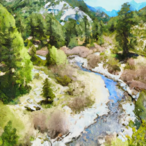 Headwaters In Marble Mtn. Wilderness To Wilderness Boundary
-
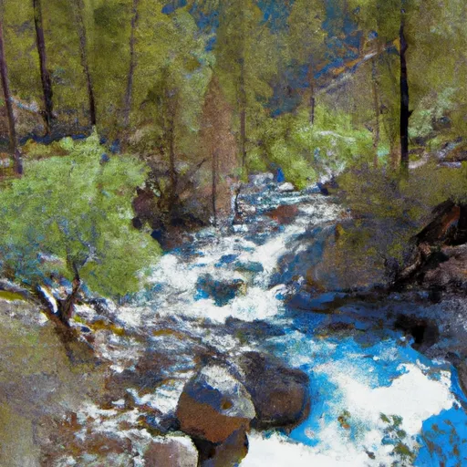 Headwaters In Marble Mtn. Wilderness To Confluence With Fish Creek
-
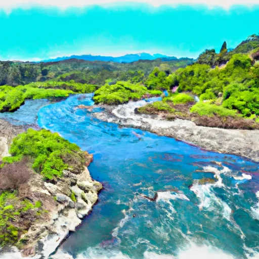 Confluence With Fish Creek To Confluence With Rancheria Creek
-
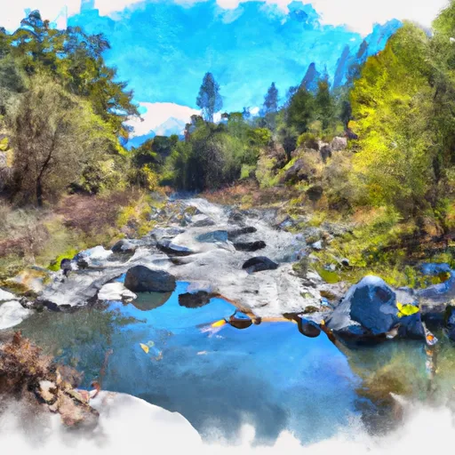 Confluence With Rancheria Creek To Forest Road 46N24X
-
 Rainey Valley Creek Headwaters To Confluence With Elk Creek

 Sugar Pine Gulch River Access