Summary
°F
°F
mph
Wind
%
Humidity
15-Day Weather Outlook
5-Day Hourly Forecast Detail
Area Streamflow Levels
| KLAMATH R NR SEIAD VALLEY CA | 2080cfs |
| INDIAN C NR HAPPY CAMP CA | 205cfs |
| APPLEGATE RIVER NEAR COPPER | 175cfs |
| SCOTT R NR FORT JONES CA | 412cfs |
| STAR GULCH NEAR RUCH | 1cfs |
| SUCKER CR BL LT GRAYBACK CR NR HOLLAND | 91cfs |
River Runs
-
 Sluice Box to Green Riffle
-
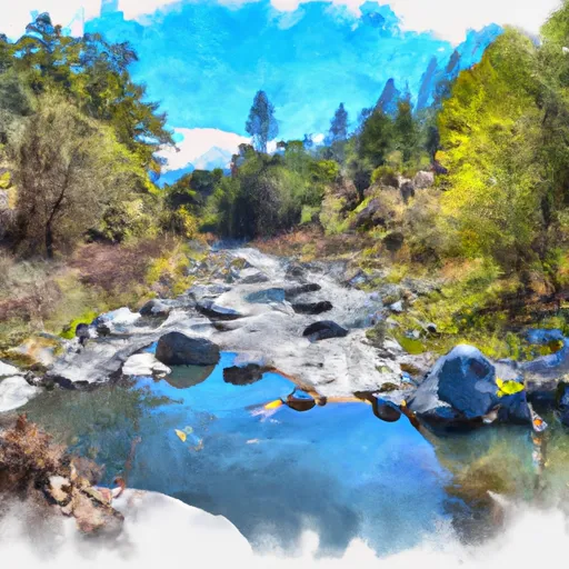 Confluence With Rancheria Creek To Forest Road 46N24X
-
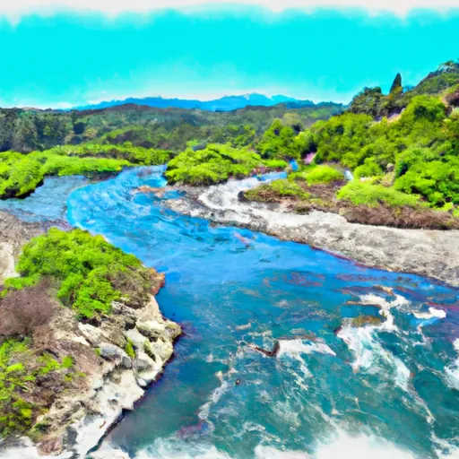 Confluence With Fish Creek To Confluence With Rancheria Creek
-
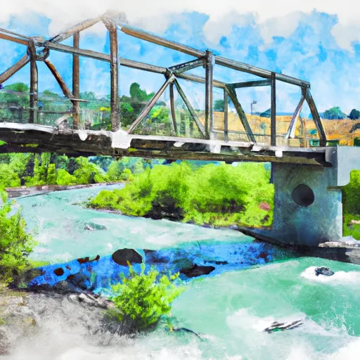 Bridge In Sec 19 To Bridge In Sec 25, T16N, R7E
-
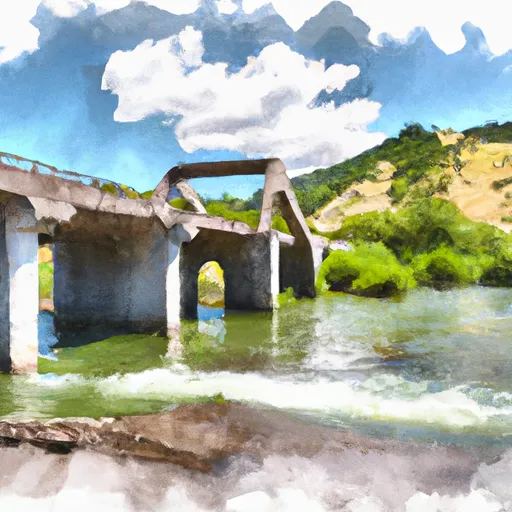 Bridge In Sec 25 To Confluence With Klamath River
-
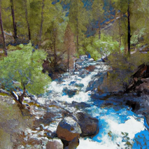 Headwaters In Marble Mtn. Wilderness To Confluence With Fish Creek

 H. Sluice Box River Access