Summary
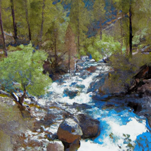
The river run difficulty is rated as class III to IV, and it features several obstacles such as rocks, drops, and powerful currents that require excellent boating skills to navigate safely. The best time to float this section of water is during the late spring and early summer months when the water levels are high, with a recommended CFS of 1500 to 3000. Experienced boaters will find this run to be exhilarating, while novices are advised to seek professional guidance before attempting it.
°F
°F
mph
Wind
%
Humidity
15-Day Weather Outlook
River Run Details
| Last Updated | 2023-06-13 |
| River Levels | 3690 cfs (4.74 ft) |
| Percent of Normal | 116% |
| Optimal Range | 700-10000 cfs |
| Status | Runnable |
| Class Level | III- to IV |
| Elevation | 1,317 ft |
| Run Length | 60.0 Mi |
| Streamflow Discharge | 2280 cfs |
| Gauge Height | 3.5 ft |
| Reporting Streamgage | USGS 11520500 |
5-Day Hourly Forecast Detail
Nearby Streamflow Levels
 Klamath R Nr Seiad Valley Ca
|
2280cfs |
 Indian C Nr Happy Camp Ca
|
282cfs |
 Applegate River Near Copper
|
175cfs |
 Scott R Nr Fort Jones Ca
|
490cfs |
 Star Gulch Near Ruch
|
2cfs |
 Sucker Cr Bl Lt Grayback Cr Nr Holland
|
125cfs |
Area Campgrounds
| Location | Reservations | Toilets |
|---|---|---|
 Fort Goff
|
||
 Grider Creek - horse
|
||
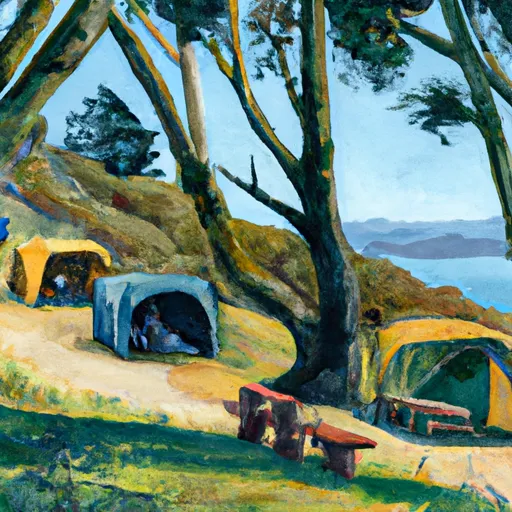 Fort Goff Campground
|
||
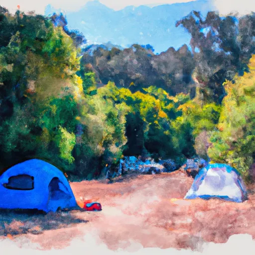 Grider Creek Campground
|
||
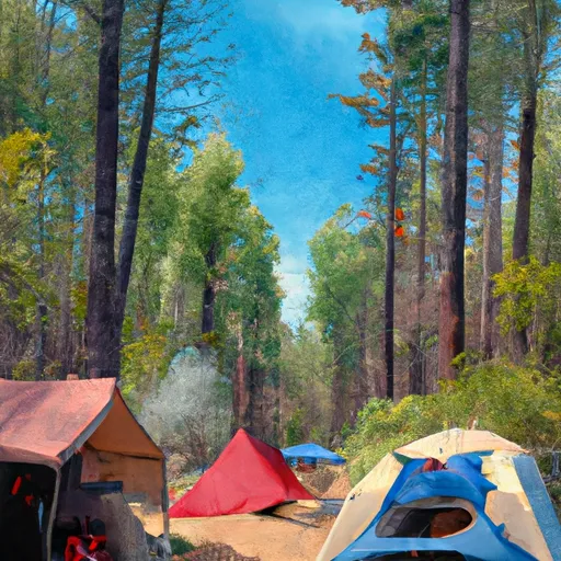 ONeil Creek Campground
|
||
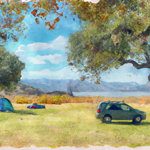 Oak Bottom
|
River Runs
-
 Sluice Box to Green Riffle
-
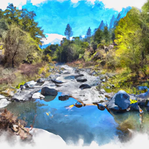 Confluence With Rancheria Creek To Forest Road 46N24X
-
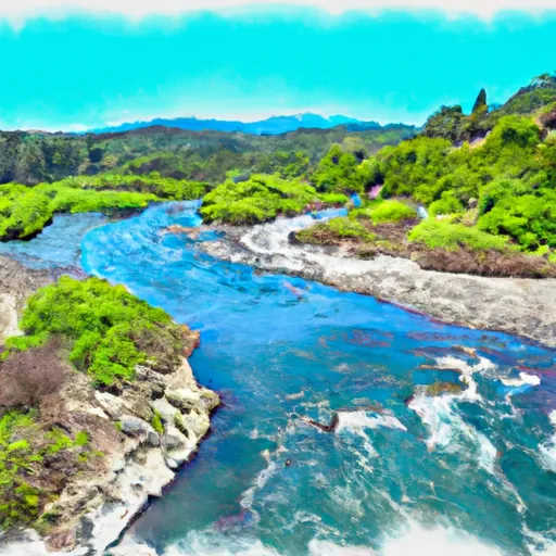 Confluence With Fish Creek To Confluence With Rancheria Creek
-
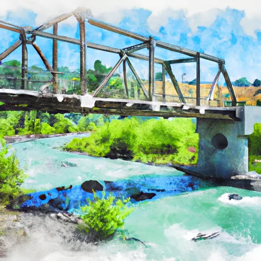 Bridge In Sec 19 To Bridge In Sec 25, T16N, R7E
-
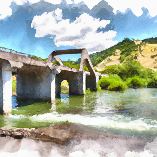 Bridge In Sec 25 To Confluence With Klamath River
-
 Headwaters In Marble Mtn. Wilderness To Confluence With Fish Creek


 H. Sluice Box River Access