Summary
The ideal streamflow range for this section of the river is between 300 and 800 cubic feet per second (cfs) during the spring months. The class rating for this section is Class III-IV, with technical rapids and obstacles such as Tight Squeeze, Staircase, and Sudden Impulse.
The segment mileage of this run is approximately 12 miles, with a total of 13 rapids along the way. The river flows through narrow canyons and granite boulders, making it a challenging and exciting ride for experienced paddlers. In addition to the rapids, there are also calm stretches of water for relaxation and enjoyment.
There are specific regulations in place for this area to ensure the safety of all visitors. A permit is required to access the river, and all paddlers must wear a properly fitting life jacket at all times. Additionally, fires are only permitted in designated areas, and all trash must be packed out. It is important to respect the natural environment and wildlife in the area, and to follow Leave No Trace principles.
Overall, the Whitewater River Run from Scott District Boundary to Confluence with Sixmile Creek is a thrilling and rewarding experience for advanced paddlers. It is important to plan ahead, check current river conditions, and follow all regulations to ensure a safe and enjoyable trip.
°F
°F
mph
Wind
%
Humidity
15-Day Weather Outlook
River Run Details
| Last Updated | 2026-01-26 |
| River Levels | 1180 cfs (5.69 ft) |
| Percent of Normal | 86% |
| Status | |
| Class Level | iii-iv |
| Elevation | ft |
| Streamflow Discharge | cfs |
| Gauge Height | ft |
| Reporting Streamgage | USGS 11523200 |
5-Day Hourly Forecast Detail
Nearby Streamflow Levels
 Trinity R Ab Coffee C Nr Trinity Ctr Ca
|
215cfs |
 Salmon R A Somes Bar Ca
|
939cfs |
 Klamath R A Orleans
|
4210cfs |
 Scott R Nr Fort Jones Ca
|
399cfs |
 Nf Trinity R A Helena Ca
|
47cfs |
 Trinity R Ab Nf Trinity R Nr Helena Ca
|
690cfs |
Area Campgrounds
| Location | Reservations | Toilets |
|---|---|---|
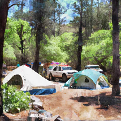 Trail Creek Campground
|
||
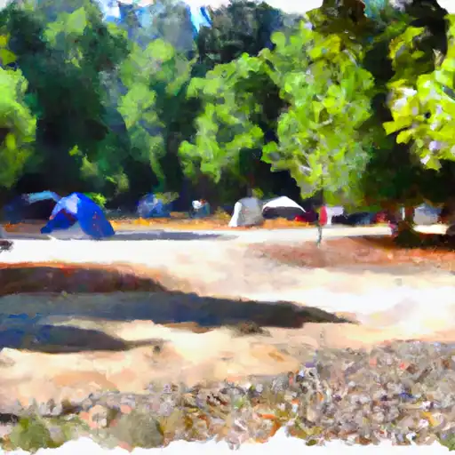 Shadow Creek
|
||
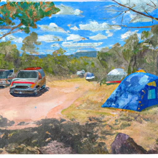 Shadow Creek Campground
|
||
 Hidden Horse Campground
|
||
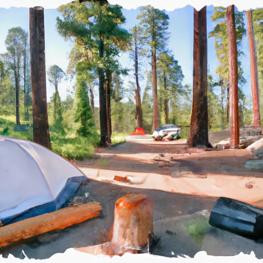 Carter Meadows Campground
|
||
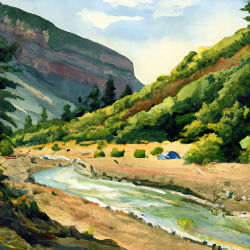 South Fork Scott River
|
River Runs
-
 Scott District Boundary To Confluence With Sixmile Creek
-
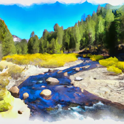 Headwaters In Russian Wilderness To Wilderness Boundary
-
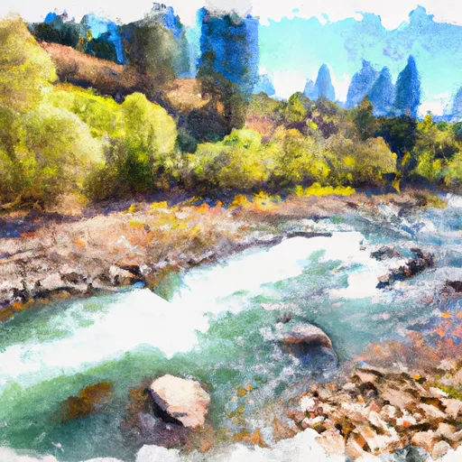 Confluence With Sixmile Creek To Confluence With South Fork Salmon River
-
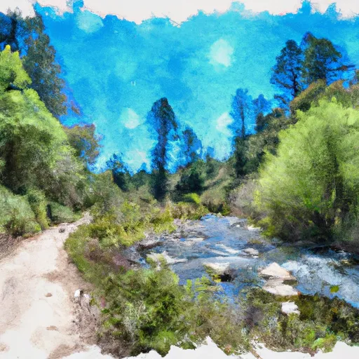 Wilderness Boundary To Forest Road 40N54
-
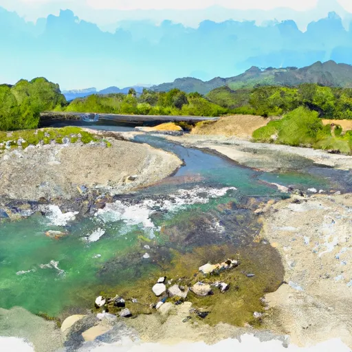 Confluence With Blind Horse Creek To Cecilville Bridge
-
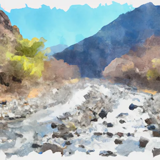 Confluence Of Tributaries In Sec 6 Near Black Mtn. To Confluence With Blind Horse Creek


 Jack Ass Creek River Access
 Bingham Lake
 Big Blue Lake
 Fox Creek Lake
 East Boulder Lake