Crescent Lake Dam

Crescent Lake
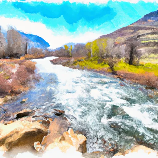
Crescent Lake in Oregon is a stunning water resource managed by the local government for irrigation and recreation purposes. Constructed in 1956 by the DOI Bureau of Reclamation, this earth dam stands at 38 feet in height, with a storage capacity of 119,600 acre-feet and a surface area of 4,008 acres. The lake's primary purpose is irrigation, but it also provides opportunities for recreational activities such as fishing and boating.
Situated in Klamath County, Crescent Lake is regulated by the Oregon Water Resources Department and undergoes regular inspections to ensure its proper functioning. With a high hazard potential but a satisfactory condition assessment as of October 2020, the dam features a slide (sluice gate) outlet for water management. The lake's scenic location and its role in supporting agriculture and recreation make it a vital resource for the community and a focal point for water resource and climate enthusiasts.
Overall, Crescent Lake is a crucial water body in Oregon that serves both practical and leisure purposes. Its management, maintenance, and regulatory oversight ensure its continued contribution to irrigation, recreation, and the local ecosystem. With its impressive infrastructure and strategic location, Crescent Lake remains a valuable asset for the region's water resource management efforts and a beloved destination for outdoor enthusiasts.
Plan around the weather
Same NOAA / yr.no feed Snoflo's iOS app uses. Watch the precipitation column on the meteogram -- rain on the basin upstream typically lifts inflow 24-72 hours later.
Next 5 days, hour by hour
Temperature line with weather symbols on top, snow + rain accumulation as columns, humidity as a dotted line.
5-day forecast table
Every 3 hours, broken out across temperature, snow, rain, humidity, and wind. Each cell is colour-coded relative to the column min/max.
| Time | Condition | Temp (°F) | Snow (in) | Rain (in) | Humidity (%) | Wind (mps) | Wind dir |
|---|---|---|---|---|---|---|---|
| Loading detailed forecast… | |||||||
15-day temperature & precipitation
Daily temperatures, snow, and rain projected over the next two weeks.
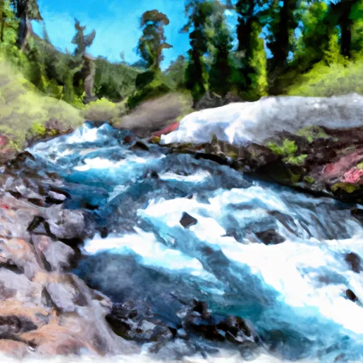
Nearby streamflow gauges
USGS streamgauges around Crescent Lake -- inflows here typically show up in storage 24-72 hours later.
| Streamgauge | Discharge | View |
|---|---|---|
| N.Umpqua R Abv White Mule Ck | 89 cfs | → |
| North Umpqua R Bl Lemolo Lk Nr T Falls | 87 cfs | → |
| N.Umpqua R Blw Warm Springs Ck Nr Toketee Falls | 91 cfs | → |
| Clearwater R Ab Trap Cr Nr T Falls | 51 cfs | → |
| Lake Creek Near Diamond | 113 cfs | → |
| Clearwater R Blw Mowich Creek | 50 cfs | → |
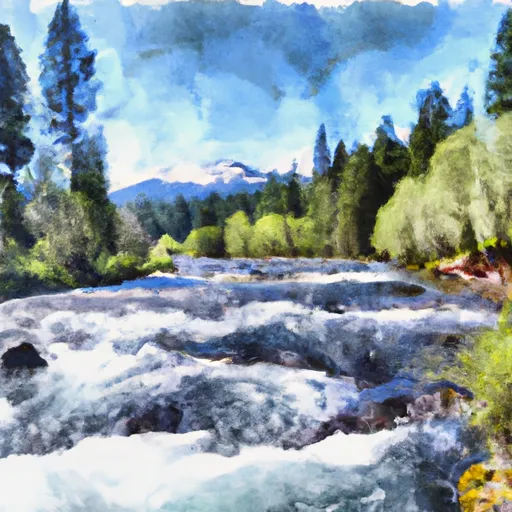
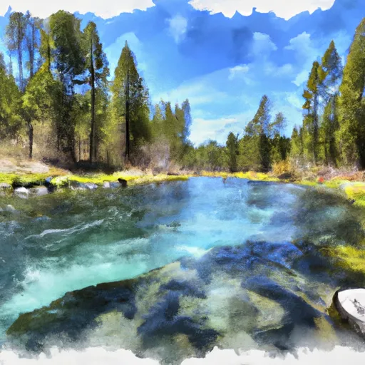
Make a day of it
Boat launches, lakeside camping, fishing access, and other reservoirs near Crescent Lake.
Boat launches
See all →


Campgrounds
See all →


Fishing spots
See all →


River runs
See all →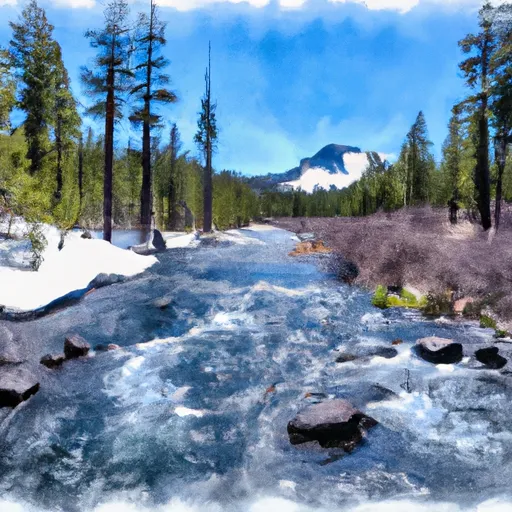


About Crescent Lake
Where does the data for Crescent Lake come from?
Structural and regulatory data come from the U.S. Army Corps of Engineers' National Inventory of Dams (NID). Weather forecast comes from NOAA / yr.no -- the same feed Snoflo's iOS app uses.
How often is the report updated?
NID structural data refreshes annually as the Corps publishes updated assessments. The weather forecast refreshes throughout the day.
What does the High hazard rating mean?
The Corps of Engineers' hazard potential classification grades probable consequences if the dam fails: High = probable loss of human life; Significant = no probable loss of human life but possible economic loss / environmental damage; Low = no probable loss of human life, only minor economic / environmental losses. See the Dam Data Reference card below for the full definitions.
What's "% of normal"?
The current storage value compared to the historical average storage on this calendar day. 100% = right on average; values above 100% mean above-normal storage (wet year); values below mean below-normal (dry year or drought).
Can I get alerts when storage crosses a threshold?
Yes -- alerts are managed in the Snoflo iOS app. Favorite this dam, set a threshold, and you'll get a push the moment conditions cross.
Dam data reference
Condition Assessment
- Satisfactory
- No existing or potential dam safety deficiencies are recognized. Acceptable performance is expected under all loading conditions (static, hydrologic, seismic) in accordance with the minimum applicable state or federal regulatory criteria or tolerable risk guidelines.
- Fair
- No existing dam safety deficiencies are recognized for normal operating conditions. Rare or extreme hydrologic and/or seismic events may result in a dam safety deficiency. Risk may be in the range to take further action.
- Poor
- A dam safety deficiency is recognized for normal operating conditions which may realistically occur. Remedial action is necessary. POOR may also be used when uncertainties exist as to critical analysis parameters which identify a potential dam safety deficiency.
- Unsatisfactory
- A dam safety deficiency is recognized that requires immediate or emergency remedial action for problem resolution.
- Not Rated
- The dam has not been inspected, is not under state or federal jurisdiction, or has been inspected but, for whatever reason, has not been rated.
Hazard Potential Classification
- High
- Dams assigned the high hazard potential classification are those where failure or mis-operation will probably cause loss of human life.
- Significant
- Dams assigned the significant hazard potential classification are those dams where failure or mis-operation results in no probable loss of human life but can cause economic loss, environmental damage, disruption of lifeline facilities, or impact other concerns. Significant hazard potential classification dams are often located in predominantly rural or agricultural areas but could be in areas with population and significant infrastructure.
- Low
- Dams assigned the low hazard potential classification are those where failure or mis-operation results in no probable loss of human life and low economic and/or environmental losses. Losses are principally limited to the owner's property.
- Undetermined
- Dams for which a downstream hazard potential has not been designated or is not provided.