Beardsley Dam

Beardsley
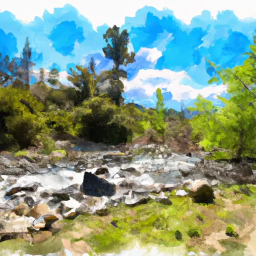
Beardsley Dam, located in Sonora, California, is a key structure along the Middle Fork Stanislaus River designed by Tudor-Goodenough and completed in 1957 for hydroelectric power generation. This earth-type dam stands at a height of 278 feet, with a hydraulic height of 276 feet, and a structural height of 284 feet. With a normal storage capacity of 97,500 acre-feet and a maximum storage of 97,800 acre-feet, Beardsley Dam plays a crucial role in flood risk reduction, hydroelectric power production, and recreation in the region.
Managed by the Federal Energy Regulatory Commission (FERC), Beardsley Dam is under state regulation and inspection by the California Department of Water Resources (DWR) for its safety and compliance with state laws. The dam's spillway, with a width of 174 feet and controlled design, can handle a maximum discharge of 90,000 cubic feet per second. Despite its high hazard potential, the condition assessment for Beardsley Dam is currently not available, indicating a need for further evaluation and risk management measures to ensure its continued safety and functionality.
With its very high risk assessment rating and significant storage and discharge capacities, Beardsley Dam is a critical infrastructure for water resource management and climate resilience in the Tuolumne County region. As a public utility structure serving various purposes, including flood control and renewable energy generation, Beardsley Dam's operation and maintenance are essential for safeguarding the surrounding communities and ecosystems. Ongoing monitoring, inspection, and risk management efforts will be crucial in ensuring the long-term safety and sustainability of this vital water resource facility.
Plan around the weather
Same NOAA / yr.no feed Snoflo's iOS app uses. Watch the precipitation column on the meteogram -- rain on the basin upstream typically lifts inflow 24-72 hours later.
Next 5 days, hour by hour
Temperature line with weather symbols on top, snow + rain accumulation as columns, humidity as a dotted line.
5-day forecast table
Every 3 hours, broken out across temperature, snow, rain, humidity, and wind. Each cell is colour-coded relative to the column min/max.
| Time | Condition | Temp (°F) | Snow (in) | Rain (in) | Humidity (%) | Wind (mps) | Wind dir |
|---|---|---|---|---|---|---|---|
| Loading detailed forecast… | |||||||
15-day temperature & precipitation
Daily temperatures, snow, and rain projected over the next two weeks.
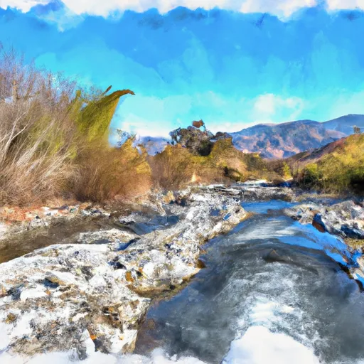
Nearby streamflow gauges
USGS streamgauges around Beardsley -- inflows here typically show up in storage 24-72 hours later.
| Streamgauge | Discharge | View |
|---|---|---|
| Cherry C Bl Valley Dam Nr Hetch Hetchy Ca | 15 cfs | → |
| Lk Eleanor Div To Cherry Lake Nr Hetch Hetchy Ca | 1 cfs | → |
| Eleanor C Nr Hetch Hetchy Ca | 21 cfs | → |
| Cherry C Nr Early Intake Ca | 43 cfs | → |
| Cherry C Bl Dion R Holm Ph | 42 cfs | → |
| Tuolumne R Bl Early Intake Nr Mather Ca | 134 cfs | → |
Make a day of it
Boat launches, lakeside camping, fishing access, and other reservoirs near Beardsley .
Boat launches
See all →


Campgrounds
See all →


Fishing spots
See all →


River runs
See all →


About Beardsley
Where does the data for Beardsley come from?
Structural and regulatory data come from the U.S. Army Corps of Engineers' National Inventory of Dams (NID). Weather forecast comes from NOAA / yr.no -- the same feed Snoflo's iOS app uses.
How often is the report updated?
NID structural data refreshes annually as the Corps publishes updated assessments. The weather forecast refreshes throughout the day.
What does the High hazard rating mean?
The Corps of Engineers' hazard potential classification grades probable consequences if the dam fails: High = probable loss of human life; Significant = no probable loss of human life but possible economic loss / environmental damage; Low = no probable loss of human life, only minor economic / environmental losses. See the Dam Data Reference card below for the full definitions.
What's "% of normal"?
The current storage value compared to the historical average storage on this calendar day. 100% = right on average; values above 100% mean above-normal storage (wet year); values below mean below-normal (dry year or drought).
Can I get alerts when storage crosses a threshold?
Yes -- alerts are managed in the Snoflo iOS app. Favorite this dam, set a threshold, and you'll get a push the moment conditions cross.
Dam data reference
Condition Assessment
- Satisfactory
- No existing or potential dam safety deficiencies are recognized. Acceptable performance is expected under all loading conditions (static, hydrologic, seismic) in accordance with the minimum applicable state or federal regulatory criteria or tolerable risk guidelines.
- Fair
- No existing dam safety deficiencies are recognized for normal operating conditions. Rare or extreme hydrologic and/or seismic events may result in a dam safety deficiency. Risk may be in the range to take further action.
- Poor
- A dam safety deficiency is recognized for normal operating conditions which may realistically occur. Remedial action is necessary. POOR may also be used when uncertainties exist as to critical analysis parameters which identify a potential dam safety deficiency.
- Unsatisfactory
- A dam safety deficiency is recognized that requires immediate or emergency remedial action for problem resolution.
- Not Rated
- The dam has not been inspected, is not under state or federal jurisdiction, or has been inspected but, for whatever reason, has not been rated.
Hazard Potential Classification
- High
- Dams assigned the high hazard potential classification are those where failure or mis-operation will probably cause loss of human life.
- Significant
- Dams assigned the significant hazard potential classification are those dams where failure or mis-operation results in no probable loss of human life but can cause economic loss, environmental damage, disruption of lifeline facilities, or impact other concerns. Significant hazard potential classification dams are often located in predominantly rural or agricultural areas but could be in areas with population and significant infrastructure.
- Low
- Dams assigned the low hazard potential classification are those where failure or mis-operation results in no probable loss of human life and low economic and/or environmental losses. Losses are principally limited to the owner's property.
- Undetermined
- Dams for which a downstream hazard potential has not been designated or is not provided.