Clear Lake Dike 1 dam

Clear Lake Dike 1
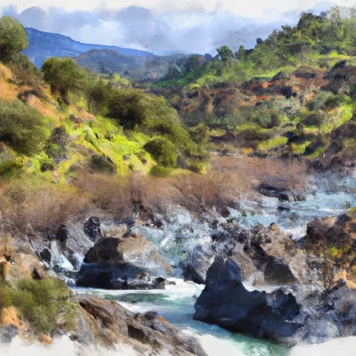
Clear Lake Dike 1, located in Modoc County, California, is a rockfill dam with a primary purpose of irrigation. Built in 1910 by the Bureau of Reclamation, this structure stands at a height of 13 feet and has a hydraulic height of 6 feet. With a storage capacity of 584,050 acre-feet and a surface area of 23,960 acres, Clear Lake Dike 1 plays a crucial role in managing water resources for agricultural needs in the region.
This dam, situated on the Lost River, is owned and operated by the Bureau of Reclamation and falls under federal jurisdiction. Despite being classified as having a low hazard potential, Clear Lake Dike 1 undergoes regular inspections by the Bureau of Reclamation to ensure its structural integrity and safety. The surrounding area benefits from the controlled water release through a 357-foot uncontrolled spillway, which helps prevent flooding and maintain a stable water supply for irrigation in the region.
As a key component of the water management infrastructure in the area, Clear Lake Dike 1 contributes to the overall sustainability of water resources in Modoc County. With its moderate risk assessment rating and a history dating back over a century, this dam continues to play a vital role in supporting agriculture and maintaining a reliable water supply for the local community.
Plan around the weather
Same NOAA / yr.no feed Snoflo's iOS app uses. Watch the precipitation column on the meteogram -- rain on the basin upstream typically lifts inflow 24-72 hours later.
Next 5 days, hour by hour
Temperature line with weather symbols on top, snow + rain accumulation as columns, humidity as a dotted line.
5-day forecast table
Every 3 hours, broken out across temperature, snow, rain, humidity, and wind. Each cell is colour-coded relative to the column min/max.
| Time | Condition | Temp (°F) | Snow (in) | Rain (in) | Humidity (%) | Wind (mps) | Wind dir |
|---|---|---|---|---|---|---|---|
| Loading detailed forecast… | |||||||
15-day temperature & precipitation
Daily temperatures, snow, and rain projected over the next two weeks.
Nearby streamflow gauges
USGS streamgauges around Clear Lake Dike 1 -- inflows here typically show up in storage 24-72 hours later.
| Streamgauge | Discharge | View |
|---|---|---|
| Pit R Nr Canby Ca | 1 cfs | → |
| Klamath Straits Drain Near Worden | 1 cfs | → |
| Ady Canal At Highway 97 | 18 cfs | → |
| North Canal At Highway 97 | 13 cfs | → |
| Link River At Klamath Falls | 1,200 cfs | → |
| Klamath River At Keno | 659 cfs | → |


About Clear Lake Dike 1
Where does the data for Clear Lake Dike 1 come from?
Structural and regulatory data come from the U.S. Army Corps of Engineers' National Inventory of Dams (NID). Weather forecast comes from NOAA / yr.no -- the same feed Snoflo's iOS app uses.
How often is the report updated?
NID structural data refreshes annually as the Corps publishes updated assessments. The weather forecast refreshes throughout the day.
What does the Low hazard rating mean?
The Corps of Engineers' hazard potential classification grades probable consequences if the dam fails: High = probable loss of human life; Significant = no probable loss of human life but possible economic loss / environmental damage; Low = no probable loss of human life, only minor economic / environmental losses. See the Dam Data Reference card below for the full definitions.
What's "% of normal"?
The current storage value compared to the historical average storage on this calendar day. 100% = right on average; values above 100% mean above-normal storage (wet year); values below mean below-normal (dry year or drought).
Can I get alerts when storage crosses a threshold?
Yes -- alerts are managed in the Snoflo iOS app. Favorite this dam, set a threshold, and you'll get a push the moment conditions cross.
Dam data reference
Condition Assessment
- Satisfactory
- No existing or potential dam safety deficiencies are recognized. Acceptable performance is expected under all loading conditions (static, hydrologic, seismic) in accordance with the minimum applicable state or federal regulatory criteria or tolerable risk guidelines.
- Fair
- No existing dam safety deficiencies are recognized for normal operating conditions. Rare or extreme hydrologic and/or seismic events may result in a dam safety deficiency. Risk may be in the range to take further action.
- Poor
- A dam safety deficiency is recognized for normal operating conditions which may realistically occur. Remedial action is necessary. POOR may also be used when uncertainties exist as to critical analysis parameters which identify a potential dam safety deficiency.
- Unsatisfactory
- A dam safety deficiency is recognized that requires immediate or emergency remedial action for problem resolution.
- Not Rated
- The dam has not been inspected, is not under state or federal jurisdiction, or has been inspected but, for whatever reason, has not been rated.
Hazard Potential Classification
- High
- Dams assigned the high hazard potential classification are those where failure or mis-operation will probably cause loss of human life.
- Significant
- Dams assigned the significant hazard potential classification are those dams where failure or mis-operation results in no probable loss of human life but can cause economic loss, environmental damage, disruption of lifeline facilities, or impact other concerns. Significant hazard potential classification dams are often located in predominantly rural or agricultural areas but could be in areas with population and significant infrastructure.
- Low
- Dams assigned the low hazard potential classification are those where failure or mis-operation results in no probable loss of human life and low economic and/or environmental losses. Losses are principally limited to the owner's property.
- Undetermined
- Dams for which a downstream hazard potential has not been designated or is not provided.