Jackson Gulch Dam

Jackson Gulch
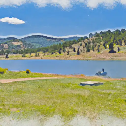
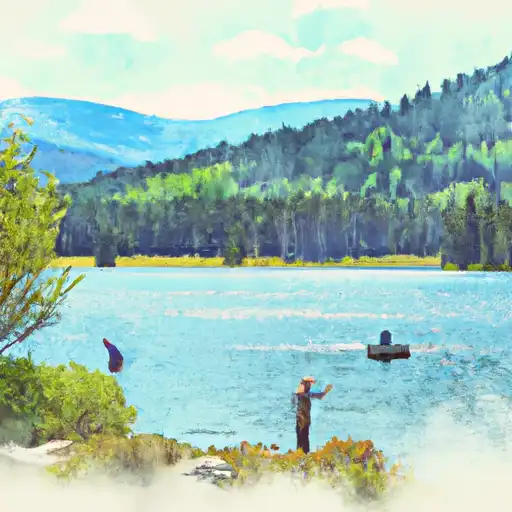
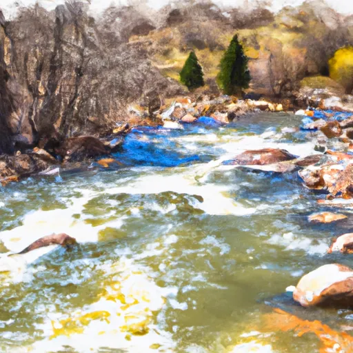
Jackson Gulch, located in Montezuma County, Colorado, is a Federal-owned water resource managed by the Bureau of Reclamation for irrigation purposes. Completed in 1948, this earth dam stands at a height of 180 feet and has a storage capacity of 9950 acre-feet. The reservoir, situated on the West Mancos River OS, covers an area of 217 acres and serves as a vital source of water supply for the surrounding area.
With a hazard potential classified as high and a risk assessment rating of 2, Jackson Gulch is subject to regular inspections by the Bureau of Reclamation to ensure its structural integrity and safety. Despite lacking a spillway, the dam remains a crucial component in the region's water management system, providing irrigation water, recreational opportunities, and water supply. The dam's condition assessment is currently listed as "Not Available," highlighting the need for continued monitoring and risk management measures to safeguard the community and environment.
For water resource and climate enthusiasts, Jackson Gulch presents a fascinating example of water infrastructure in the arid landscape of Colorado. Its presence not only supports agricultural activities but also underscores the importance of responsible water management in the face of changing climatic conditions. As discussions around water scarcity and sustainability continue to gain prominence, Jackson Gulch serves as a reminder of the intricate relationship between water resources, infrastructure, and the environment.
Plan around the weather
Same NOAA / yr.no feed Snoflo's iOS app uses. Watch the precipitation column on the meteogram -- rain on the basin upstream typically lifts inflow 24-72 hours later.
Next 5 days, hour by hour
Temperature line with weather symbols on top, snow + rain accumulation as columns, humidity as a dotted line.
5-day forecast table
Every 3 hours, broken out across temperature, snow, rain, humidity, and wind. Each cell is colour-coded relative to the column min/max.
| Time | Condition | Temp (°F) | Snow (in) | Rain (in) | Humidity (%) | Wind (mps) | Wind dir |
|---|---|---|---|---|---|---|---|
| Loading detailed forecast… | |||||||
15-day temperature & precipitation
Daily temperatures, snow, and rain projected over the next two weeks.
Nearby streamflow gauges
USGS streamgauges around Jackson Gulch -- inflows here typically show up in storage 24-72 hours later.
| Streamgauge | Discharge | View |
|---|---|---|
| Lost Canyon Creek Near Dolores | · | → |
| Dolores River At Dolores | 125 cfs | → |
| La Plata River At Hesperus | 5 cfs | → |
| Dolores River Below Rico | 32 cfs | → |
| Mud Creek At State Highway 32 | 12 cfs | → |
| Animas River At Durango | 182 cfs | → |


About Jackson Gulch
Where does the data for Jackson Gulch come from?
Structural and regulatory data come from the U.S. Army Corps of Engineers' National Inventory of Dams (NID). Weather forecast comes from NOAA / yr.no -- the same feed Snoflo's iOS app uses.
How often is the report updated?
NID structural data refreshes annually as the Corps publishes updated assessments. The weather forecast refreshes throughout the day.
What does the High hazard rating mean?
The Corps of Engineers' hazard potential classification grades probable consequences if the dam fails: High = probable loss of human life; Significant = no probable loss of human life but possible economic loss / environmental damage; Low = no probable loss of human life, only minor economic / environmental losses. See the Dam Data Reference card below for the full definitions.
What's "% of normal"?
The current storage value compared to the historical average storage on this calendar day. 100% = right on average; values above 100% mean above-normal storage (wet year); values below mean below-normal (dry year or drought).
Can I get alerts when storage crosses a threshold?
Yes -- alerts are managed in the Snoflo iOS app. Favorite this dam, set a threshold, and you'll get a push the moment conditions cross.
Dam data reference
Condition Assessment
- Satisfactory
- No existing or potential dam safety deficiencies are recognized. Acceptable performance is expected under all loading conditions (static, hydrologic, seismic) in accordance with the minimum applicable state or federal regulatory criteria or tolerable risk guidelines.
- Fair
- No existing dam safety deficiencies are recognized for normal operating conditions. Rare or extreme hydrologic and/or seismic events may result in a dam safety deficiency. Risk may be in the range to take further action.
- Poor
- A dam safety deficiency is recognized for normal operating conditions which may realistically occur. Remedial action is necessary. POOR may also be used when uncertainties exist as to critical analysis parameters which identify a potential dam safety deficiency.
- Unsatisfactory
- A dam safety deficiency is recognized that requires immediate or emergency remedial action for problem resolution.
- Not Rated
- The dam has not been inspected, is not under state or federal jurisdiction, or has been inspected but, for whatever reason, has not been rated.
Hazard Potential Classification
- High
- Dams assigned the high hazard potential classification are those where failure or mis-operation will probably cause loss of human life.
- Significant
- Dams assigned the significant hazard potential classification are those dams where failure or mis-operation results in no probable loss of human life but can cause economic loss, environmental damage, disruption of lifeline facilities, or impact other concerns. Significant hazard potential classification dams are often located in predominantly rural or agricultural areas but could be in areas with population and significant infrastructure.
- Low
- Dams assigned the low hazard potential classification are those where failure or mis-operation results in no probable loss of human life and low economic and/or environmental losses. Losses are principally limited to the owner's property.
- Undetermined
- Dams for which a downstream hazard potential has not been designated or is not provided.