Camp Alexander Dam

Camp Alexander
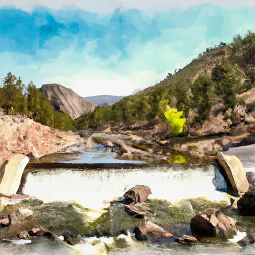
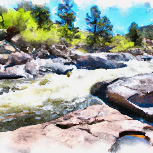
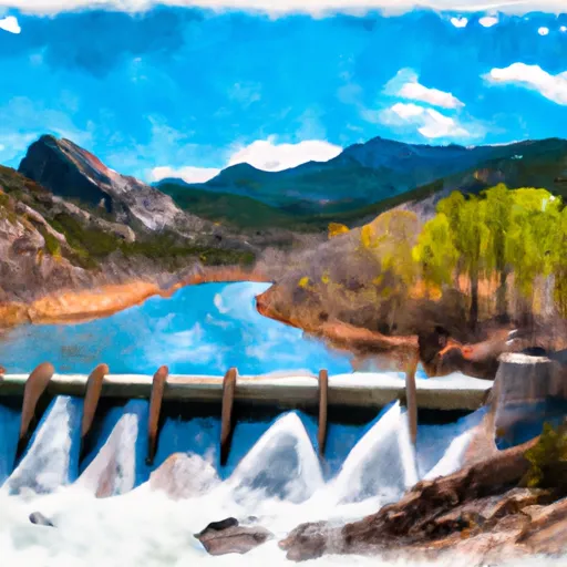
Nestled in the picturesque Park County, Colorado, Camp Alexander is a private recreational facility situated along the tranquil Rankin Gulch. Built in 1964, this earthen dam stands at a height of 24 feet, with a structural height of 43 feet, providing a serene surface area of 3 acres for outdoor enthusiasts to enjoy. With a maximum storage capacity of 35 acre-feet and a normal storage of 25 acre-feet, this dam offers a peaceful retreat for visitors seeking to immerse themselves in nature.
Managed by the USDA NRCS, Camp Alexander boasts a low hazard potential and fair condition assessment, with the last inspection conducted in June 2018. The dam's uncontrolled spillway, with a width of 40 feet, enhances its safety features. Located just 3 miles from Lake George, this recreational haven offers a variety of water-based activities for guests to enjoy, all while being regulated and inspected by the Colorado Department of Water Resources. With a moderate risk assessment rating, Camp Alexander continues to provide a safe and enjoyable experience for water resource and climate enthusiasts alike.
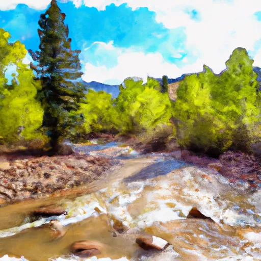
Visitors to Camp Alexander can rest assured knowing that this well-maintained facility meets regulatory guidelines and is equipped with emergency management measures. The dam's risk management protocols ensure the safety of all who visit, while the surrounding area offers ample opportunities for exploration and outdoor adventure. Whether it's fishing, boating, or simply relaxing by the water's edge, Camp Alexander is a must-visit destination for those seeking a harmonious blend of natural beauty and recreational fun in the heart of Colorado's stunning landscape.
Plan around the weather
Same NOAA / yr.no feed Snoflo's iOS app uses. Watch the precipitation column on the meteogram -- rain on the basin upstream typically lifts inflow 24-72 hours later.
Next 5 days, hour by hour
Temperature line with weather symbols on top, snow + rain accumulation as columns, humidity as a dotted line.
5-day forecast table
Every 3 hours, broken out across temperature, snow, rain, humidity, and wind. Each cell is colour-coded relative to the column min/max.
| Time | Condition | Temp (°F) | Snow (in) | Rain (in) | Humidity (%) | Wind (mps) | Wind dir |
|---|---|---|---|---|---|---|---|
| Loading detailed forecast… | |||||||
15-day temperature & precipitation
Daily temperatures, snow, and rain projected over the next two weeks.
Nearby streamflow gauges
USGS streamgauges around Camp Alexander -- inflows here typically show up in storage 24-72 hours later.
| Streamgauge | Discharge | View |
|---|---|---|
| South Platte River Near Lake George | 101 cfs | → |
| S Platte R Ab 11-Mile Canyon Re | 93 cfs | → |
| South Platte River Above Cheesman Lake | 108 cfs | → |
| West Cr. Abv Shrewsbury Gulch Nr Westcreek Co | 1 cfs | → |
| South Platte River Below Cheesman Lake | 239 cfs | → |
| Trout Creek Blw Fern Cr Nr Westcreek | 1 cfs | → |


About Camp Alexander
Where does the data for Camp Alexander come from?
Structural and regulatory data come from the U.S. Army Corps of Engineers' National Inventory of Dams (NID). Weather forecast comes from NOAA / yr.no -- the same feed Snoflo's iOS app uses.
How often is the report updated?
NID structural data refreshes annually as the Corps publishes updated assessments. The weather forecast refreshes throughout the day.
What does the Low hazard rating mean?
The Corps of Engineers' hazard potential classification grades probable consequences if the dam fails: High = probable loss of human life; Significant = no probable loss of human life but possible economic loss / environmental damage; Low = no probable loss of human life, only minor economic / environmental losses. See the Dam Data Reference card below for the full definitions.
What's "% of normal"?
The current storage value compared to the historical average storage on this calendar day. 100% = right on average; values above 100% mean above-normal storage (wet year); values below mean below-normal (dry year or drought).
Can I get alerts when storage crosses a threshold?
Yes -- alerts are managed in the Snoflo iOS app. Favorite this dam, set a threshold, and you'll get a push the moment conditions cross.
Dam data reference
Condition Assessment
- Satisfactory
- No existing or potential dam safety deficiencies are recognized. Acceptable performance is expected under all loading conditions (static, hydrologic, seismic) in accordance with the minimum applicable state or federal regulatory criteria or tolerable risk guidelines.
- Fair
- No existing dam safety deficiencies are recognized for normal operating conditions. Rare or extreme hydrologic and/or seismic events may result in a dam safety deficiency. Risk may be in the range to take further action.
- Poor
- A dam safety deficiency is recognized for normal operating conditions which may realistically occur. Remedial action is necessary. POOR may also be used when uncertainties exist as to critical analysis parameters which identify a potential dam safety deficiency.
- Unsatisfactory
- A dam safety deficiency is recognized that requires immediate or emergency remedial action for problem resolution.
- Not Rated
- The dam has not been inspected, is not under state or federal jurisdiction, or has been inspected but, for whatever reason, has not been rated.
Hazard Potential Classification
- High
- Dams assigned the high hazard potential classification are those where failure or mis-operation will probably cause loss of human life.
- Significant
- Dams assigned the significant hazard potential classification are those dams where failure or mis-operation results in no probable loss of human life but can cause economic loss, environmental damage, disruption of lifeline facilities, or impact other concerns. Significant hazard potential classification dams are often located in predominantly rural or agricultural areas but could be in areas with population and significant infrastructure.
- Low
- Dams assigned the low hazard potential classification are those where failure or mis-operation results in no probable loss of human life and low economic and/or environmental losses. Losses are principally limited to the owner's property.
- Undetermined
- Dams for which a downstream hazard potential has not been designated or is not provided.