


Como Reservoir Report
Last Updated: May 3, 2026
°F
°F
mph
Wind
%
Humidity
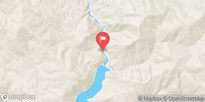
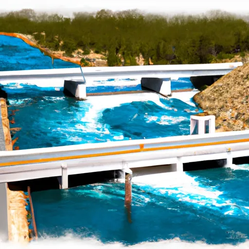
Como is a significant earth dam located in Ravalli, Montana, constructed in 1910 by the Bureau of Reclamation for irrigation purposes along the Rock Creek River.
Summary
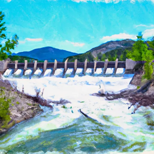
It stands at a height of 70 feet with a structural height of 85 feet and a length of 2550 feet, providing a storage capacity of 40,700 acre-feet. The dam has a spillway width of 75 feet and a maximum discharge of 8000 cubic feet per second, making it a crucial water resource for the region.
Despite its age, Como has been modified in 1997 for foundation, hydraulic, seismic, and structural enhancements. The dam is classified as high hazard potential due to its location and impact in case of failure, with a moderate risk assessment rating. While its condition assessment is currently unavailable, Como remains under the jurisdiction and operation of the Bureau of Reclamation, ensuring its continued maintenance and safety. Water resource and climate enthusiasts can appreciate Como's historical significance and ongoing role in supporting irrigation and water management in the area.
Regional Streamflow Levels
15-Day Long Term Forecast
Years Modified |
1997 - Foundation, 1997 - Hydraulic, 1997 - Other, 1997 - Seismic, 1997 - Structural |
Year Completed |
1910 |
Dam Length |
2550 |
Dam Height |
70 |
River Or Stream |
ROCK CREEK |
Primary Dam Type |
Earth |
Surface Area |
976 |
Hydraulic Height |
62 |
Drainage Area |
55 |
Nid Storage |
40700 |
Structural Height |
85 |
Hazard Potential |
High |
Nid Height |
85 |
Seasonal Comparison
5-Day Hourly Forecast Detail
Dam Data Reference
Condition Assessment
SatisfactoryNo existing or potential dam safety deficiencies are recognized. Acceptable performance is expected under all loading conditions (static, hydrologic, seismic) in accordance with the minimum applicable state or federal regulatory criteria or tolerable risk guidelines.
Fair
No existing dam safety deficiencies are recognized for normal operating conditions. Rare or extreme hydrologic and/or seismic events may result in a dam safety deficiency. Risk may be in the range to take further action. Note: Rare or extreme event is defined by the regulatory agency based on their minimum
Poor A dam safety deficiency is recognized for normal operating conditions which may realistically occur. Remedial action is necessary. POOR may also be used when uncertainties exist as to critical analysis parameters which identify a potential dam safety deficiency. Investigations and studies are necessary.
Unsatisfactory
A dam safety deficiency is recognized that requires immediate or emergency remedial action for problem resolution.
Not Rated
The dam has not been inspected, is not under state or federal jurisdiction, or has been inspected but, for whatever reason, has not been rated.
Not Available
Dams for which the condition assessment is restricted to approved government users.
Hazard Potential Classification
HighDams assigned the high hazard potential classification are those where failure or mis-operation will probably cause loss of human life.
Significant
Dams assigned the significant hazard potential classification are those dams where failure or mis-operation results in no probable loss of human life but can cause economic loss, environment damage, disruption of lifeline facilities, or impact other concerns. Significant hazard potential classification dams are often located in predominantly rural or agricultural areas but could be in areas with population and significant infrastructure.
Low
Dams assigned the low hazard potential classification are those where failure or mis-operation results in no probable loss of human life and low economic and/or environmental losses. Losses are principally limited to the owner's property.
Undetermined
Dams for which a downstream hazard potential has not been designated or is not provided.
Not Available
Dams for which the downstream hazard potential is restricted to approved government users.
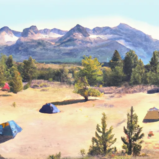
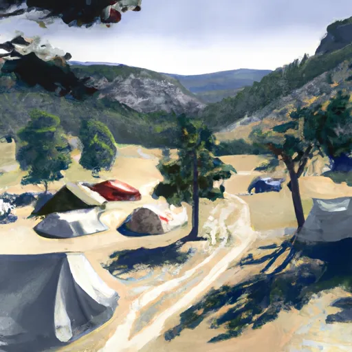
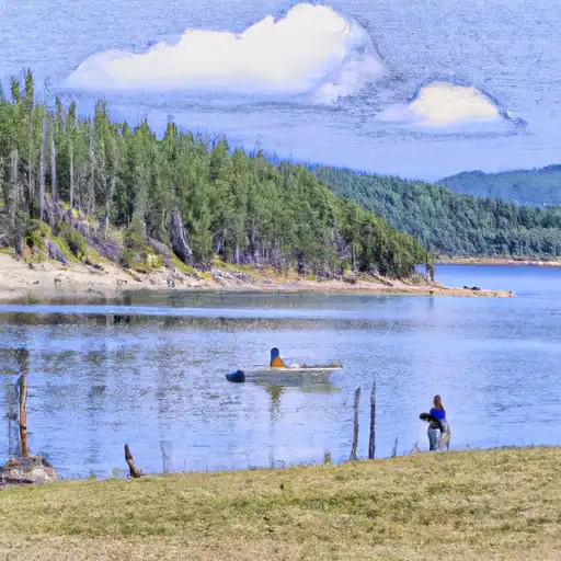
Area Campgrounds
| Location | Reservations | Toilets |
|---|---|---|
 Three Sisters Group Site
|
||
 Three Sisters Group Site Campground
|
||
 Lake Como Campground
|
||
 Lake Como
|
||
 Rock Creek Horse Camp
|
||
 Wood's Cabin
|
Nearby Reservoirs
 Lake Como Road Ravalli County
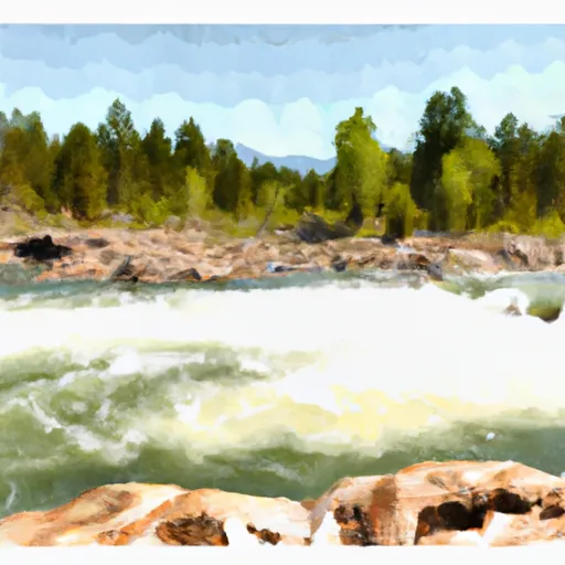
River Runs
-
 Lick Creek Bridge, Sec. 18, T4N, R21W To Bear Creek Pass, Sec. 5, T4N, R23W And Twin Lakes Dam, Sec. 29, T5N, R23W
-
 West Side Blodgett Campground, Sec. 17, T6N, R21W To Bitterroot Forest Boundary, Sec. 17, T6N, R21W
-
 S-B Boundary, Sec. 17, T6N, R21W To Westside Of Blodgett Campground, Sec. 17, T6N, R22W
-
 Blodgett Lake Dam, Sec. 27, T6N, R23W To S-B Wilderness Boundary, Sec. 17, T6N, R21W
-
 Nez Perce Fork Bitterroot River, Sec. 26, T1S, R22W To Painted Rocks Dam, Sec. 26, T1S, R22W
-
 Paradise to Selway Falls
 Burnt Fork Lake
 Blue Joint Creek
 Burnt Fork Bitterroot River
 Bass Creek
 Comers Point Fishing Access