


Upper Twin Lakes Reservoir Report
Last Updated: May 3, 2026
Nearby: Lower Twin Lakes Upper Bear Dam
°F
°F
mph
Wind
%
Humidity
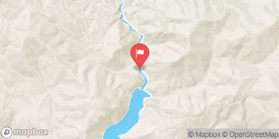
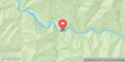
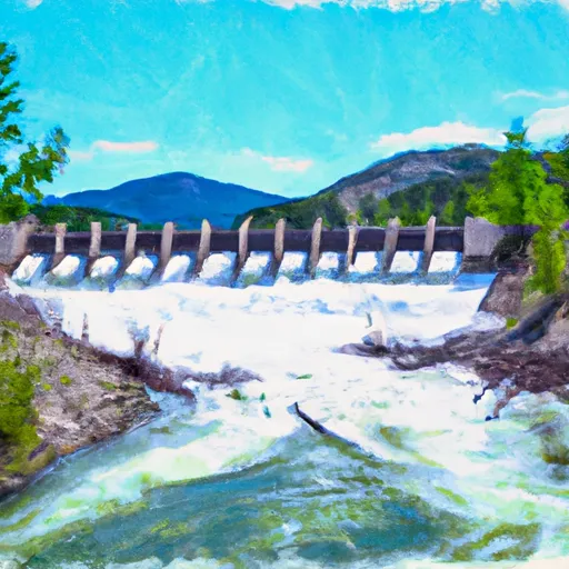
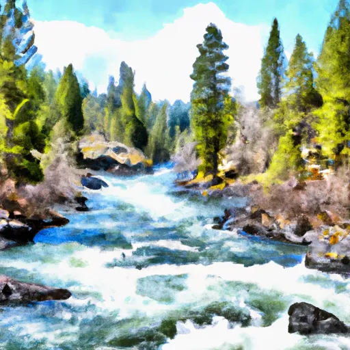
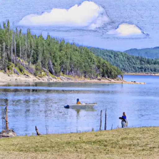
Upper Twin Lakes, located in Ravalli County, Montana, is a man-made reservoir primarily used for irrigation purposes.
Summary
Constructed in 1964 by the USDA NRCS, this earth dam stands at a height of 14 feet and has a storage capacity of 220 acre-feet. The dam spans 450 feet in length and is situated on Lost Horse Creek, with a surface area of 31 acres and a drainage area of 1 square mile.
Despite being regulated by the DNRC and rated as having low hazard potential, Upper Twin Lakes has not undergone a recent condition assessment. The spillway, with a width of 13 feet, is uncontrolled, and the dam is categorized as having a moderate risk level. The last inspection dates back to 1989, raising questions about the current state of the dam's infrastructure and safety measures. With its picturesque location and historical significance, Upper Twin Lakes presents an opportunity for further exploration and evaluation by water resource and climate enthusiasts.
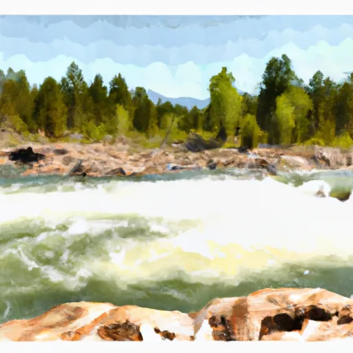
Regional Streamflow Levels
15-Day Long Term Forecast
Year Completed |
1964 |
Dam Length |
450 |
Dam Height |
14 |
River Or Stream |
LOST HORSE CREEK |
Primary Dam Type |
Earth |
Surface Area |
31 |
Hydraulic Height |
14 |
Drainage Area |
1 |
Nid Storage |
220 |
Structural Height |
14 |
Hazard Potential |
Low |
Nid Height |
14 |
Seasonal Comparison
5-Day Hourly Forecast Detail
Dam Data Reference
Condition Assessment
SatisfactoryNo existing or potential dam safety deficiencies are recognized. Acceptable performance is expected under all loading conditions (static, hydrologic, seismic) in accordance with the minimum applicable state or federal regulatory criteria or tolerable risk guidelines.
Fair
No existing dam safety deficiencies are recognized for normal operating conditions. Rare or extreme hydrologic and/or seismic events may result in a dam safety deficiency. Risk may be in the range to take further action. Note: Rare or extreme event is defined by the regulatory agency based on their minimum
Poor A dam safety deficiency is recognized for normal operating conditions which may realistically occur. Remedial action is necessary. POOR may also be used when uncertainties exist as to critical analysis parameters which identify a potential dam safety deficiency. Investigations and studies are necessary.
Unsatisfactory
A dam safety deficiency is recognized that requires immediate or emergency remedial action for problem resolution.
Not Rated
The dam has not been inspected, is not under state or federal jurisdiction, or has been inspected but, for whatever reason, has not been rated.
Not Available
Dams for which the condition assessment is restricted to approved government users.
Hazard Potential Classification
HighDams assigned the high hazard potential classification are those where failure or mis-operation will probably cause loss of human life.
Significant
Dams assigned the significant hazard potential classification are those dams where failure or mis-operation results in no probable loss of human life but can cause economic loss, environment damage, disruption of lifeline facilities, or impact other concerns. Significant hazard potential classification dams are often located in predominantly rural or agricultural areas but could be in areas with population and significant infrastructure.
Low
Dams assigned the low hazard potential classification are those where failure or mis-operation results in no probable loss of human life and low economic and/or environmental losses. Losses are principally limited to the owner's property.
Undetermined
Dams for which a downstream hazard potential has not been designated or is not provided.
Not Available
Dams for which the downstream hazard potential is restricted to approved government users.
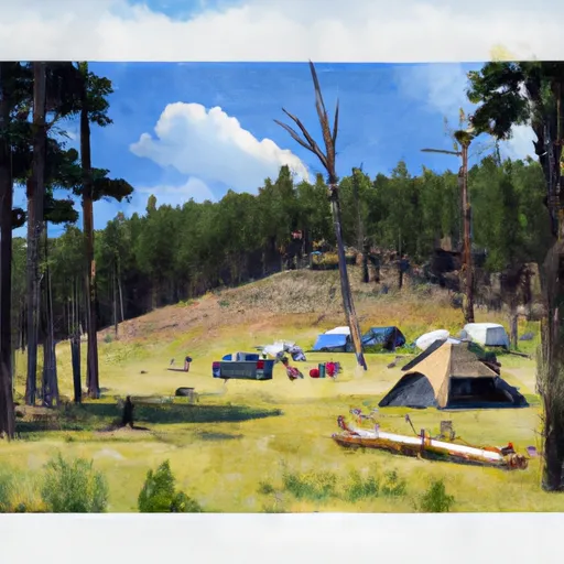
Area Campgrounds
| Location | Reservations | Toilets |
|---|---|---|
 Schumaker
|
||
 Schumaker Campground
|
||
 Bear Creek Pass Campground
|
||
 Elk Summit Campground
|
||
 Elk Summit
|
||
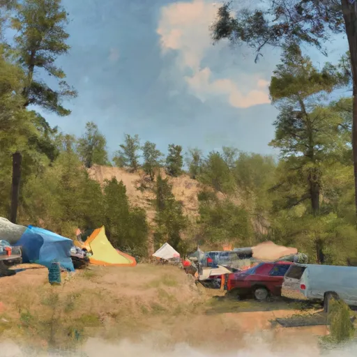 Three Frogs Campground
|
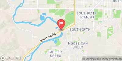
Nearby Reservoirs
 Lake Como Road Ravalli County
River Runs
-
 Blodgett Lake Dam, Sec. 27, T6N, R23W To S-B Wilderness Boundary, Sec. 17, T6N, R21W
-
 Lick Creek Bridge, Sec. 18, T4N, R21W To Bear Creek Pass, Sec. 5, T4N, R23W And Twin Lakes Dam, Sec. 29, T5N, R23W
-
 S-B Boundary, Sec. 17, T6N, R21W To Westside Of Blodgett Campground, Sec. 17, T6N, R22W
-
 West Side Blodgett Campground, Sec. 17, T6N, R21W To Bitterroot Forest Boundary, Sec. 17, T6N, R21W
-
 Selway River, Sec. 16, T31N, R13E To Headwaters
-
 32nd Street to Smelter
 Burnt Fork Lake
 Blue Joint Creek
 Burnt Fork Bitterroot River
 Bass Creek
 Fenn Pond