Sharp Reservoir dam

Sharp Reservoir
Sharp Reservoir, located in Ravalli County, Montana, is a privately owned offstream reservoir that serves primarily for irrigation purposes. With a dam height of 22 feet and a storage capacity of 105 acre-feet, it was completed in 1960 and has a normal storage level of 80 acre-feet. The reservoir is situated along Eightmile Creek and covers a surface area of 2300 feet, providing essential water resources for agricultural activities in the region.
Managed by the Montana Department of Natural Resources and Conservation (DNRC), Sharp Reservoir is subject to state regulations and inspections to ensure its safety and functionality. The dam has a high hazard potential but is currently assessed as satisfactory, with the last inspection conducted in November 2021. The reservoir's emergency action plan is up to date, and measures are in place to mitigate potential risks and ensure the safety of surrounding communities in case of emergencies.
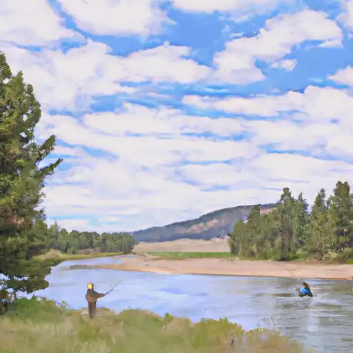
In addition to its irrigation purposes, Sharp Reservoir also offers recreational opportunities for visitors to enjoy. With its picturesque location in the Missoula area and proximity to Congressional District 00, Montana, the reservoir serves as a valuable water resource and a vital component of the local ecosystem for both humans and wildlife alike.
Plan around the weather
Same NOAA / yr.no feed Snoflo's iOS app uses. Watch the precipitation column on the meteogram -- rain on the basin upstream typically lifts inflow 24-72 hours later.
Next 5 days, hour by hour
Temperature line with weather symbols on top, snow + rain accumulation as columns, humidity as a dotted line.
5-day forecast table
Every 3 hours, broken out across temperature, snow, rain, humidity, and wind. Each cell is colour-coded relative to the column min/max.
| Time | Condition | Temp (°F) | Snow (in) | Rain (in) | Humidity (%) | Wind (mps) | Wind dir |
|---|---|---|---|---|---|---|---|
| Loading detailed forecast… | |||||||
15-day temperature & precipitation
Daily temperatures, snow, and rain projected over the next two weeks.
Nearby streamflow gauges
USGS streamgauges around Sharp Reservoir -- inflows here typically show up in storage 24-72 hours later.
| Streamgauge | Discharge | View |
|---|---|---|
| Bitterroot River Near Missoula Mt | 1,830 cfs | → |
| Bitterroot River At Bell Crossing Nr Victor Mt | 814 cfs | → |
| Clark Fork At Turah Bridge Nr Bonner Mt | 1,200 cfs | → |
| Rock Creek Near Clinton Mt | 618 cfs | → |
| Clark Fork Below Missoula Mt | 4,430 cfs | → |
| Clark Fork Above Missoula Mt | 2,650 cfs | → |
Make a day of it
Boat launches, lakeside camping, fishing access, and other reservoirs near Sharp Reservoir.
Boat launches
See all →


Campgrounds
See all →


Fishing spots
See all →


River runs
See all →


About Sharp Reservoir
Where does the data for Sharp Reservoir come from?
Structural and regulatory data come from the U.S. Army Corps of Engineers' National Inventory of Dams (NID). Weather forecast comes from NOAA / yr.no -- the same feed Snoflo's iOS app uses.
How often is the report updated?
NID structural data refreshes annually as the Corps publishes updated assessments. The weather forecast refreshes throughout the day.
What does the High hazard rating mean?
The Corps of Engineers' hazard potential classification grades probable consequences if the dam fails: High = probable loss of human life; Significant = no probable loss of human life but possible economic loss / environmental damage; Low = no probable loss of human life, only minor economic / environmental losses. See the Dam Data Reference card below for the full definitions.
What's "% of normal"?
The current storage value compared to the historical average storage on this calendar day. 100% = right on average; values above 100% mean above-normal storage (wet year); values below mean below-normal (dry year or drought).
Can I get alerts when storage crosses a threshold?
Yes -- alerts are managed in the Snoflo iOS app. Favorite this dam, set a threshold, and you'll get a push the moment conditions cross.
Dam data reference
Condition Assessment
- Satisfactory
- No existing or potential dam safety deficiencies are recognized. Acceptable performance is expected under all loading conditions (static, hydrologic, seismic) in accordance with the minimum applicable state or federal regulatory criteria or tolerable risk guidelines.
- Fair
- No existing dam safety deficiencies are recognized for normal operating conditions. Rare or extreme hydrologic and/or seismic events may result in a dam safety deficiency. Risk may be in the range to take further action.
- Poor
- A dam safety deficiency is recognized for normal operating conditions which may realistically occur. Remedial action is necessary. POOR may also be used when uncertainties exist as to critical analysis parameters which identify a potential dam safety deficiency.
- Unsatisfactory
- A dam safety deficiency is recognized that requires immediate or emergency remedial action for problem resolution.
- Not Rated
- The dam has not been inspected, is not under state or federal jurisdiction, or has been inspected but, for whatever reason, has not been rated.
Hazard Potential Classification
- High
- Dams assigned the high hazard potential classification are those where failure or mis-operation will probably cause loss of human life.
- Significant
- Dams assigned the significant hazard potential classification are those dams where failure or mis-operation results in no probable loss of human life but can cause economic loss, environmental damage, disruption of lifeline facilities, or impact other concerns. Significant hazard potential classification dams are often located in predominantly rural or agricultural areas but could be in areas with population and significant infrastructure.
- Low
- Dams assigned the low hazard potential classification are those where failure or mis-operation results in no probable loss of human life and low economic and/or environmental losses. Losses are principally limited to the owner's property.
- Undetermined
- Dams for which a downstream hazard potential has not been designated or is not provided.