Johnson Log Sorting Pond Dam

Johnson Log Sorting Pond
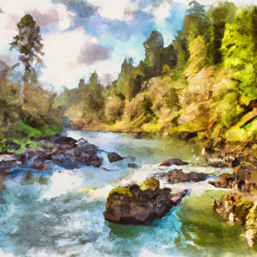
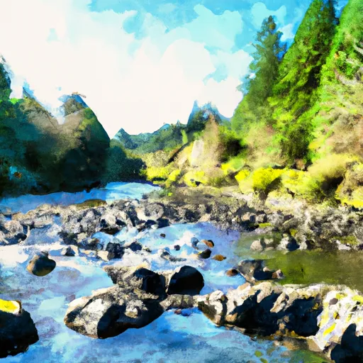
Johnson Log Sorting Pond, located in Coquille, Oregon, is a state-owned structure managed by the Oregon Water Resources Department. This Earth-type dam, completed in 1951, stands at a height of 11 feet and serves as a vital component in the Coquille River watershed. With a storage capacity of 491 acre-feet and a surface area of 82 acres, the pond plays a crucial role in water resource management and log sorting activities in the region.
The dam, with a structural height of 12.5 feet and a hydraulic height of 9 feet, features a slide (sluice gate) outlet gate for water release. Despite being classified as a low hazard potential structure, Johnson Log Sorting Pond is subject to regular inspections by state regulatory agencies to ensure its safety and functionality. With a history dating back to the mid-20th century, this pond continues to play a significant role in the local ecosystem and water management practices.
Situated within the Portland District of the US Army Corps of Engineers, Johnson Log Sorting Pond remains a key feature in the Coquille River landscape. As climate change impacts water resources worldwide, structures like this play a crucial role in maintaining water quality, quantity, and flow for both human and environmental needs. Climate enthusiasts and water resource professionals alike can appreciate the importance of this state-regulated dam in sustaining the delicate balance of the Coquille River ecosystem.
Plan around the weather
Same NOAA / yr.no feed Snoflo's iOS app uses. Watch the precipitation column on the meteogram -- rain on the basin upstream typically lifts inflow 24-72 hours later.
Next 5 days, hour by hour
Temperature line with weather symbols on top, snow + rain accumulation as columns, humidity as a dotted line.
5-day forecast table
Every 3 hours, broken out across temperature, snow, rain, humidity, and wind. Each cell is colour-coded relative to the column min/max.
| Time | Condition | Temp (°F) | Snow (in) | Rain (in) | Humidity (%) | Wind (mps) | Wind dir |
|---|---|---|---|---|---|---|---|
| Loading detailed forecast… | |||||||
15-day temperature & precipitation
Daily temperatures, snow, and rain projected over the next two weeks.
Nearby streamflow gauges
USGS streamgauges around Johnson Log Sorting Pond -- inflows here typically show up in storage 24-72 hours later.
| Streamgauge | Discharge | View |
|---|---|---|
| South Fork Coquille River At Powers | 44 cfs | → |
| Little Wolf Creek Near Tyee | 0 cfs | → |
| West Fork Cow Creek Near Glendale | 5 cfs | → |
| Rogue River Near Agness | 1,410 cfs | → |
| South Umpqua River Near Brockway | 70 cfs | → |
| North Umpqua River At Winchester | 744 cfs | → |
Make a day of it
Boat launches, lakeside camping, fishing access, and other reservoirs near Johnson Log Sorting Pond.
Boat launches
See all →


Campgrounds
See all →


Fishing spots
See all →

River runs
See all →


About Johnson Log Sorting Pond
Where does the data for Johnson Log Sorting Pond come from?
Structural and regulatory data come from the U.S. Army Corps of Engineers' National Inventory of Dams (NID). Weather forecast comes from NOAA / yr.no -- the same feed Snoflo's iOS app uses.
How often is the report updated?
NID structural data refreshes annually as the Corps publishes updated assessments. The weather forecast refreshes throughout the day.
What does the Low hazard rating mean?
The Corps of Engineers' hazard potential classification grades probable consequences if the dam fails: High = probable loss of human life; Significant = no probable loss of human life but possible economic loss / environmental damage; Low = no probable loss of human life, only minor economic / environmental losses. See the Dam Data Reference card below for the full definitions.
What's "% of normal"?
The current storage value compared to the historical average storage on this calendar day. 100% = right on average; values above 100% mean above-normal storage (wet year); values below mean below-normal (dry year or drought).
Can I get alerts when storage crosses a threshold?
Yes -- alerts are managed in the Snoflo iOS app. Favorite this dam, set a threshold, and you'll get a push the moment conditions cross.
Dam data reference
Condition Assessment
- Satisfactory
- No existing or potential dam safety deficiencies are recognized. Acceptable performance is expected under all loading conditions (static, hydrologic, seismic) in accordance with the minimum applicable state or federal regulatory criteria or tolerable risk guidelines.
- Fair
- No existing dam safety deficiencies are recognized for normal operating conditions. Rare or extreme hydrologic and/or seismic events may result in a dam safety deficiency. Risk may be in the range to take further action.
- Poor
- A dam safety deficiency is recognized for normal operating conditions which may realistically occur. Remedial action is necessary. POOR may also be used when uncertainties exist as to critical analysis parameters which identify a potential dam safety deficiency.
- Unsatisfactory
- A dam safety deficiency is recognized that requires immediate or emergency remedial action for problem resolution.
- Not Rated
- The dam has not been inspected, is not under state or federal jurisdiction, or has been inspected but, for whatever reason, has not been rated.
Hazard Potential Classification
- High
- Dams assigned the high hazard potential classification are those where failure or mis-operation will probably cause loss of human life.
- Significant
- Dams assigned the significant hazard potential classification are those dams where failure or mis-operation results in no probable loss of human life but can cause economic loss, environmental damage, disruption of lifeline facilities, or impact other concerns. Significant hazard potential classification dams are often located in predominantly rural or agricultural areas but could be in areas with population and significant infrastructure.
- Low
- Dams assigned the low hazard potential classification are those where failure or mis-operation results in no probable loss of human life and low economic and/or environmental losses. Losses are principally limited to the owner's property.
- Undetermined
- Dams for which a downstream hazard potential has not been designated or is not provided.