Haberlach Dam Dam

Haberlach Dam
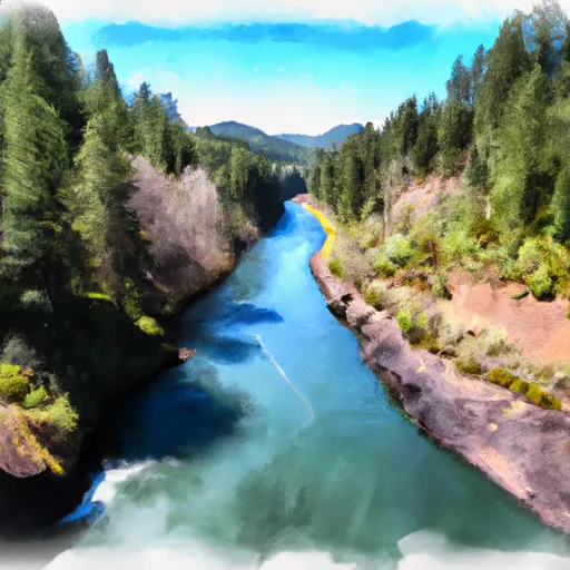
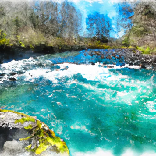
Located in Gladstone, Oregon, the Haberlach Dam, also known as Orchard Lakes Dam, is a private-owned structure regulating the flow of Rock Creek for irrigation purposes. Completed in 1961, this earth dam stands at a height of 22 feet and has a storage capacity of 15 acre-feet. The dam spans 320 feet in length and covers a surface area of 2.75 acres, serving a drainage area of 0.68 square miles.
Managed by the Oregon Water Resources Department (OWRD), the Haberlach Dam is subject to state regulations, inspections, and enforcement measures to ensure its structural integrity and safety. With a significant hazard potential, the dam is inspected every three years to assess its condition, although it is currently not rated. Despite lacking a spillway type and outlet gates, the dam's hydraulic height of 17 feet ensures controlled water release, with a maximum discharge capacity of 100 cubic feet per second.
For water resource and climate enthusiasts, the Haberlach Dam presents an intriguing case study in private dam ownership and management for agricultural irrigation. Its location within the Portland District and proximity to urban centers like Gladstone highlight the importance of sustainable water resource practices in balancing human needs with environmental conservation. As efforts continue to monitor and maintain the dam's safety, the Haberlach Dam serves as a vital infrastructure supporting the local economy and ecosystem along Rock Creek.
Plan around the weather
Same NOAA / yr.no feed Snoflo's iOS app uses. Watch the precipitation column on the meteogram -- rain on the basin upstream typically lifts inflow 24-72 hours later.
Next 5 days, hour by hour
Temperature line with weather symbols on top, snow + rain accumulation as columns, humidity as a dotted line.
5-day forecast table
Every 3 hours, broken out across temperature, snow, rain, humidity, and wind. Each cell is colour-coded relative to the column min/max.
| Time | Condition | Temp (°F) | Snow (in) | Rain (in) | Humidity (%) | Wind (mps) | Wind dir |
|---|---|---|---|---|---|---|---|
| Loading detailed forecast… | |||||||
15-day temperature & precipitation
Daily temperatures, snow, and rain projected over the next two weeks.
Nearby streamflow gauges
USGS streamgauges around Haberlach Dam -- inflows here typically show up in storage 24-72 hours later.
| Streamgauge | Discharge | View |
|---|---|---|
| Clackamas River Near Oregon City | 790 cfs | → |
| Kelley Creek At Se 159th Drive At Portland | 0 cfs | → |
| Johnson Creek At Sycamore | 3 cfs | → |
| Johnson Creek At Regner Road | 2 cfs | → |
| Johnson Creek At Milwaukie | 16 cfs | → |
| Tryon Creek Blw Nettle Creek | 6 cfs | → |


About Haberlach Dam
Where does the data for Haberlach Dam come from?
Structural and regulatory data come from the U.S. Army Corps of Engineers' National Inventory of Dams (NID). Weather forecast comes from NOAA / yr.no -- the same feed Snoflo's iOS app uses.
How often is the report updated?
NID structural data refreshes annually as the Corps publishes updated assessments. The weather forecast refreshes throughout the day.
What does the Significant hazard rating mean?
The Corps of Engineers' hazard potential classification grades probable consequences if the dam fails: High = probable loss of human life; Significant = no probable loss of human life but possible economic loss / environmental damage; Low = no probable loss of human life, only minor economic / environmental losses. See the Dam Data Reference card below for the full definitions.
What's "% of normal"?
The current storage value compared to the historical average storage on this calendar day. 100% = right on average; values above 100% mean above-normal storage (wet year); values below mean below-normal (dry year or drought).
Can I get alerts when storage crosses a threshold?
Yes -- alerts are managed in the Snoflo iOS app. Favorite this dam, set a threshold, and you'll get a push the moment conditions cross.
Dam data reference
Condition Assessment
- Satisfactory
- No existing or potential dam safety deficiencies are recognized. Acceptable performance is expected under all loading conditions (static, hydrologic, seismic) in accordance with the minimum applicable state or federal regulatory criteria or tolerable risk guidelines.
- Fair
- No existing dam safety deficiencies are recognized for normal operating conditions. Rare or extreme hydrologic and/or seismic events may result in a dam safety deficiency. Risk may be in the range to take further action.
- Poor
- A dam safety deficiency is recognized for normal operating conditions which may realistically occur. Remedial action is necessary. POOR may also be used when uncertainties exist as to critical analysis parameters which identify a potential dam safety deficiency.
- Unsatisfactory
- A dam safety deficiency is recognized that requires immediate or emergency remedial action for problem resolution.
- Not Rated
- The dam has not been inspected, is not under state or federal jurisdiction, or has been inspected but, for whatever reason, has not been rated.
Hazard Potential Classification
- High
- Dams assigned the high hazard potential classification are those where failure or mis-operation will probably cause loss of human life.
- Significant
- Dams assigned the significant hazard potential classification are those dams where failure or mis-operation results in no probable loss of human life but can cause economic loss, environmental damage, disruption of lifeline facilities, or impact other concerns. Significant hazard potential classification dams are often located in predominantly rural or agricultural areas but could be in areas with population and significant infrastructure.
- Low
- Dams assigned the low hazard potential classification are those where failure or mis-operation results in no probable loss of human life and low economic and/or environmental losses. Losses are principally limited to the owner's property.
- Undetermined
- Dams for which a downstream hazard potential has not been designated or is not provided.