Ditch Creek Reservoir Dam

Ditch Creek Reservoir
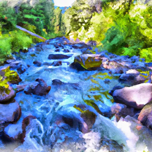
Ditch Creek Reservoir, also known as Penzer Dam, is a privately owned water resource in Jackson County, Oregon. Managed by the GALLI GROUP, this reservoir serves primarily for irrigation purposes and is regulated by the Oregon Water Resources Department. Situated in a picturesque location at coordinates 42.57717895 latitude and -123.1887894 longitude, it is part of the UNNAMED tributary of Pleasant Creek.
With a dam height of 26 feet and a storage capacity of 90 acre-feet, Ditch Creek Reservoir boasts a low hazard potential and has undergone inspections every 6 years as of its last assessment in March 2015. The reservoir features a Needle outlet gate and is considered to have not been rated in terms of its condition assessment. While no major modifications or enhancements have been recorded, the reservoir continues to play a vital role in supporting irrigation needs in the region.
Enthusiasts of water resources and climate will find Ditch Creek Reservoir an intriguing case study of a privately owned water source in Oregon. Its peaceful surroundings, essential role in irrigation, and regulatory oversight by the state make it a compelling subject for further exploration and study in the realm of water management and sustainability.
Plan around the weather
Same NOAA / yr.no feed Snoflo's iOS app uses. Watch the precipitation column on the meteogram -- rain on the basin upstream typically lifts inflow 24-72 hours later.
Next 5 days, hour by hour
Temperature line with weather symbols on top, snow + rain accumulation as columns, humidity as a dotted line.
5-day forecast table
Every 3 hours, broken out across temperature, snow, rain, humidity, and wind. Each cell is colour-coded relative to the column min/max.
| Time | Condition | Temp (°F) | Snow (in) | Rain (in) | Humidity (%) | Wind (mps) | Wind dir |
|---|---|---|---|---|---|---|---|
| Loading detailed forecast… | |||||||
15-day temperature & precipitation
Daily temperatures, snow, and rain projected over the next two weeks.
Nearby streamflow gauges
USGS streamgauges around Ditch Creek Reservoir -- inflows here typically show up in storage 24-72 hours later.
| Streamgauge | Discharge | View |
|---|---|---|
| Rogue River At Grants Pass | 1,210 cfs | → |
| Rogue River At Raygold Near Central Point | 1,390 cfs | → |
| Cow Creek Near Azalea | 39 cfs | → |
| Cow Creek Abv Galesville Res | 6 cfs | → |
| Rogue River At Dodge Bridge | 1,510 cfs | → |
| Applegate River Near Wilderville | 76 cfs | → |


About Ditch Creek Reservoir
Where does the data for Ditch Creek Reservoir come from?
Structural and regulatory data come from the U.S. Army Corps of Engineers' National Inventory of Dams (NID). Weather forecast comes from NOAA / yr.no -- the same feed Snoflo's iOS app uses.
How often is the report updated?
NID structural data refreshes annually as the Corps publishes updated assessments. The weather forecast refreshes throughout the day.
What does the Low hazard rating mean?
The Corps of Engineers' hazard potential classification grades probable consequences if the dam fails: High = probable loss of human life; Significant = no probable loss of human life but possible economic loss / environmental damage; Low = no probable loss of human life, only minor economic / environmental losses. See the Dam Data Reference card below for the full definitions.
What's "% of normal"?
The current storage value compared to the historical average storage on this calendar day. 100% = right on average; values above 100% mean above-normal storage (wet year); values below mean below-normal (dry year or drought).
Can I get alerts when storage crosses a threshold?
Yes -- alerts are managed in the Snoflo iOS app. Favorite this dam, set a threshold, and you'll get a push the moment conditions cross.
Dam data reference
Condition Assessment
- Satisfactory
- No existing or potential dam safety deficiencies are recognized. Acceptable performance is expected under all loading conditions (static, hydrologic, seismic) in accordance with the minimum applicable state or federal regulatory criteria or tolerable risk guidelines.
- Fair
- No existing dam safety deficiencies are recognized for normal operating conditions. Rare or extreme hydrologic and/or seismic events may result in a dam safety deficiency. Risk may be in the range to take further action.
- Poor
- A dam safety deficiency is recognized for normal operating conditions which may realistically occur. Remedial action is necessary. POOR may also be used when uncertainties exist as to critical analysis parameters which identify a potential dam safety deficiency.
- Unsatisfactory
- A dam safety deficiency is recognized that requires immediate or emergency remedial action for problem resolution.
- Not Rated
- The dam has not been inspected, is not under state or federal jurisdiction, or has been inspected but, for whatever reason, has not been rated.
Hazard Potential Classification
- High
- Dams assigned the high hazard potential classification are those where failure or mis-operation will probably cause loss of human life.
- Significant
- Dams assigned the significant hazard potential classification are those dams where failure or mis-operation results in no probable loss of human life but can cause economic loss, environmental damage, disruption of lifeline facilities, or impact other concerns. Significant hazard potential classification dams are often located in predominantly rural or agricultural areas but could be in areas with population and significant infrastructure.
- Low
- Dams assigned the low hazard potential classification are those where failure or mis-operation results in no probable loss of human life and low economic and/or environmental losses. Losses are principally limited to the owner's property.
- Undetermined
- Dams for which a downstream hazard potential has not been designated or is not provided.