


Lake Chelan At Chelan Reservoir Report
Last Updated: May 4, 2026
Nearby: Bear Mountain Dam Mckay Dam
°F
°F
mph
Wind
%
Humidity
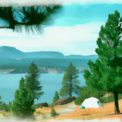
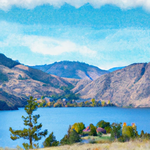
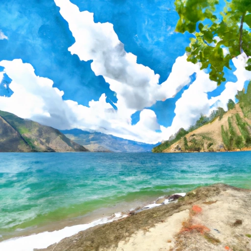
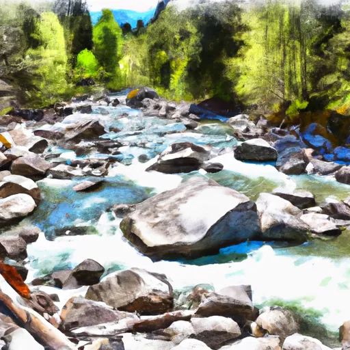
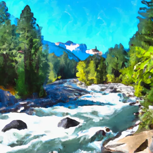
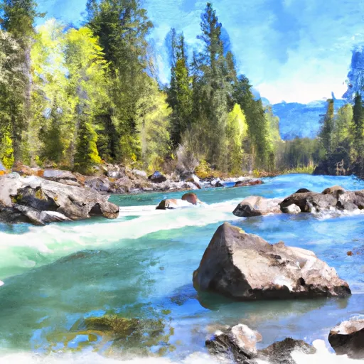
Lake Chelan is a natural lake located in Chelan, Washington, and is approximately 50.5 miles long.
Summary
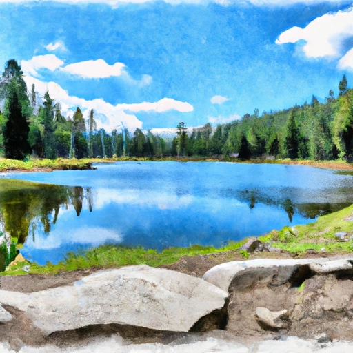
The lake was formed over 10,000 years ago by a glacier and has a maximum depth of 1,486 feet. Lake Chelan is fed by several streams, including the Stehekin River, and is the main source of water for the surrounding area. The lake's hydrology is unique, as it is considered a closed basin, meaning it has no outlet to the sea. The lake's surface flow is regulated by the Chelan River Dam, which produces hydroelectric power. Snowpack providers for the lake are the North Cascades and the Chelan Mountains. The lake supports agricultural activities, including fruit orchards and vineyards. Recreation activities, such as boating, swimming, and fishing, are also popular in the area.
Regional Streamflow Levels
15-Day Long Term Forecast
Reservoir Details
| Elevation Of Reservoir Water Surface Above Datum, Ft 24hr Change | 0.01% |
| Percent of Normal | 100% |
| Minimum |
1,082.68 ft
2008-03-14 |
| Maximum |
1,100.04 ft
2012-07-27 |
| Average | 1,089 ft |
| Dam_Height | 33 |
| Hydraulic_Height | 57 |
| Drainage_Area | 952 |
| Year_Completed | 1927 |
| Nid_Storage | 676100 |
| Structural_Height | 66 |
| River_Or_Stream | Chelan River |
| Foundations | Rock, Soil |
| Surface_Area | 32980 |
| Hazard_Potential | Significant |
| Outlet_Gates | Slide (sluice gate) - 1, Tainter (radial) - 8 |
| Dam_Length | 490 |
| Primary_Dam_Type | Gravity |
| Nid_Height | 66 |
Seasonal Comparison
Elevation Of Reservoir Water Surface Above Datum, Ft Levels
5-Day Hourly Forecast Detail
Dam Data Reference
Condition Assessment
SatisfactoryNo existing or potential dam safety deficiencies are recognized. Acceptable performance is expected under all loading conditions (static, hydrologic, seismic) in accordance with the minimum applicable state or federal regulatory criteria or tolerable risk guidelines.
Fair
No existing dam safety deficiencies are recognized for normal operating conditions. Rare or extreme hydrologic and/or seismic events may result in a dam safety deficiency. Risk may be in the range to take further action. Note: Rare or extreme event is defined by the regulatory agency based on their minimum
Poor A dam safety deficiency is recognized for normal operating conditions which may realistically occur. Remedial action is necessary. POOR may also be used when uncertainties exist as to critical analysis parameters which identify a potential dam safety deficiency. Investigations and studies are necessary.
Unsatisfactory
A dam safety deficiency is recognized that requires immediate or emergency remedial action for problem resolution.
Not Rated
The dam has not been inspected, is not under state or federal jurisdiction, or has been inspected but, for whatever reason, has not been rated.
Not Available
Dams for which the condition assessment is restricted to approved government users.
Hazard Potential Classification
HighDams assigned the high hazard potential classification are those where failure or mis-operation will probably cause loss of human life.
Significant
Dams assigned the significant hazard potential classification are those dams where failure or mis-operation results in no probable loss of human life but can cause economic loss, environment damage, disruption of lifeline facilities, or impact other concerns. Significant hazard potential classification dams are often located in predominantly rural or agricultural areas but could be in areas with population and significant infrastructure.
Low
Dams assigned the low hazard potential classification are those where failure or mis-operation results in no probable loss of human life and low economic and/or environmental losses. Losses are principally limited to the owner's property.
Undetermined
Dams for which a downstream hazard potential has not been designated or is not provided.
Not Available
Dams for which the downstream hazard potential is restricted to approved government users.
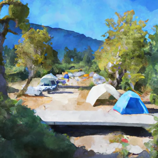
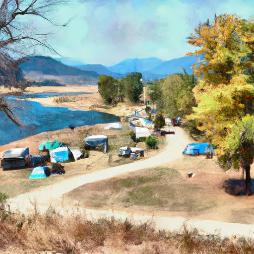
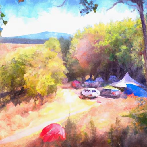
Area Campgrounds
| Location | Reservations | Toilets |
|---|---|---|
 Lakeshore RV Park
|
||
 Beebe Bridge Park
|
||
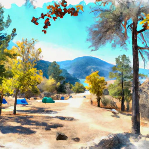 Lake Chelan State Park
|
||
 Antilon Lake Campground
|
||
 Antilon Lake
|
||
 Daroga State Park
|
Nearby Reservoirs
-
Chelan
-
Bear Mountain Dam
-
Mckay Dam
-
Wapato Lake Dam
-
Wells
-
Antilon Lake Dam
-
 Lake Chelan At Chelan
-
 Lake Chelan At Purple Point At Stehekin
-
 Lenore Lk Near Soap Lk
-
 Soap Lk Near Soap Lk
-
 Franklin Roosevelt Lake At Grand Coulee Dam
-
Lake Chelan At Chelan
-
Lake Chelan At Purple Point At Stehekin
-
Lenore Lk Near Soap Lk
-
Soap Lk Near Soap Lk
-
Franklin Roosevelt Lake At Grand Coulee Dam
 Lake Chelan Public Boat Ramp
River Runs
-
 Douglas Creek
-
 Glacier Peak Wilderness Boundary To Confluence With Wenatchee River
-
 Cottonwood Trailhead To Private Land Boundary In Ne1/4 Of Sec 29, T28N, R19E
-
 Point At East Section Line Of Sec 13, T28N, R15E To Lake Wenatchee
-
 Outlet Of Lake Wenatchee To Wenatchee Nf Boundary
-
 Glacier Peak Wilderness To Cottonwood Trailhead In Sw1/4 Of Sec 7, T28N,R19E