Warner Dam No 1 Dam

Warner Dam No 1
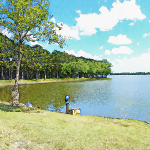
Warner Dam No 1, located in Houston, Texas, stands as a testament to the vital role dams play in our water resource management system. Built in 1957, this private Earth-type dam was primarily designed for irrigation purposes along the Little Creek. With a structural height of 10 feet and a length of 600 feet, Warner Dam No 1 has a storage capacity of 83 acre-feet, providing valuable water resources for agricultural needs in the region.
Despite its age and limited hazard potential, Warner Dam No 1 has not been subject to recent inspections or condition assessments. However, the dam remains a critical component of the local water infrastructure, serving as a reliable source of water for irrigation activities in the area. As climate change continues to impact water resources globally, the importance of maintaining and monitoring dams like Warner Dam No 1 becomes increasingly essential to ensure the sustainability of our water supply for future generations.
As climate enthusiasts and water resource advocates, it is crucial to recognize the significance of structures like Warner Dam No 1 in managing and preserving our water resources. By staying informed about the condition and regulatory status of such dams, we can work towards implementing effective risk management measures and ensuring the continued safety and efficiency of our water infrastructure in the face of changing environmental conditions.
Plan around the weather
Same NOAA / yr.no feed Snoflo's iOS app uses. Watch the precipitation column on the meteogram -- rain on the basin upstream typically lifts inflow 24-72 hours later.
Next 5 days, hour by hour
Temperature line with weather symbols on top, snow + rain accumulation as columns, humidity as a dotted line.
5-day forecast table
Every 3 hours, broken out across temperature, snow, rain, humidity, and wind. Each cell is colour-coded relative to the column min/max.
| Time | Condition | Temp (°F) | Snow (in) | Rain (in) | Humidity (%) | Wind (mps) | Wind dir |
|---|---|---|---|---|---|---|---|
| Loading detailed forecast… | |||||||
15-day temperature & precipitation
Daily temperatures, snow, and rain projected over the next two weeks.
Nearby streamflow gauges
USGS streamgauges around Warner Dam No 1 -- inflows here typically show up in storage 24-72 hours later.
| Streamgauge | Discharge | View |
|---|---|---|
| Trinity Rv Nr Crockett | 5,980 cfs | → |
| Trinity Rv Nr Oakwood | 5,940 cfs | → |
| Upper Keechi Ck Nr Oakwood | 70 cfs | → |
| Neches Rv Nr Neches | 207 cfs | → |
| Angelina Rv Nr Alto | 164 cfs | → |
| Mud Ck Nr Jacksonville | 246 cfs | → |


About Warner Dam No 1
Where does the data for Warner Dam No 1 come from?
Structural and regulatory data come from the U.S. Army Corps of Engineers' National Inventory of Dams (NID). Weather forecast comes from NOAA / yr.no -- the same feed Snoflo's iOS app uses.
How often is the report updated?
NID structural data refreshes annually as the Corps publishes updated assessments. The weather forecast refreshes throughout the day.
What does the Not Available hazard rating mean?
The Corps of Engineers' hazard potential classification grades probable consequences if the dam fails: High = probable loss of human life; Significant = no probable loss of human life but possible economic loss / environmental damage; Low = no probable loss of human life, only minor economic / environmental losses. See the Dam Data Reference card below for the full definitions.
What's "% of normal"?
The current storage value compared to the historical average storage on this calendar day. 100% = right on average; values above 100% mean above-normal storage (wet year); values below mean below-normal (dry year or drought).
Can I get alerts when storage crosses a threshold?
Yes -- alerts are managed in the Snoflo iOS app. Favorite this dam, set a threshold, and you'll get a push the moment conditions cross.
Dam data reference
Condition Assessment
- Satisfactory
- No existing or potential dam safety deficiencies are recognized. Acceptable performance is expected under all loading conditions (static, hydrologic, seismic) in accordance with the minimum applicable state or federal regulatory criteria or tolerable risk guidelines.
- Fair
- No existing dam safety deficiencies are recognized for normal operating conditions. Rare or extreme hydrologic and/or seismic events may result in a dam safety deficiency. Risk may be in the range to take further action.
- Poor
- A dam safety deficiency is recognized for normal operating conditions which may realistically occur. Remedial action is necessary. POOR may also be used when uncertainties exist as to critical analysis parameters which identify a potential dam safety deficiency.
- Unsatisfactory
- A dam safety deficiency is recognized that requires immediate or emergency remedial action for problem resolution.
- Not Rated
- The dam has not been inspected, is not under state or federal jurisdiction, or has been inspected but, for whatever reason, has not been rated.
Hazard Potential Classification
- High
- Dams assigned the high hazard potential classification are those where failure or mis-operation will probably cause loss of human life.
- Significant
- Dams assigned the significant hazard potential classification are those dams where failure or mis-operation results in no probable loss of human life but can cause economic loss, environmental damage, disruption of lifeline facilities, or impact other concerns. Significant hazard potential classification dams are often located in predominantly rural or agricultural areas but could be in areas with population and significant infrastructure.
- Low
- Dams assigned the low hazard potential classification are those where failure or mis-operation results in no probable loss of human life and low economic and/or environmental losses. Losses are principally limited to the owner's property.
- Undetermined
- Dams for which a downstream hazard potential has not been designated or is not provided.