Soldier Creek dam

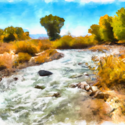
Soldier Creek
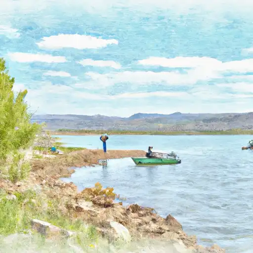
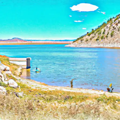
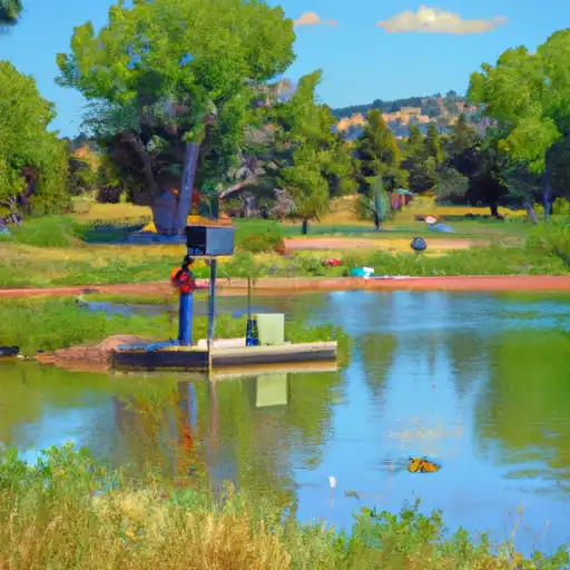
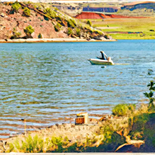
Soldier Creek is a Federal-owned irrigation reservoir located in Duchesne, Utah, along the Strawberry River. Built by the Bureau of Reclamation in 1973, this earth dam stands at a structural height of 251 feet and has a hydraulic height of 243 feet, providing vital water storage for the region. With a storage capacity of 1,127,610 acre-feet and a surface area of 17,163 acres, Soldier Creek plays a crucial role in supporting local agriculture and water resource management.
Despite being regulated by the Bureau of Reclamation, Soldier Creek poses a high hazard potential due to its size and location. Although the condition assessment is currently unavailable, regular inspections are conducted to ensure the dam's safety and integrity. Emergency action plans have been prepared and updated to meet guidelines, emphasizing the importance of risk management and preparedness in the event of a potential dam failure.
For water resource and climate enthusiasts, Soldier Creek offers a fascinating glimpse into the intersection of human ingenuity and natural resources. As a key component of the local irrigation system, this reservoir serves as a testament to the ongoing efforts to harness and manage water resources in an ever-changing environment. With its rich history and critical role in sustaining agriculture, Soldier Creek remains a valuable asset for the community and a symbol of the complex relationship between water, infrastructure, and the environment.
Plan around the weather
Same NOAA / yr.no feed Snoflo's iOS app uses. Watch the precipitation column on the meteogram -- rain on the basin upstream typically lifts inflow 24-72 hours later.
Next 5 days, hour by hour
Temperature line with weather symbols on top, snow + rain accumulation as columns, humidity as a dotted line.
5-day forecast table
Every 3 hours, broken out across temperature, snow, rain, humidity, and wind. Each cell is colour-coded relative to the column min/max.
| Time | Condition | Temp (°F) | Snow (in) | Rain (in) | Humidity (%) | Wind (mps) | Wind dir |
|---|---|---|---|---|---|---|---|
| Loading detailed forecast… | |||||||
15-day temperature & precipitation
Daily temperatures, snow, and rain projected over the next two weeks.
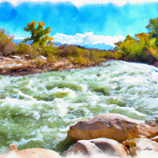
Nearby streamflow gauges
USGS streamgauges around Soldier Creek -- inflows here typically show up in storage 24-72 hours later.
| Streamgauge | Discharge | View |
|---|---|---|
| Currant Creek Near Fruitland | 42 cfs | → |
| Strawberry River At Pinnacles Near Fruitland | 40 cfs | → |
| Sixth Water Cr Ab Syar Tunnel | 22 cfs | → |
| White River Bl Tabbyune C Near Soldier Summit | · | → |
| Diamond Fork Above Red Hollow | 40 cfs | → |
| Strawberry River Near Duchesne | 58 cfs | → |


About Soldier Creek
Where does the data for Soldier Creek come from?
Structural and regulatory data come from the U.S. Army Corps of Engineers' National Inventory of Dams (NID). Weather forecast comes from NOAA / yr.no -- the same feed Snoflo's iOS app uses.
How often is the report updated?
NID structural data refreshes annually as the Corps publishes updated assessments. The weather forecast refreshes throughout the day.
What does the High hazard rating mean?
The Corps of Engineers' hazard potential classification grades probable consequences if the dam fails: High = probable loss of human life; Significant = no probable loss of human life but possible economic loss / environmental damage; Low = no probable loss of human life, only minor economic / environmental losses. See the Dam Data Reference card below for the full definitions.
What's "% of normal"?
The current storage value compared to the historical average storage on this calendar day. 100% = right on average; values above 100% mean above-normal storage (wet year); values below mean below-normal (dry year or drought).
Can I get alerts when storage crosses a threshold?
Yes -- alerts are managed in the Snoflo iOS app. Favorite this dam, set a threshold, and you'll get a push the moment conditions cross.
Dam data reference
Condition Assessment
- Satisfactory
- No existing or potential dam safety deficiencies are recognized. Acceptable performance is expected under all loading conditions (static, hydrologic, seismic) in accordance with the minimum applicable state or federal regulatory criteria or tolerable risk guidelines.
- Fair
- No existing dam safety deficiencies are recognized for normal operating conditions. Rare or extreme hydrologic and/or seismic events may result in a dam safety deficiency. Risk may be in the range to take further action.
- Poor
- A dam safety deficiency is recognized for normal operating conditions which may realistically occur. Remedial action is necessary. POOR may also be used when uncertainties exist as to critical analysis parameters which identify a potential dam safety deficiency.
- Unsatisfactory
- A dam safety deficiency is recognized that requires immediate or emergency remedial action for problem resolution.
- Not Rated
- The dam has not been inspected, is not under state or federal jurisdiction, or has been inspected but, for whatever reason, has not been rated.
Hazard Potential Classification
- High
- Dams assigned the high hazard potential classification are those where failure or mis-operation will probably cause loss of human life.
- Significant
- Dams assigned the significant hazard potential classification are those dams where failure or mis-operation results in no probable loss of human life but can cause economic loss, environmental damage, disruption of lifeline facilities, or impact other concerns. Significant hazard potential classification dams are often located in predominantly rural or agricultural areas but could be in areas with population and significant infrastructure.
- Low
- Dams assigned the low hazard potential classification are those where failure or mis-operation results in no probable loss of human life and low economic and/or environmental losses. Losses are principally limited to the owner's property.
- Undetermined
- Dams for which a downstream hazard potential has not been designated or is not provided.