


Dry Creek At Tuckahoe Reservoir Report
Last Updated: May 11, 2026
Nearby: Hanna Dam Moncove Lake
°F
°F
mph
Wind
%
Humidity
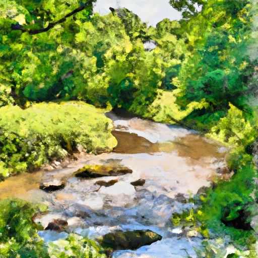
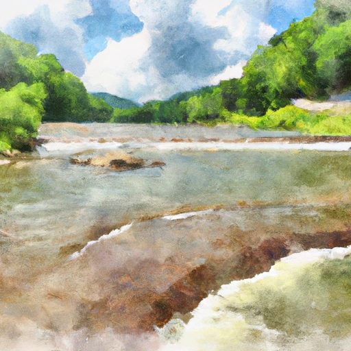
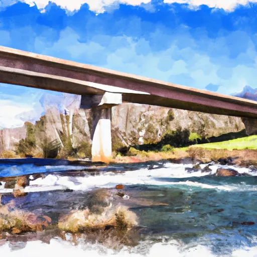
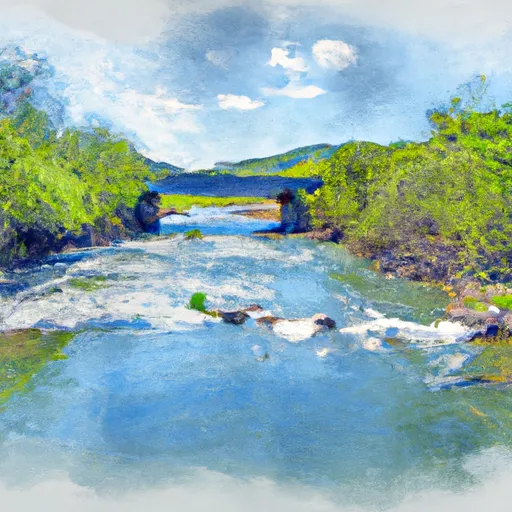
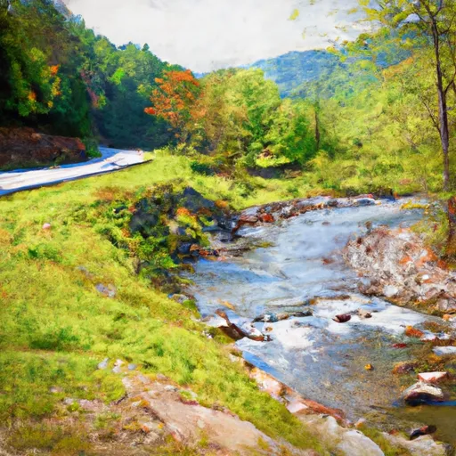
Dry Creek is a stream located in Tuckahoe, WV in West Virginia.
Summary
The stream runs for approximately 11 miles and is fed by several springs and smaller streams. The area around Dry Creek has a rich history, with evidence of Native American settlements and several historic buildings still standing. The hydrology of Dry Creek is heavily influenced by seasonal precipitation and snowpack, with snowmelt in the spring contributing significantly to the stream's flow. Agriculture is a major use of the land around Dry Creek, with several farms utilizing the fertile soil for crops and livestock. Recreational uses of the creek include fishing, swimming and kayaking, with the surrounding trails and forest providing opportunities for hiking and camping.
Regional Streamflow Levels
 Potts Creek Near Covington
|
39cfs |
 Dunlap Creek Near Covington
|
31cfs |
 Jackson River Bl Dunlap Creek At Covington
|
538cfs |
 Johns Creek At New Castle
|
26cfs |
 Greenbrier River At Alderson
|
513cfs |
 Craig Creek At Parr
|
71cfs |
15-Day Long Term Forecast
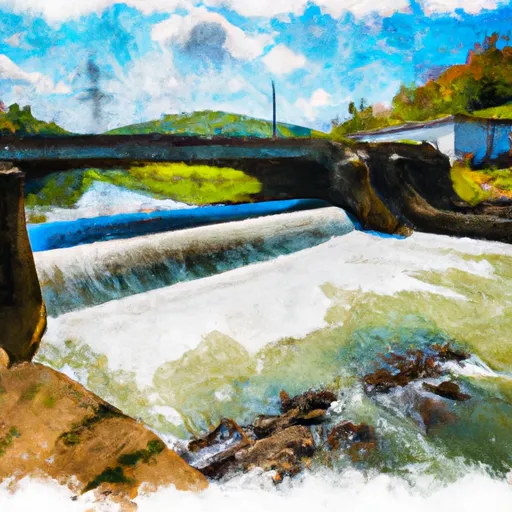
Reservoir Details
| Gage Height, Ft 24hr Change | -0.02% |
| Percent of Normal | 98% |
| Minimum |
42.12 ft
2010-11-01 |
| Maximum |
64.58 ft
2016-06-25 |
| Average | 48 ft |
Seasonal Comparison
Gage Height, Ft Levels
5-Day Hourly Forecast Detail
Dam Data Reference
Condition Assessment
SatisfactoryNo existing or potential dam safety deficiencies are recognized. Acceptable performance is expected under all loading conditions (static, hydrologic, seismic) in accordance with the minimum applicable state or federal regulatory criteria or tolerable risk guidelines.
Fair
No existing dam safety deficiencies are recognized for normal operating conditions. Rare or extreme hydrologic and/or seismic events may result in a dam safety deficiency. Risk may be in the range to take further action. Note: Rare or extreme event is defined by the regulatory agency based on their minimum
Poor A dam safety deficiency is recognized for normal operating conditions which may realistically occur. Remedial action is necessary. POOR may also be used when uncertainties exist as to critical analysis parameters which identify a potential dam safety deficiency. Investigations and studies are necessary.
Unsatisfactory
A dam safety deficiency is recognized that requires immediate or emergency remedial action for problem resolution.
Not Rated
The dam has not been inspected, is not under state or federal jurisdiction, or has been inspected but, for whatever reason, has not been rated.
Not Available
Dams for which the condition assessment is restricted to approved government users.
Hazard Potential Classification
HighDams assigned the high hazard potential classification are those where failure or mis-operation will probably cause loss of human life.
Significant
Dams assigned the significant hazard potential classification are those dams where failure or mis-operation results in no probable loss of human life but can cause economic loss, environment damage, disruption of lifeline facilities, or impact other concerns. Significant hazard potential classification dams are often located in predominantly rural or agricultural areas but could be in areas with population and significant infrastructure.
Low
Dams assigned the low hazard potential classification are those where failure or mis-operation results in no probable loss of human life and low economic and/or environmental losses. Losses are principally limited to the owner's property.
Undetermined
Dams for which a downstream hazard potential has not been designated or is not provided.
Not Available
Dams for which the downstream hazard potential is restricted to approved government users.
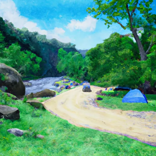
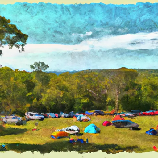
Area Campgrounds
| Location | Reservations | Toilets |
|---|---|---|
 Moncove Lake State Park
|
||
 Steel Bridge Campground
|
||
 Blue Bend
|
||
 Blue Bend Recreation Area and Campground
|
||
 Blue Bend Campground
|
||
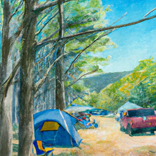 The Pines Campground
|
 Dry Creek At Tuckahoe
 Marlin Run At Marlinton
 Little River Reservoir Near Radford
 Island Park Road 461, Ronceverte
River Runs
-
 Segment D--Gathright Dam To State Route 687 Bridge At Clearwater Park
-
 Jefferson Nf Boundary Near Confluence With Nettle Hollow To Confluence With Laurel Branch
-
 Segment A--Route 42 Bridge To Confluence With Jackson River
-
 Jefferson Nf Boundary (Above Cascades Fall) To Jefferson Nf Boundary (Below Cascades Fall)
-
 Segment B--Confluence With Bullpasture River To Route 42 Bridge
-
 Segment A--State Route 39 At Blowing Springs Campground To Lake Moomaw