


Marlin Run At Marlinton Reservoir Report
Last Updated: May 1, 2026
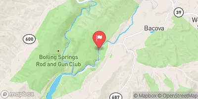
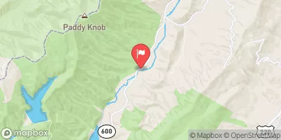
Nearby: Lake Sam Hill Watoga Lake Dam
°F
°F
mph
Wind
%
Humidity
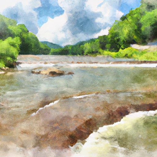
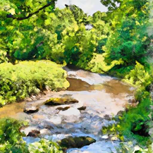
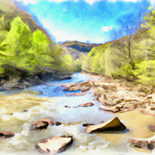
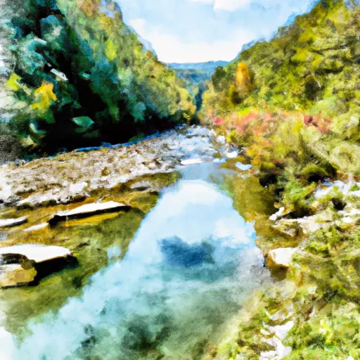
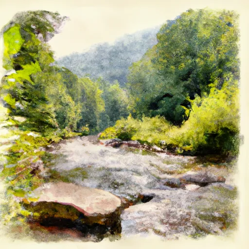
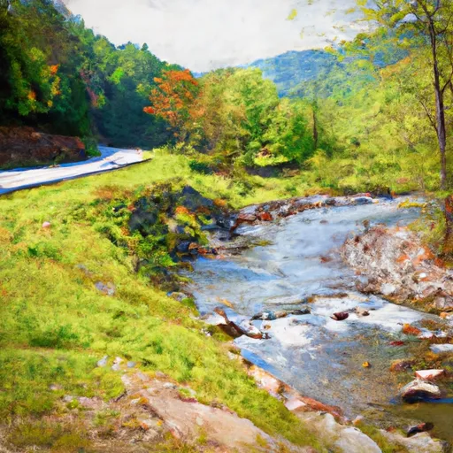
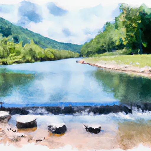
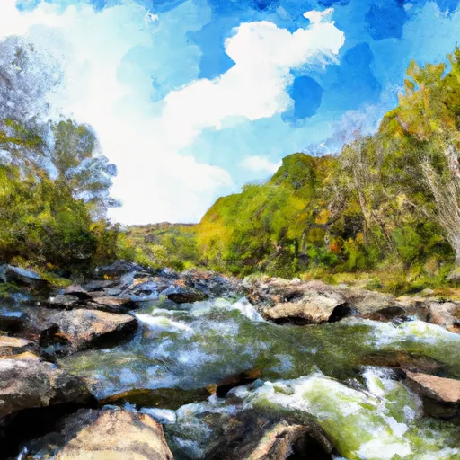
The Marlin Run in Marlinton, WV has a rich history dating back to the 1800s when it was used to power a sawmill.
Summary
Today, it serves as a popular recreational spot for kayaking and fishing enthusiasts. The Marlin Run is a tributary of the Greenbrier River and is fed by surface flow and snowpack from nearby mountains. The surrounding area is primarily used for agriculture, with a focus on hay production and livestock grazing. The Marlin Run is also used for irrigation purposes, providing water to nearby farms. The hydrology of the Marlin Run has been impacted by human activity, including logging and mining, but efforts are being made to restore the health of the waterway.
Regional Streamflow Levels
 Greenbrier River At Buckeye
|
260cfs |
 Little Back Creek Near Sunrise
|
4cfs |
 Back Creek Near Mountain Grove
|
68cfs |
 Back Creek At Sunrise
|
41cfs |
 Jackson River Near Bacova
|
42cfs |
 Back Creek Near Sunrise
|
26cfs |
15-Day Long Term Forecast
Reservoir Details
| Gage Height, Ft 24hr Change | -0.03% |
| Percent of Normal | 100% |
| Minimum |
29.02 ft
2011-08-19 |
| Maximum |
33.79 ft
2010-05-17 |
| Average | 30 ft |
| Dam_Height | 71 |
| Hydraulic_Height | 65 |
| Drainage_Area | 1.25 |
| Year_Completed | 1961 |
| Nid_Storage | 342 |
| Primary_Dam_Type | Earth |
| River_Or_Stream | MARLIN RUN |
| Foundations | Rock, Soil |
| Surface_Area | 2 |
| Hazard_Potential | High |
| Outlet_Gates | Uncontrolled |
| Dam_Length | 760 |
| Nid_Height | 71 |
Seasonal Comparison
Gage Height, Ft Levels
5-Day Hourly Forecast Detail
Dam Data Reference
Condition Assessment
SatisfactoryNo existing or potential dam safety deficiencies are recognized. Acceptable performance is expected under all loading conditions (static, hydrologic, seismic) in accordance with the minimum applicable state or federal regulatory criteria or tolerable risk guidelines.
Fair
No existing dam safety deficiencies are recognized for normal operating conditions. Rare or extreme hydrologic and/or seismic events may result in a dam safety deficiency. Risk may be in the range to take further action. Note: Rare or extreme event is defined by the regulatory agency based on their minimum
Poor A dam safety deficiency is recognized for normal operating conditions which may realistically occur. Remedial action is necessary. POOR may also be used when uncertainties exist as to critical analysis parameters which identify a potential dam safety deficiency. Investigations and studies are necessary.
Unsatisfactory
A dam safety deficiency is recognized that requires immediate or emergency remedial action for problem resolution.
Not Rated
The dam has not been inspected, is not under state or federal jurisdiction, or has been inspected but, for whatever reason, has not been rated.
Not Available
Dams for which the condition assessment is restricted to approved government users.
Hazard Potential Classification
HighDams assigned the high hazard potential classification are those where failure or mis-operation will probably cause loss of human life.
Significant
Dams assigned the significant hazard potential classification are those dams where failure or mis-operation results in no probable loss of human life but can cause economic loss, environment damage, disruption of lifeline facilities, or impact other concerns. Significant hazard potential classification dams are often located in predominantly rural or agricultural areas but could be in areas with population and significant infrastructure.
Low
Dams assigned the low hazard potential classification are those where failure or mis-operation results in no probable loss of human life and low economic and/or environmental losses. Losses are principally limited to the owner's property.
Undetermined
Dams for which a downstream hazard potential has not been designated or is not provided.
Not Available
Dams for which the downstream hazard potential is restricted to approved government users.
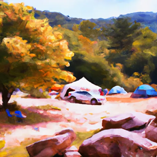
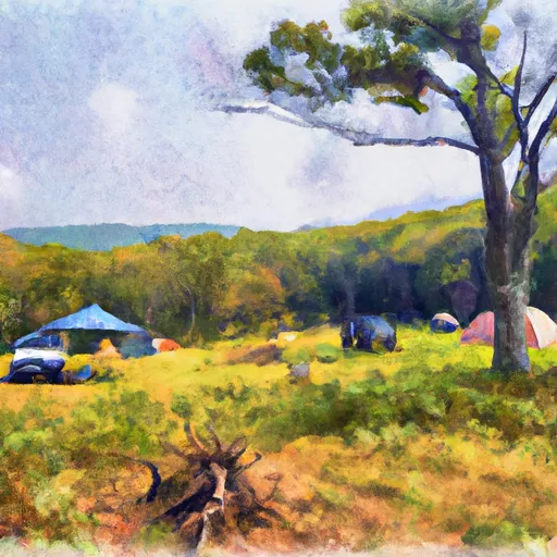
Area Campgrounds
| Location | Reservations | Toilets |
|---|---|---|
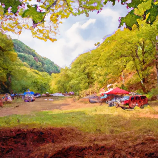 Day Run Campground
|
||
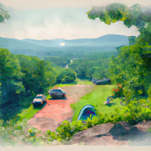 Highland Scenic Highway
|
||
 Beaver Creek - Watoga State Park
|
||
 Day Run
|
||
 Handley WMA
|
||
 Riverside - Watoga State Park
|
 Marlin Run At Marlinton
 Dry Creek At Tuckahoe
 Lake Sherwood Road Greenbrier County
River Runs
-
 Tea Creek To Three Forks
-
 National Forest Land To Tea Creek
-
 The Headwaters
To The U.S. Forest Service Cranberry Campground
The Headwaters
To The U.S. Forest Service Cranberry Campground
-
 Segment A--State Route 39 At Blowing Springs Campground To Lake Moomaw
-
 Segment B--Pump Storage Lake To Blowing Springs Campground
-
 Segment C--Southern Boundary Hidden Valley Tract To Mcclintic Bridge
 Elkhorn Lake Day Use Area
 Staunton Dam Day Use Area
 Briery Branch Day Use Area