Summary
With an elevation of approximately 9,572 feet (2,918 meters), it offers breathtaking panoramic views of the surrounding landscape. As part of the Wallowa Mountains in Oregon, Eagle Cap is the highest point in the range and serves as a popular destination for outdoor enthusiasts.
During the winter season, Eagle Cap receives a substantial amount of snowfall, boasting an average snowpack range of 150 to 200 inches (381-508 cm). This accumulation creates ideal conditions for winter sport activities such as skiing and snowshoeing. Additionally, the mountain feeds several creeks and rivers, including Lostine River and Tenderfoot Creek, through its snowmelt runoff.
The name "Eagle Cap" is said to have been inspired by the peak's distinctive profile resembling the outstretched wings of an eagle. This majestic mountain holds significant historical and cultural value for the Nez Perce tribe, who have inhabited the region for centuries. According to Nez Perce legends, Eagle Cap was considered a sacred place, often associated with spiritual and healing powers. To this day, the mountain continues to captivate visitors with its natural beauty, recreational opportunities, and rich cultural heritage. Sources: USDA Forest Service, SummitPost, Oregon Encyclopedia
Weather Forecast
Regional Streamflow Levels
150
Cubic Feet Per Second
3,230
Cubic Feet Per Second
12,300
Cubic Feet Per Second
23,100
Cubic Feet Per Second
Area Campgrounds
| Location | Reservations | Toilets |
|---|---|---|
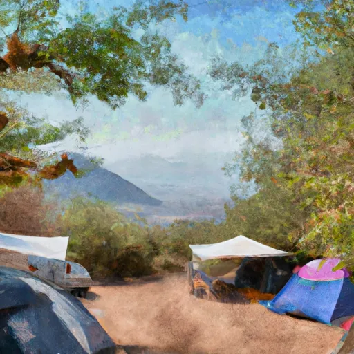 Campsites
|
||
 Two Pan
|
||
 Two Pan Campground
|
||
 Shady
Shady
|
||
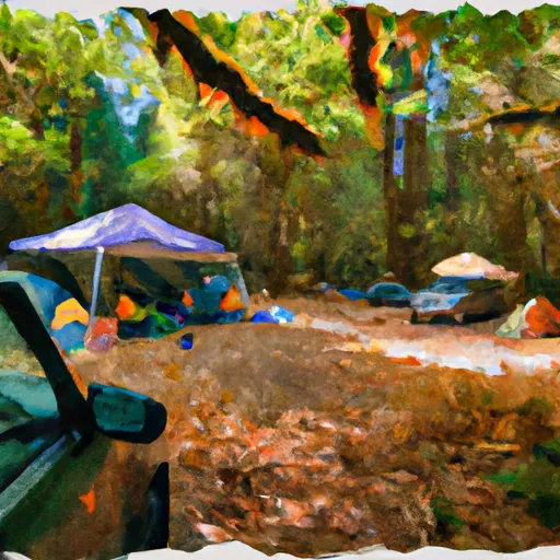 Shady Campground
|
||
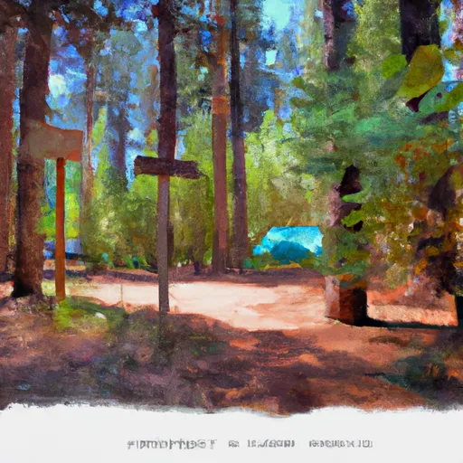 Arrow Forest Camp
|
