Summary
Standing tall at an elevation of approximately [insert elevation], it offers breathtaking panoramic views of the surrounding area. This majestic peak is a popular destination for mountaineers and outdoor enthusiasts seeking a thrilling adventure.
During the winter season, Sheepshead Peak receives a substantial snowpack, creating ideal conditions for winter sports and activities. The snowpack range varies each year, depending on weather patterns, but adventurers can generally expect a reliable snow cover that allows for skiing, snowboarding, and snowshoeing. Its challenging slopes and pristine snow make it a favorite among experienced winter athletes.
Sheepshead Peak is also known for its significant impact on the surrounding environment. Several creeks and rivers benefit from the mountain's runoff, ensuring a steady flow of water throughout the year. The specific creeks and rivers that receive this runoff include [insert names] and contribute to the overall ecosystem and water supply of the region.
The name "Sheepshead Peak" carries an intriguing history. While the exact origin is debated, some believe it was named due to the peak's resemblance to a sheep's head when viewed from certain angles. Others suggest that the name is derived from local legends or folklore, but these speculations remain unverified. Nevertheless, Sheepshead Peak's extraordinary beauty, challenging terrain, and natural significance make it a must-visit destination for mountaineers and nature enthusiasts alike.
°F
°F
mph
Wind
%
Humidity
15-Day Weather Outlook
5-Day Hourly Forecast Detail
Regional Streamflow Levels
1
Cubic Feet Per Second
263
Cubic Feet Per Second
1
Cubic Feet Per Second
-999
Cubic Feet Per Second
Area Campgrounds
| Location | Reservations | Toilets |
|---|---|---|
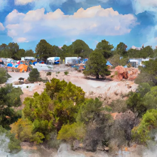 Trampas Campground
|
||
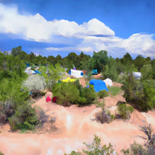 Trampas Medio Campground
|
||
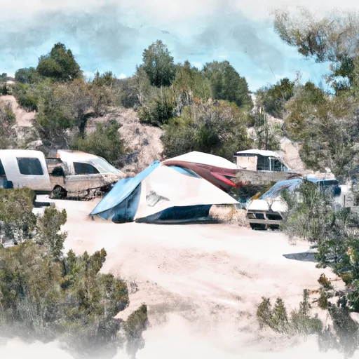 Trampas Diamante Campground
|
||
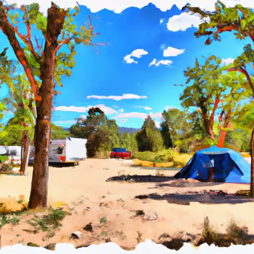 Santa Barbara
|
||
 Santa Barbara Campground
|
||
 Borrego Mesa Campground
|
