Oregon Snowpack & Snow Report
As of Nov 19, 2026, Oregon's snowpack is at 14% of normal across 92 SNOTEL stations — the deepest is 18" at Mt Hood Test Site. Live SNOTEL snow depth, snowfall, snow-water equivalent, and 5-day forecasts for every mountain in Oregon.
Oregon snow map
See Oregon’s snow on a live map
Every snow station and ski area, one tap each:
- On the ground — how deep it is now
- Last 24 hrs — who got new snow
- Coming up — 24/48/72-hr forecast, press play
✓ Free for 7 days · ✓ Cancel anytime
Oregon snow conditions today
What’s on the ground, how it compares to normal and what’s coming — refreshed daily from SNOTEL and NOAA.
Oregon's snowpack is at 14% of normal for today's date — well below the 70% drought-stress threshold. The deepest station is Mt Hood Test Site with 18" on the ground (seasonal average 81"). Nohrsc Aneroid Lake #2 is the coldest right now at 50°F.
The Oregon snowpack is monitored by the USDA NRCS SNOTEL network — automated stations sitting on the mountain that report snow depth, snow water equivalent (SWE), and air temperature every hour. Snoflo joins those live readings to a 5-day NOAA forecast for each station so you can see what's on the ground and what's coming.
Use the SNOTEL inventory below to find the closest station to where you're headed. Percent of normal tells you how today's snowpack compares to the historical average for the same date — below 70% is drought-stressed; above 130% is a fat year. Snow water content (SWC) indicates how wet and dense the snowpack is — useful for water-supply planning and avalanche stability assessment.
For backcountry travel always cross-reference with your regional avalanche center at avalanche.org.
Oregon snow report
| Snowpack monitoring site | Snowpack (in) | Snowfall (in) | 24hr fcst (in) | Next 72hrs (in) | Temp (°F) | % Normal | SWC (%) | Watershed | Elevation (ft) |
|---|---|---|---|---|---|---|---|---|---|
|
Aneroid Lake #2, Or
Site 302 |
19 | 0 | 5 | 5 | 28 | 213% | 19% | Imnaha | 7,400 |
|
Mt. Howard, Or
Site 653 |
19 | 0 | 4 | 5 | 26 | 184% | 18% | Wallowa | 7,910 |
|
Nohrsc Mt. Howard, Or
Site MHWO3 |
19 | 0 | 4 | 5 | 26 | 240% | 18% | Wallowa | 7,852 |
|
Nohrsc Aneroid Lake #2, Or
Site ANRO3 |
19 | 0 | 5 | 6 | 28 | % | 19% | Imnaha | 7,429 |
|
Fish Creek, Or
Site FCKO3 |
18 | 0 | 4 | 9 | 27 | 64% | 16% | Donner Und Blitzen | 7,744 |
|
Crater Lake National Park Hq, Or
Site CRLO3 |
16 | 7 | 0 | 2 | 29 | % | % | Upper Klamath Lake | 6,516 |
|
Fish Creek, Or
Site 477 |
13 | 0 | 1 | 10 | 28 | 164% | 18% | Donner Und Blitzen | 7,660 |
|
Swan Lake Mtn, Or
Site 1077 |
13 | 0 | 0 | 0 | 28 | 120% | 18% | Sprague | 6,830 |
|
Nohrsc Swan Lake Mtn, Or
Site SWNO3 |
13 | 0 | 0 | 0 | 29 | % | 18% | Lost | 5,425 |
|
Annie Springs, Or
Site ANSO3 |
12 | 0 | 0 | 1 | 29 | % | 19% | Upper Klamath Lake | 6,029 |
|
Annie Springs, Or
Site 1000 |
11 | 0 | 0 | 1 | 29 | 95% | 21% | Upper Klamath Lake | 6,010 |
|
Big Red Mountain, Or
Site 341 |
10 | 0 | 0 | 0 | 26 | 0% | · | Applegate | 6,050 |
|
Gold Center, Or
Site 494 |
10 | 1 | 1 | 2 | 34 | 120% | 12% | North Fork John Day | 5,410 |
|
Moss Springs, Or
Site 647 |
10 | 0 | 4 | 4 | 31 | 65% | 14% | Wallowa | 5,760 |
|
Summer Rim, Or
Site 800 |
10 | 1 | 0 | 0 | 28 | 100% | 15% | Summer Lake | 7,080 |
|
Nohrsc Big Red Mountain, Or
Site BRMO3 |
10 | 0 | 0 | 1 | 26 | 0% | % | Applegate | 6,117 |
|
Nohrsc Moss Springs, Or
Site MOSO3 |
10 | 0 | 4 | 4 | 31 | 466% | 14% | Wallowa | 5,786 |
|
Gold Center, Or
Site GLDO3 |
10 | 0 | 2 | 2 | 34 | 233% | 11% | North Fork John Day | 5,415 |
|
Schneider Meadows, Or
Site 736 |
9 | 1 | 6 | 6 | 32 | 92% | 19% | Brownlee Reservoir | 5,400 |
|
Fourmile Lake, Or
Site 483 |
8 | 0 | 0 | 2 | 32 | 63% | 15% | Upper Klamath Lake | 5,970 |
|
Milk Shakes, Or
Site 1079 |
8 | 0 | 2 | 3 | 28 | 53% | 19% | Walla Walla | 5,580 |
|
Silvies , Or
Site 759 |
8 | 0 | 3 | 6 | 29 | 77% | 16% | Donner Und Blitzen | 6,990 |
|
Sun Pass, Or
Site 1078 |
8 | 0 | 0 | 1 | 33 | 0% | 11% | Williamson | 5,400 |
|
Taylor Green, Or
Site 812 |
8 | 0 | 3 | 3 | 31 | 100% | 15% | Powder | 5,740 |
|
Wolf Creek, Or
Site 873 |
8 | 0 | 2 | 2 | 31 | 89% | 14% | Powder | 5,630 |
|
Nohrsc Fourmile Lake, Or
Site FRLO3 |
8 | 0 | 0 | 1 | 32 | 120% | 15% | Upper Klamath Lake | 5,999 |
|
Nohrsc Schneider Meadows, Or
Site SCHO3 |
8 | 0 | 7 | 7 | 32 | % | 20% | Brownlee Reservoir | 5,422 |
|
Nohrsc Sun Pass, Or
Site SSSO3 |
8 | 0 | 0 | 2 | 33 | % | 11% | Upper Klamath Lake | 5,405 |
|
Nohrsc Wolf Creek, Or
Site WFCO3 |
8 | 0 | 2 | 2 | 29 | % | 13% | Powder | 5,737 |
|
Eilertson Meadows, Or
Site 464 |
7 | 0 | 2 | 2 | 32 | 150% | 17% | Powder | 5,510 |
|
Nohrsc Taylor Green, Or
Site TYLO3 |
7 | 0 | 4 | 4 | 31 | % | 16% | Powder | 5,733 |
|
Nohrsc Eilertson Meadows, Or
Site EIMO3 |
7 | 0 | 3 | 3 | 32 | 450% | 16% | Powder | 5,520 |
|
Derr., Or
Site 440 |
6 | 0 | 1 | 1 | 27 | 0% | 7% | Upper Crooked | 5,850 |
|
High Ridge, Or
Site 523 |
6 | 1 | 1 | 4 | 30 | 67% | 13% | Umatilla | 4,920 |
|
Silver Creek, Or
Site 756 |
6 | 0 | 0 | 0 | 30 | 0% | 7% | Summer Lake | 5,740 |
|
Nohrsc Dismal Swamp, Or
Site DMLC1 |
5 | 0 | 3 | 3 | 25 | 150% | 34% | Warner Lakes | 7,406 |
|
Bear Grass, Or
Site 1166 |
5 | 0 | 0 | 0 | 40 | 9% | 10% | Mckenzie | 4,720 |
|
Billie Creek Divide, Or
Site 344 |
5 | 0 | 0 | 2 | 30 | 23% | 16% | Upper Klamath Lake | 5,280 |
|
Mt Hood Test Site, Or
Site 651 |
5 | 0 | 0 | 0 | 30 | 9% | 10% | Lower Columbia-Sandy | 5,370 |
|
Ochoco Meadows, Or
Site 671 |
5 | 1 | 1 | 1 | 30 | 34% | 14% | Upper Crooked | 5,430 |
|
Nohrsc Billie Creek Divide, Or
Site BCDO3 |
5 | 0 | 0 | 1 | 33 | % | 16% | Upper Klamath Lake | 5,300 |
|
Nohrsc Bear Grass, Or
Site BKSO3 |
5 | 0 | 0 | 0 | 34 | % | 10% | Mckenzie | 4,740 |
|
Beaver Reservoir, Or
Site BVRO3 |
5 | 0 | 1 | 1 | 31 | 166% | 20% | Upper Grande Ronde | 5,133 |
|
Nohrsc King Mountain, Or
Site KIMO3 |
5 | 0 | 0 | 1 | 34 | 100% | 16% | Lower Rogue | 4,356 |
|
Mt Hood Test Site, Or
Site MTHO3 |
5 | 0 | 0 | 0 | 30 | 13% | 10% | Lower Columbia-Sandy | 5,409 |
|
Silver Creek, Or
Site SVCO3 |
5 | 0 | 0 | 0 | 30 | % | 8% | Summer Lake | 5,763 |
|
Timberline Lodge, Or
Site TIM59_MADIS |
5 | 0 | 0 | 0 | 26 | % | % | Lower Columbia-Sandy | 5,888 |
|
Nohrsc West Branch, Or
Site WBRI1 |
5 | 0 | 1 | 2 | 33 | % | 12% | Little Salmon | 5,625 |
|
Beaver Reservoir, Or
Site 331 |
5 | 0 | 1 | 2 | 32 | 166% | 20% | Upper Grande Ronde | 5,150 |
|
Chemult Alternate, Or
Site 395 |
4 | 0 | 0 | 0 | 35 | 150% | 18% | Williamson | 4,850 |
|
King Mountain, Or
Site 558 |
4 | -1 | 0 | 0 | 34 | % | 20% | Lower Rogue | 4,340 |
|
Snow Mountain, Or
Site 767 |
4 | 0 | 1 | 2 | 26 | 150% | 20% | Silvies | 6,230 |
|
Tipton, Or
Site 821 |
4 | 0 | 1 | 1 | 32 | 91% | 20% | Burnt | 5,150 |
|
Nohrsc Chemult Alternate, Or
Site CHUO3 |
4 | 0 | 0 | 0 | 34 | 67% | 18% | Williamson | 4,877 |
|
Ochoco Meadows, Or
Site OCMO3 |
4 | 0 | 1 | 1 | 30 | % | 15% | Upper Crooked | 5,455 |
|
Skibowl Summit, Or
Site GVT50_MADIS |
4 | 0 | 0 | 0 | 32 | % | % | Lower Columbia-Sandy | 4,989 |
|
Tyler Heilman Snow Depth Statio, Or
Site PLPLO_MADIS |
4 | 0 | 0 | 0 | 25 | % | % | Little Deschutes | 6,393 |
|
Nohrsc Derr., Or
Site DERO3 |
4 | 0 | 1 | 2 | 27 | 50% | 10% | Upper Crooked | 5,874 |
|
Tipton, Or
Site TIPO3 |
4 | 0 | 2 | 2 | 32 | % | 20% | Burnt | 5,156 |
|
Snow Mountain, Or
Site SNWO3 |
3 | 0 | 1 | 2 | 26 | % | 27% | Silvies | 6,248 |
|
Cold Springs Camp, Or
Site 406 |
2 | 0 | 0 | 2 | 32 | 67% | 40% | Upper Klamath Lake | 5,940 |
|
Diamond Lake, Or
Site 442 |
2 | 0 | 0 | 0 | 34 | 100% | 10% | North Umpqua | 5,280 |
|
Gerber Reservoir, Or
Site 945 |
2 | -1 | 0 | 0 | 36 | 0% | 15% | Lost | 4,890 |
|
Hogg Pass, Or
Site 526 |
2 | 0 | 0 | 0 | 32 | 12% | 20% | Upper Deschutes | 4,790 |
|
Mckenzie, Or
Site 619 |
2 | 0 | 0 | 0 | 34 | 0% | 5% | Mckenzie | 4,770 |
|
North Fork, Or
Site 666 |
2 | 1 | 0 | 0 | 37 | 0% | · | Lower Columbia-Sandy | 3,060 |
|
Red Hill, Or
Site 712 |
2 | 0 | 0 | 0 | 31 | 28% | 35% | Middle Columbia-Hood | 4,410 |
|
Santiam Jct., Or
Site 733 |
2 | 0 | 0 | 0 | 38 | 67% | 15% | Mckenzie | 3,740 |
|
Starr Ridge, Or
Site 789 |
2 | 0 | 1 | 1 | 32 | 0% | 5% | Upper John Day | 5,250 |
|
Summit Lake, Or
Site 801 |
2 | 2 | 0 | 0 | 30 | 14% | 25% | Little Deschutes | 5,610 |
|
Nohrsc Diamond Lake, Or
Site DIAO3 |
2 | 0 | 0 | 1 | 36 | 100% | 20% | North Umpqua | 5,327 |
|
Nohrsc Cold Springs Camp, Or
Site CSCO3 |
2 | 0 | 0 | 2 | 32 | 133% | 40% | Upper Klamath Lake | 5,983 |
|
Nohrsc North Fork, Or
Site NFRO3 |
2 | 0 | 0 | 1 | 37 | 0% | · | Lower Columbia-Sandy | 3,096 |
|
Nohrsc Blazed Alder, Or
Site BLAO3 |
2 | 0 | 0 | 0 | 37 | % | 5% | Lower Columbia-Sandy | 3,700 |
|
Starr Ridge, Or
Site STRO3 |
2 | 0 | 1 | 2 | 32 | % | 5% | Upper John Day | 5,268 |
|
Nohrsc Hogg Pass, Or
Site HOPO3 |
2 | 0 | 0 | 0 | 32 | 34% | 20% | Upper Deschutes | 4,808 |
|
Nohrsc Mckenzie, Or
Site MKZO3 |
2 | 0 | 0 | 0 | 32 | 0% | 5% | Mckenzie | 4,789 |
|
Nohrsc Red Hill, Or
Site REDO3 |
2 | 0 | 0 | 1 | 31 | % | 35% | Middle Columbia-Hood | 4,415 |
|
Nohrsc Lake Creek R.S., Or
Site LKCO3 |
1 | 0 | 2 | 3 | 34 | 100% | 60% | Upper Malheur | 5,261 |
|
Blazed Alder, Or
Site 351 |
1 | 0 | 0 | 0 | 37 | 15% | 10% | Lower Columbia-Sandy | 3,650 |
|
County Line, Or
Site 422 |
1 | 0 | 1 | 2 | 33 | % | · | Upper Grande Ronde | 4,830 |
|
Howard Prairie, Or
Site 1158 |
1 | 0 | 0 | 1 | 36 | % | 10% | Upper Klamath | 4,580 |
|
Irish Taylor, Or
Site 545 |
1 | 0 | 0 | 0 | 32 | 6% | 40% | Upper Deschutes | 5,540 |
|
Lake Creek R.S., Or
Site 563 |
1 | 0 | 1 | 2 | 33 | 100% | 70% | Upper Malheur | 5,240 |
|
Saddle Mountain, Or
Site 726 |
1 | 0 | 0 | 0 | 39 | % | 20% | Tualatin | 3,110 |
|
Salt Creek Falls, Or
Site 729 |
1 | 0 | 0 | 0 | 38 | 0% | · | Middle Fork Willamette | 4,220 |
|
Seine Creek, Or
Site 743 |
1 | 0 | 0 | 0 | 44 | % | · | Tualatin | 2,060 |
|
Smith Ridge, Or
Site 1167 |
1 | 0 | 0 | 0 | 42 | % | · | Mckenzie | 3,270 |
|
Irish Taylor, Or
Site BEDO3 |
1 | 0 | 0 | 1 | 32 | % | 40% | Upper Deschutes | 5,543 |
|
Hoodoo Butte - Snow, Or
Site HDBTB_MADIS |
1 | 0 | 0 | 0 | 34 | % | % | Mckenzie | 5,051 |
|
Howard Prairie Dam, Or
Site HOWO3 |
1 | 0 | 0 | 1 | 36 | 0% | 10% | Upper Klamath | 4,608 |
|
Nohrsc Summit Lake, Or
Site SMLO3 |
1 | 0 | 0 | 1 | 30 | % | 50% | Little Deschutes | 5,642 |
Oregon ski forecast
Per-resort interactive weather forecasts for the next 15 days — temperature curve, precipitation bars, weather symbols, and humidity at every Oregon ski area Snoflo tracks.
-
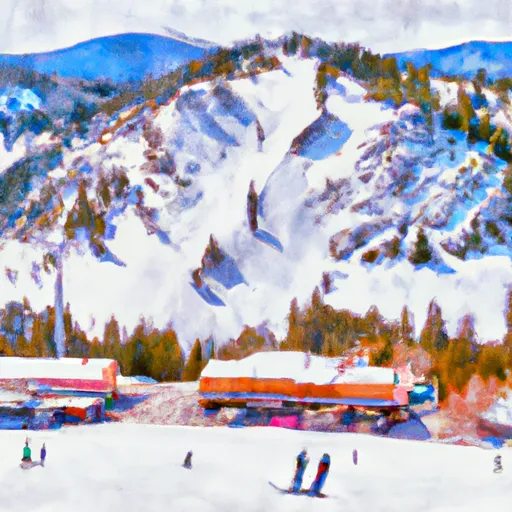 Anthony Lakes Mountain Resort15-day forecast
Ski report →
-
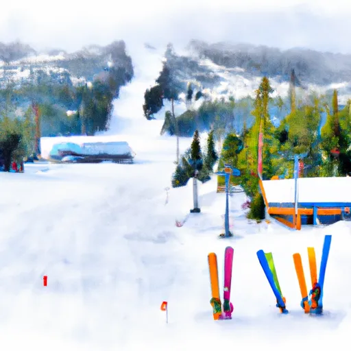 Hoodoo Ski Area15-day forecast
Ski report →
-
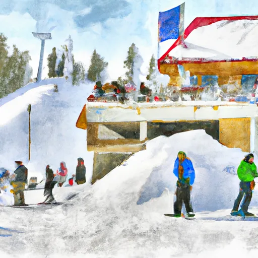 Mt. Ashland Ski & Snowboard Resort15-day forecast
Ski report →
-
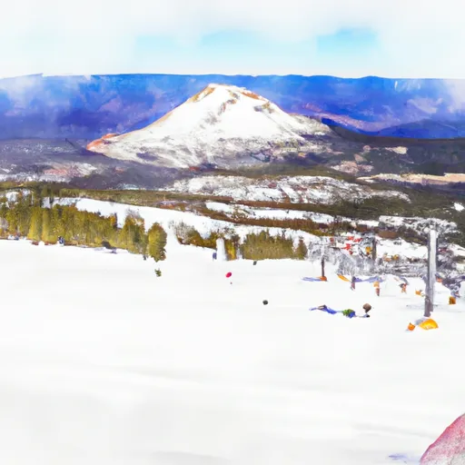 Mt. Bachelor15-day forecast
Ski report →
-
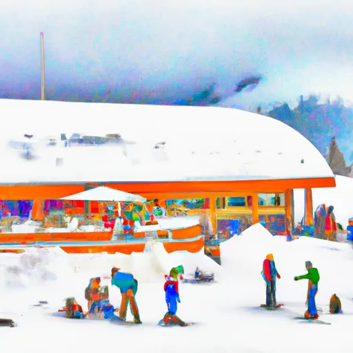 Mt. Hood Meadows Ski Resort15-day forecast
Ski report →
-
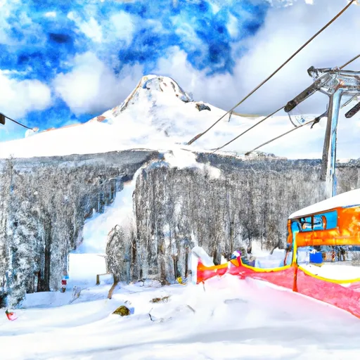 Mt. Hood Skibowl15-day forecast
Ski report →
-
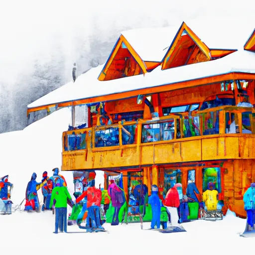 Spout Springs15-day forecast
Ski report →
-
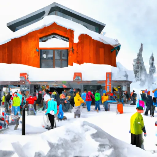 Timberline Ski Area15-day forecast
Ski report →
-
 Warner Canyon15-day forecast
Ski report →
-
 Willamette Pass15-day forecast
Ski report →
About Oregon snowpack
What is Oregon's snowpack right now?
As of November 19, 2026, Oregon's snowpack is at 14% of normal across 92 SNOTEL stations, and the deepest station is Mt Hood Test Site with 18" on the ground. The full SNOTEL table is below.
Where is the deepest snow in Oregon right now?
As of November 19, 2026, the deepest snowpack in Oregon is 18" at Mt Hood Test Site. See the SNOTEL station table for the full ranking by depth and snow-water equivalent.
Is Oregon's snowpack above or below normal?
Compare the statewide percent-of-normal on this page: 100% is right at the historical average for the date, below 70% is drought-stressed, and above 130% is a well-above-normal year. Each SNOTEL station also shows its own percent of normal.
Where does the Oregon snowpack data come from?
The USDA NRCS SNOTEL network (SNOpack TELemetry) -- automated mountain stations that continuously measure snow depth, snow water equivalent, precipitation, and air temperature. Snoflo aggregates the live readings and joins them to a 5-day NOAA forecast for each station.
What is Snow Water Equivalent (SWE)?
The depth of water you'd get if you melted the entire snowpack. A 30-inch snowpack with 8 inches of SWE is wetter and denser than one with 5 inches -- useful for water-supply forecasting and avalanche assessment. The "SWC %" column shows the ratio.
What does Percent Normal mean?
Current snowpack as a percentage of the historical average for the same date at that station. 100% is right at the historical norm. Below 70% indicates drought-stressed snowpack; above 130% is a fat year.
How fresh is the Oregon data?
SNOTEL stations transmit hourly; Snoflo re-pulls throughout the day. The 5-day forecasts regenerate from NOAA NOHRSC analysis fields and NWS forecast guidance.
Why are SNOTEL stations only in some states?
The NRCS SNOTEL network is concentrated in the western mountain U.S. -- where the snowpack drives federal water supply forecasts for irrigation, hydropower, and municipal water. Eastern snowpack is measured by other networks (CoCoRaHS, NWS) which Snoflo includes elsewhere.
Is this a substitute for the local avalanche center?
No. For backcountry travel always consult your regional avalanche forecast at avalanche.org. Snoflo is informational data only.