Emigrant Highway Dike Dam

Emigrant Highway Dike
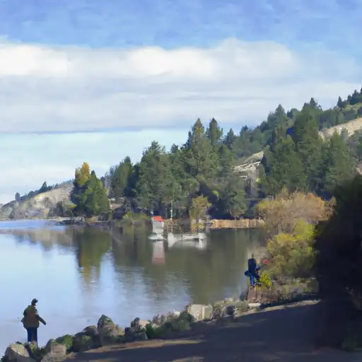
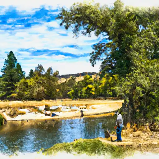
The Emigrant Highway Dike, located in Ashland, Oregon, along Emigrant Creek, is a vital flood risk reduction structure designed by the Bureau of Reclamation. Completed in 1960, this earth dam stands at a height of 90 feet and spans 1500 feet in length, providing essential protection to the surrounding area. With a storage capacity of 39,000 acre-feet and a hazard potential rated as high, the dam plays a crucial role in safeguarding the community from potential flood events.
Managed and funded by the Bureau of Reclamation, the Emigrant Highway Dike not only serves the primary purpose of flood risk reduction but also supports irrigation and recreation activities in the region. With a drainage area of 62 square miles and a surface area of 806 acres, this structure is a key component of the local water resource management system. Despite its age, the dam continues to be monitored by the Bureau of Reclamation to ensure its structural integrity and effectiveness in mitigating flood risks.
With its strategic location and significant storage capacity of 46,700 acre-feet, the Emigrant Highway Dike remains a critical infrastructure for water resource and climate enthusiasts to study and appreciate. As part of the larger network of flood risk reduction measures in the area, this dam exemplifies the importance of proactive water management strategies in safeguarding communities and ecosystems against the impacts of extreme weather events and changing climate patterns.
Plan around the weather
Same NOAA / yr.no feed Snoflo's iOS app uses. Watch the precipitation column on the meteogram -- rain on the basin upstream typically lifts inflow 24-72 hours later.
Next 5 days, hour by hour
Temperature line with weather symbols on top, snow + rain accumulation as columns, humidity as a dotted line.
5-day forecast table
Every 3 hours, broken out across temperature, snow, rain, humidity, and wind. Each cell is colour-coded relative to the column min/max.
| Time | Condition | Temp (°F) | Snow (in) | Rain (in) | Humidity (%) | Wind (mps) | Wind dir |
|---|---|---|---|---|---|---|---|
| Loading detailed forecast… | |||||||
15-day temperature & precipitation
Daily temperatures, snow, and rain projected over the next two weeks.
Nearby streamflow gauges
USGS streamgauges around Emigrant Highway Dike -- inflows here typically show up in storage 24-72 hours later.
| Streamgauge | Discharge | View |
|---|---|---|
| East Fork Ashland Creek Near Ashland | 2 cfs | → |
| West Fork Ashland Creek Near Ashland | 2 cfs | → |
| Bear Creek Blw Ashland Creek At Ashland | 54 cfs | → |
| Bear Creek At Medford | 35 cfs | → |
| Klamath R Bl Iron Gate Dam Ca | 885 cfs | → |
| Shasta R Nr Yreka Ca | 56 cfs | → |


About Emigrant Highway Dike
Where does the data for Emigrant Highway Dike come from?
Structural and regulatory data come from the U.S. Army Corps of Engineers' National Inventory of Dams (NID). Weather forecast comes from NOAA / yr.no -- the same feed Snoflo's iOS app uses.
How often is the report updated?
NID structural data refreshes annually as the Corps publishes updated assessments. The weather forecast refreshes throughout the day.
What does the High hazard rating mean?
The Corps of Engineers' hazard potential classification grades probable consequences if the dam fails: High = probable loss of human life; Significant = no probable loss of human life but possible economic loss / environmental damage; Low = no probable loss of human life, only minor economic / environmental losses. See the Dam Data Reference card below for the full definitions.
What's "% of normal"?
The current storage value compared to the historical average storage on this calendar day. 100% = right on average; values above 100% mean above-normal storage (wet year); values below mean below-normal (dry year or drought).
Can I get alerts when storage crosses a threshold?
Yes -- alerts are managed in the Snoflo iOS app. Favorite this dam, set a threshold, and you'll get a push the moment conditions cross.
Dam data reference
Condition Assessment
- Satisfactory
- No existing or potential dam safety deficiencies are recognized. Acceptable performance is expected under all loading conditions (static, hydrologic, seismic) in accordance with the minimum applicable state or federal regulatory criteria or tolerable risk guidelines.
- Fair
- No existing dam safety deficiencies are recognized for normal operating conditions. Rare or extreme hydrologic and/or seismic events may result in a dam safety deficiency. Risk may be in the range to take further action.
- Poor
- A dam safety deficiency is recognized for normal operating conditions which may realistically occur. Remedial action is necessary. POOR may also be used when uncertainties exist as to critical analysis parameters which identify a potential dam safety deficiency.
- Unsatisfactory
- A dam safety deficiency is recognized that requires immediate or emergency remedial action for problem resolution.
- Not Rated
- The dam has not been inspected, is not under state or federal jurisdiction, or has been inspected but, for whatever reason, has not been rated.
Hazard Potential Classification
- High
- Dams assigned the high hazard potential classification are those where failure or mis-operation will probably cause loss of human life.
- Significant
- Dams assigned the significant hazard potential classification are those dams where failure or mis-operation results in no probable loss of human life but can cause economic loss, environmental damage, disruption of lifeline facilities, or impact other concerns. Significant hazard potential classification dams are often located in predominantly rural or agricultural areas but could be in areas with population and significant infrastructure.
- Low
- Dams assigned the low hazard potential classification are those where failure or mis-operation results in no probable loss of human life and low economic and/or environmental losses. Losses are principally limited to the owner's property.
- Undetermined
- Dams for which a downstream hazard potential has not been designated or is not provided.