


Independence Lk Nr Truckee Ca Reservoir Report
Last Updated: May 3, 2026
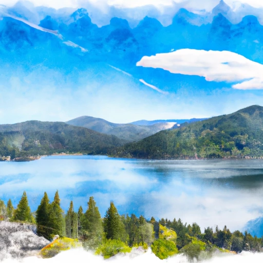
Nearby: White Rock Lake Donner Euer Valley
°F
°F
mph
Wind
%
Humidity
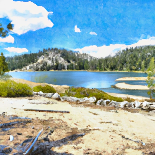
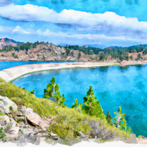
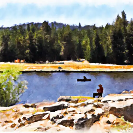
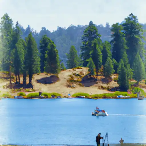
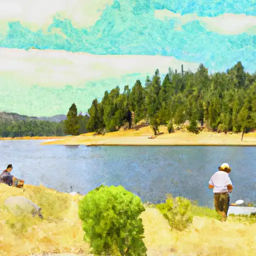
Independence Lake, located in the Sierra Nevada Mountains of California, has a rich history dating back to the Washoe people who called it "Da ow a ga".
Summary
The lake is a vital source of water for the Truckee River and supplies water to the surrounding communities. Its pristine waters are fed by snowmelt and underground springs, making it an important contributor to the hydrology of the area. Specific surface flow is managed by the Truckee Meadows Water Authority, which oversees the allocation of water to the surrounding communities. The snowpack providers are the Sierra Nevada Mountains, which play a crucial role in maintaining the water supply to the lake. The lake is also used for recreational activities like hiking, camping, and fishing. Its waters support a diverse range of species, including the Lahontan cutthroat trout, which is an important game fish in the region.
Regional Streamflow Levels
15-Day Long Term Forecast
Reservoir Details
| Lake Or Reservoir Water Surface Elevation Above Ngvd 1929, Ft 24hr Change | 0.0% |
| Percent of Normal | 100% |
| Minimum |
6,936.18 ft
2012-01-02 |
| Maximum |
6,949.91 ft
2010-06-17 |
| Average | 6,946 ft |
| Dam_Height | 31 |
| Hydraulic_Height | 27.5 |
| Drainage_Area | 7.5 |
| Year_Completed | 1939 |
| Nid_Storage | 18500 |
| River_Or_Stream | Independence Cr |
| Surface_Area | 725 |
| Hazard_Potential | High |
| Dam_Length | 847 |
| Primary_Dam_Type | Earth |
| Nid_Height | 31 |
Seasonal Comparison
Reservoir Storage, Acre-Ft Levels
Lake Or Reservoir Water Surface Elevation Above Ngvd 1929, Ft Levels
5-Day Hourly Forecast Detail
Dam Data Reference
Condition Assessment
SatisfactoryNo existing or potential dam safety deficiencies are recognized. Acceptable performance is expected under all loading conditions (static, hydrologic, seismic) in accordance with the minimum applicable state or federal regulatory criteria or tolerable risk guidelines.
Fair
No existing dam safety deficiencies are recognized for normal operating conditions. Rare or extreme hydrologic and/or seismic events may result in a dam safety deficiency. Risk may be in the range to take further action. Note: Rare or extreme event is defined by the regulatory agency based on their minimum
Poor A dam safety deficiency is recognized for normal operating conditions which may realistically occur. Remedial action is necessary. POOR may also be used when uncertainties exist as to critical analysis parameters which identify a potential dam safety deficiency. Investigations and studies are necessary.
Unsatisfactory
A dam safety deficiency is recognized that requires immediate or emergency remedial action for problem resolution.
Not Rated
The dam has not been inspected, is not under state or federal jurisdiction, or has been inspected but, for whatever reason, has not been rated.
Not Available
Dams for which the condition assessment is restricted to approved government users.
Hazard Potential Classification
HighDams assigned the high hazard potential classification are those where failure or mis-operation will probably cause loss of human life.
Significant
Dams assigned the significant hazard potential classification are those dams where failure or mis-operation results in no probable loss of human life but can cause economic loss, environment damage, disruption of lifeline facilities, or impact other concerns. Significant hazard potential classification dams are often located in predominantly rural or agricultural areas but could be in areas with population and significant infrastructure.
Low
Dams assigned the low hazard potential classification are those where failure or mis-operation results in no probable loss of human life and low economic and/or environmental losses. Losses are principally limited to the owner's property.
Undetermined
Dams for which a downstream hazard potential has not been designated or is not provided.
Not Available
Dams for which the downstream hazard potential is restricted to approved government users.
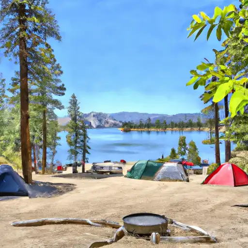
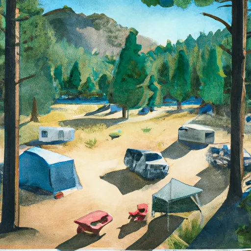
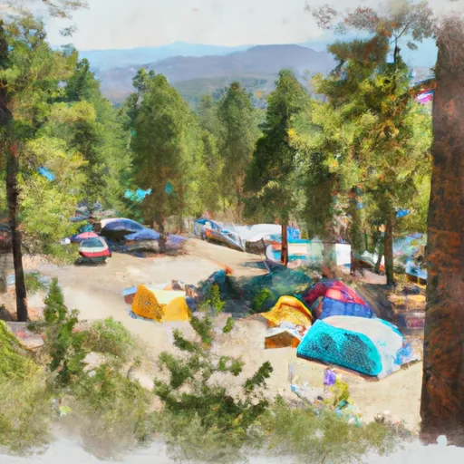
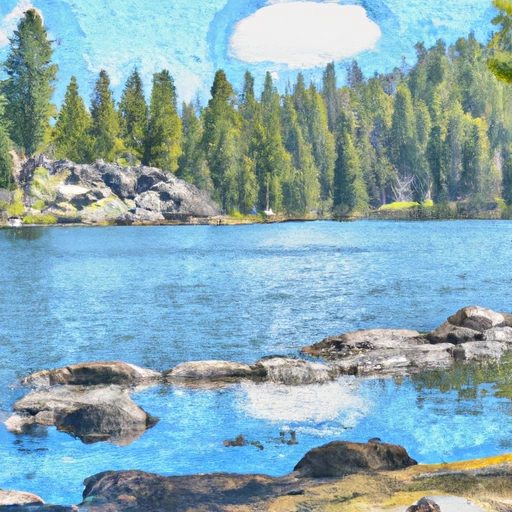
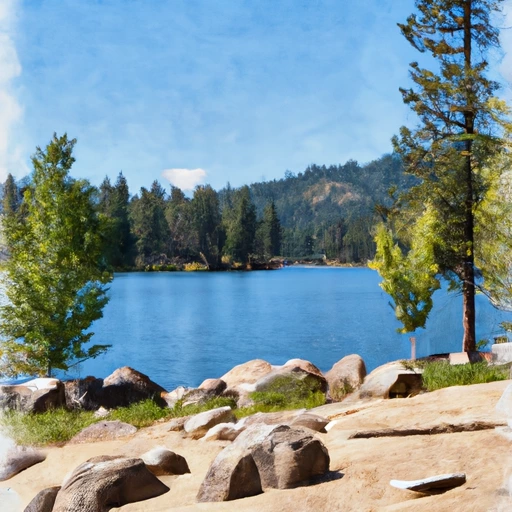
Area Campgrounds
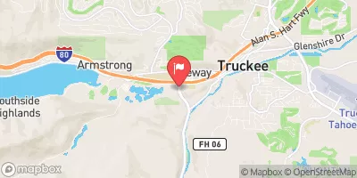
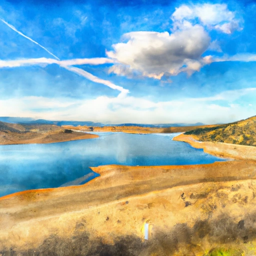
 Independence Lake
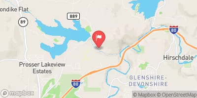
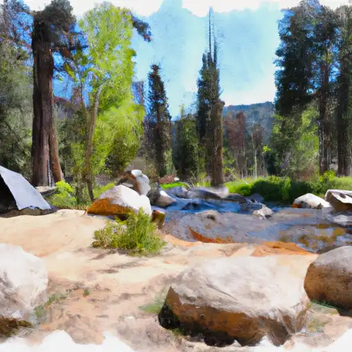
 Sagehen Creek Campground
 Upper Little Truckee Campground
 Lower Little Truckee Campground
 Upper Little Truckee
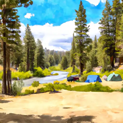 Lower Little Truckee
 Independence Lk Nr Truckee Ca
 Independence Lake Near Truckee
 Donner Lk Nr Truckee Ca
 Donner Lake
 Prosser C Res Nr Truckee Ca
 Prosser Creek Reservoir
 Capt Roberts Boating Site
River Runs
-
 Headwaters Se 1/4 Of Sec 10, T18, R15E To Stampede Reservoir
-
 Royal Gorge (Soda Springs to Tadpole Creek)
-
 Headwaters To Trailhead
-
 Tahoe City to River Ranch
-
 Generation and Giant Gaps (Tadpole to Colfax-Iowa Hill Road)
-
 Langs Crossing Bridge To One-Half Mile West Of Confluence With Fall Creek (Boundary Of Nf And Private Land)
 Donner Lake
 China Cove
 Martis Creek Lake
 Carr Lake
 French Meadows Reservoir