Mcclellan Lake dam

Mcclellan Lake
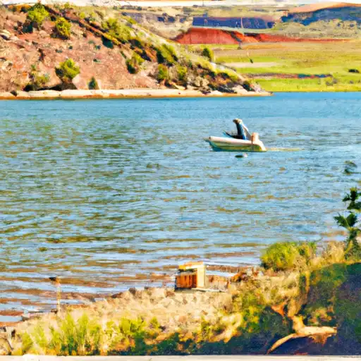
Mcclellan Lake, located in Payson, Utah, is a privately owned reservoir with a primary purpose of irrigation. Built in 1907, this earth dam structure stands at a hydraulic height of 25 feet and has a storage capacity of 33 acre-feet. The lake is fed by Wimmer Ranch Creek and covers a drainage area of 1 square mile. With a significant hazard potential and a condition assessment that is currently not rated, Mcclellan Lake is regulated by the Utah Division of Water Rights and undergoes regular inspections to ensure its integrity.
Despite its age, Mcclellan Lake continues to serve its intended purpose of providing water for agricultural irrigation in the surrounding area. The reservoir has a spillway width that is currently unspecified, but its maximum discharge capacity is recorded at 38 cubic feet per second. The dam is situated within the jurisdiction of the state of Utah and is subject to state permitting, inspection, and enforcement. Additionally, Mcclellan Lake is located in an area represented by Congressman John R. Curtis, who serves on the House Committee on Natural Resources.
As a vital water resource within the region, Mcclellan Lake plays a crucial role in supporting local agriculture and maintaining water security. With its historical significance dating back over a century, efforts are continuously made to ensure the safety and functionality of this essential irrigation reservoir. As climate change impacts water resources globally, the management and regulation of structures like Mcclellan Lake become increasingly important in safeguarding water availability for future generations.
Plan around the weather
Same NOAA / yr.no feed Snoflo's iOS app uses. Watch the precipitation column on the meteogram -- rain on the basin upstream typically lifts inflow 24-72 hours later.
Next 5 days, hour by hour
Temperature line with weather symbols on top, snow + rain accumulation as columns, humidity as a dotted line.
5-day forecast table
Every 3 hours, broken out across temperature, snow, rain, humidity, and wind. Each cell is colour-coded relative to the column min/max.
| Time | Condition | Temp (°F) | Snow (in) | Rain (in) | Humidity (%) | Wind (mps) | Wind dir |
|---|---|---|---|---|---|---|---|
| Loading detailed forecast… | |||||||
15-day temperature & precipitation
Daily temperatures, snow, and rain projected over the next two weeks.
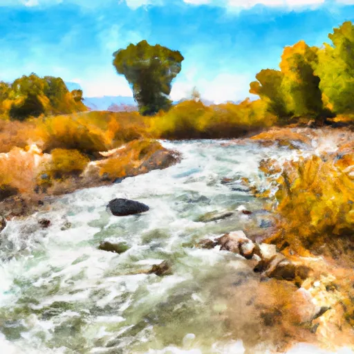
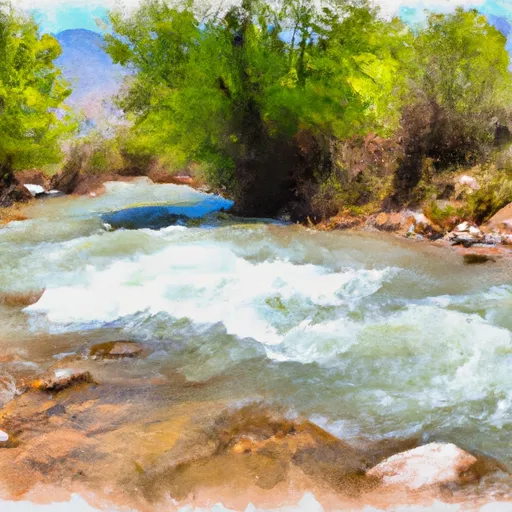
Nearby streamflow gauges
USGS streamgauges around Mcclellan Lake -- inflows here typically show up in storage 24-72 hours later.
| Streamgauge | Discharge | View |
|---|---|---|
| Summit Creek Abv Summit Cr Canal Nr Santaquin Ut | 3 cfs | → |
| Spanish Fork At Castilla | 318 cfs | → |
| Currant Creek Near Mona | 1 cfs | → |
| Salt Crk Blw Nephi Powerplant Div | 5 cfs | → |
| Hobble Creek At 1650 West At Springville | 13 cfs | → |
| Diamond Fork Above Red Hollow | 42 cfs | → |


About Mcclellan Lake
Where does the data for Mcclellan Lake come from?
Structural and regulatory data come from the U.S. Army Corps of Engineers' National Inventory of Dams (NID). Weather forecast comes from NOAA / yr.no -- the same feed Snoflo's iOS app uses.
How often is the report updated?
NID structural data refreshes annually as the Corps publishes updated assessments. The weather forecast refreshes throughout the day.
What does the Significant hazard rating mean?
The Corps of Engineers' hazard potential classification grades probable consequences if the dam fails: High = probable loss of human life; Significant = no probable loss of human life but possible economic loss / environmental damage; Low = no probable loss of human life, only minor economic / environmental losses. See the Dam Data Reference card below for the full definitions.
What's "% of normal"?
The current storage value compared to the historical average storage on this calendar day. 100% = right on average; values above 100% mean above-normal storage (wet year); values below mean below-normal (dry year or drought).
Can I get alerts when storage crosses a threshold?
Yes -- alerts are managed in the Snoflo iOS app. Favorite this dam, set a threshold, and you'll get a push the moment conditions cross.
Dam data reference
Condition Assessment
- Satisfactory
- No existing or potential dam safety deficiencies are recognized. Acceptable performance is expected under all loading conditions (static, hydrologic, seismic) in accordance with the minimum applicable state or federal regulatory criteria or tolerable risk guidelines.
- Fair
- No existing dam safety deficiencies are recognized for normal operating conditions. Rare or extreme hydrologic and/or seismic events may result in a dam safety deficiency. Risk may be in the range to take further action.
- Poor
- A dam safety deficiency is recognized for normal operating conditions which may realistically occur. Remedial action is necessary. POOR may also be used when uncertainties exist as to critical analysis parameters which identify a potential dam safety deficiency.
- Unsatisfactory
- A dam safety deficiency is recognized that requires immediate or emergency remedial action for problem resolution.
- Not Rated
- The dam has not been inspected, is not under state or federal jurisdiction, or has been inspected but, for whatever reason, has not been rated.
Hazard Potential Classification
- High
- Dams assigned the high hazard potential classification are those where failure or mis-operation will probably cause loss of human life.
- Significant
- Dams assigned the significant hazard potential classification are those dams where failure or mis-operation results in no probable loss of human life but can cause economic loss, environmental damage, disruption of lifeline facilities, or impact other concerns. Significant hazard potential classification dams are often located in predominantly rural or agricultural areas but could be in areas with population and significant infrastructure.
- Low
- Dams assigned the low hazard potential classification are those where failure or mis-operation results in no probable loss of human life and low economic and/or environmental losses. Losses are principally limited to the owner's property.
- Undetermined
- Dams for which a downstream hazard potential has not been designated or is not provided.