


Woodstock Dam Reservoir Report
Last Updated: May 2, 2026
Nearby: Rockcliff Edinburg Dam
°F
°F
mph
Wind
%
Humidity
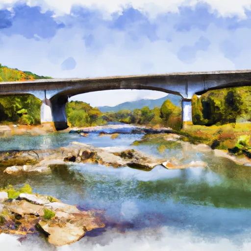
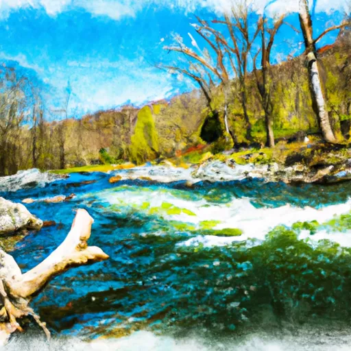
Woodstock Dam, located in Shenandoah, Virginia, stands as a critical structure for water supply purposes along the Little Stony Creek.
Summary
Owned by the Local Government, the dam is regulated by the Department of Conservation and Recreation, ensuring its safety and proper maintenance. With a height of 44 feet and a storage capacity of 102 acre-feet, Woodstock Dam plays a vital role in managing water resources in the region.
Despite being classified as having a high hazard potential, Woodstock Dam is assessed to be in fair condition as of April 2021. The dam stretches 388 feet in length, with a surface area of 3 acres and a drainage area of 7 square miles. While it does not have a designated spillway type or maximum discharge capacity listed, the dam's primary purpose of water supply underscores its importance for the surrounding community.
As a gravity dam, Woodstock Dam has been serving the area for an unspecified number of years, providing essential water storage and management capabilities. With its last inspection conducted in April 2021 and a regular inspection frequency, the dam continues to play a crucial role in water resource management, highlighting the intersection of infrastructure, climate, and environmental stewardship in the region.
Regional Streamflow Levels
15-Day Long Term Forecast
Dam Length |
388 |
Dam Height |
44 |
River Or Stream |
Little Stony Creek |
Primary Dam Type |
Gravity |
Surface Area |
3 |
Hydraulic Height |
44 |
Drainage Area |
7 |
Nid Storage |
102 |
Structural Height |
44 |
Hazard Potential |
High |
Nid Height |
44 |
Seasonal Comparison
5-Day Hourly Forecast Detail
Dam Data Reference
Condition Assessment
SatisfactoryNo existing or potential dam safety deficiencies are recognized. Acceptable performance is expected under all loading conditions (static, hydrologic, seismic) in accordance with the minimum applicable state or federal regulatory criteria or tolerable risk guidelines.
Fair
No existing dam safety deficiencies are recognized for normal operating conditions. Rare or extreme hydrologic and/or seismic events may result in a dam safety deficiency. Risk may be in the range to take further action. Note: Rare or extreme event is defined by the regulatory agency based on their minimum
Poor A dam safety deficiency is recognized for normal operating conditions which may realistically occur. Remedial action is necessary. POOR may also be used when uncertainties exist as to critical analysis parameters which identify a potential dam safety deficiency. Investigations and studies are necessary.
Unsatisfactory
A dam safety deficiency is recognized that requires immediate or emergency remedial action for problem resolution.
Not Rated
The dam has not been inspected, is not under state or federal jurisdiction, or has been inspected but, for whatever reason, has not been rated.
Not Available
Dams for which the condition assessment is restricted to approved government users.
Hazard Potential Classification
HighDams assigned the high hazard potential classification are those where failure or mis-operation will probably cause loss of human life.
Significant
Dams assigned the significant hazard potential classification are those dams where failure or mis-operation results in no probable loss of human life but can cause economic loss, environment damage, disruption of lifeline facilities, or impact other concerns. Significant hazard potential classification dams are often located in predominantly rural or agricultural areas but could be in areas with population and significant infrastructure.
Low
Dams assigned the low hazard potential classification are those where failure or mis-operation results in no probable loss of human life and low economic and/or environmental losses. Losses are principally limited to the owner's property.
Undetermined
Dams for which a downstream hazard potential has not been designated or is not provided.
Not Available
Dams for which the downstream hazard potential is restricted to approved government users.
Area Campgrounds
| Location | Reservations | Toilets |
|---|---|---|
 Wolf Gap
|
||
 Wolf Gap Recreation Area
|
||
 Trout Pond Campground
|
||
 Trout Pond
|
||
 Trout Pond Recreation Area
|
||
 Little Fort OHV
|
 South Mill Creek Near Mozer
 Bloomington Lake Near Elk Garden
 Savage River Reservoir Near Bloomington
 Kimsey Run Road Hardy County
River Runs
-
 The West Virginia 259 Bridge South Of Wardensville To Ends Where The Lost River Becomes The Cacapon River
-
 Begins Where The Lost River Becomes The Cacapon River To Wardensville
-
 Wardensville To The Town Of Capon Bridge
-
 Segment B--State Route 730 Bridge To Nf Boundary
-
 Segment C--Nf Boundary To Confluence With North Fork Shenandoah River
-
 State Route 675 At Edinburg, Va To State Highway 55 Southeast Of Strasburg, Va
 Tomahawk Pond Day Use Area
 Batzell Boat Launch
 Bealers Ferry Pond Accessible Fishing Site
 Bealers Ferry Boat Launch
 Moody Boat Launch